.jpg)
Spruces Campground is a really pretty campground located near the top of Big Cottonwood Canyon. It features well, camping. but also a lovely mixed forest, several streams and of course Big Cottonwood Creek. It is a nice place to come enjoy the fall colors without a ton of effort since it is paved. We did it last year and quite enjoyed it so we thought we would come up and do it again. Plus last time we missed the upper loops.

Quick Details:
Length: Approximately 2.25 miles loop de-loop depending on how much wandering you do. To add the upper, upper loop looks like it would be an additional 4/10ths of a mile.
Trail Type: Loop de-loop
Difficulty: It is paved and mostly flat. I would say the lower loop is a DR2, and the upper would be a DR3 since there is a bigger hill on the upper loop.
Elevation Gain: About 430 feet.
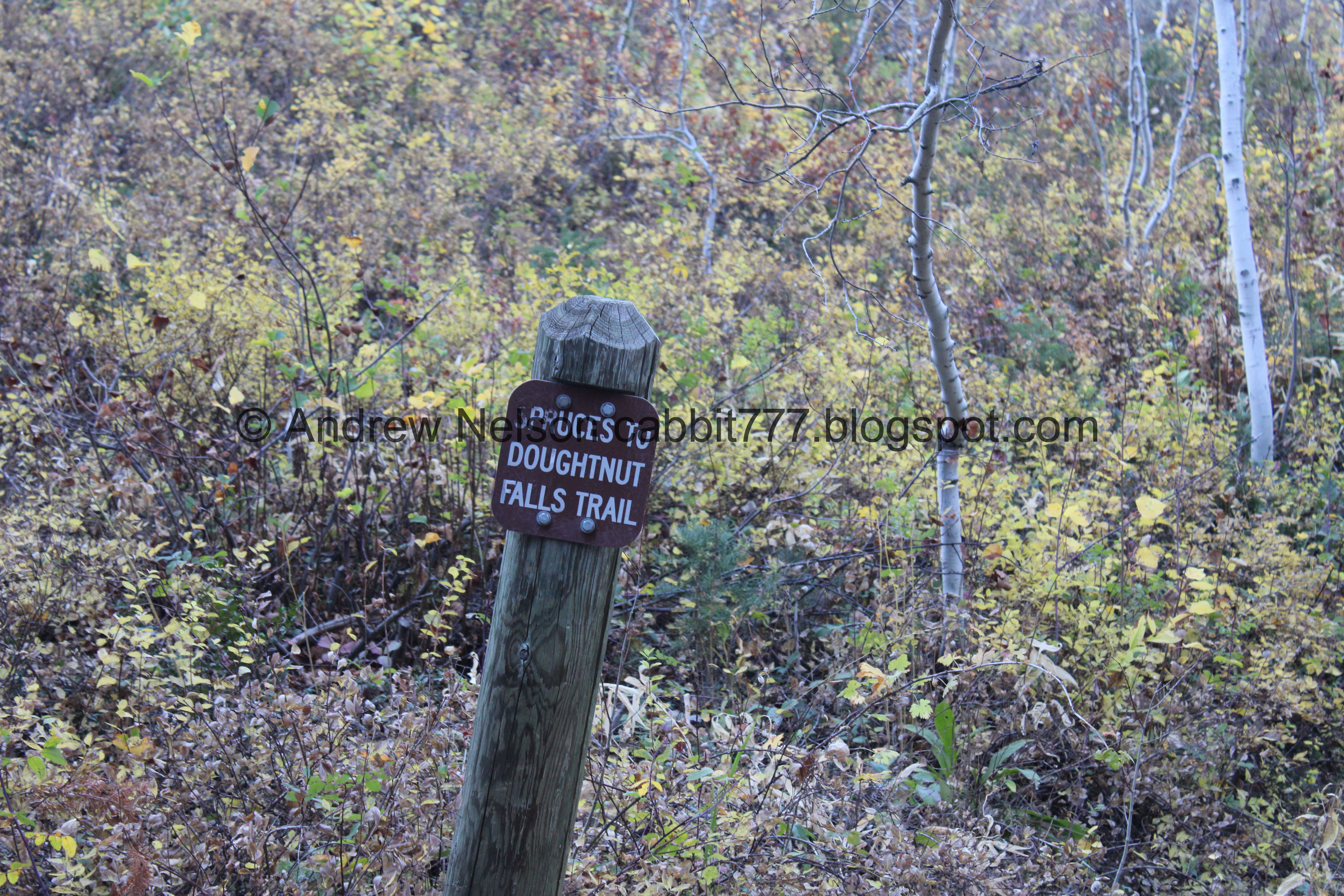
Restroom: Several, but they are closed this time of year. Nearby Mill D has some that stay open this late.
Dogs? No. Big Cottonwood Canyon is watershed.
Other Info:
To Get Here:
From Wasatch BLVD drive approximately 9.7 miles up Big Cottonwood Canyon. Spruces Campground will be on the right just a little way past Mill D.

The mouth of Big Cottonwood Canyon (Passenger Seat Photography (PSP)). The colors are a lot more muted this year.

Thin band of aspens amongst the conifers (PSP).


Colorful hills (PSP).

Mill D with some terrible reflection (PSP).
The Trail:

Some color at the parking lot.
So the campground is closed for the season, however there is a large parking lot in the middle that is still accessible.

Little yellow flowers.

Onto the lower loop. As you can see the road is closed to cars, but as far as I can tell you are allowed to walk around.


Some naked aspens, but also some color.

Aspens.

The first little stream.

Aspens.

Second little stream.

The narrow road.

Third little stream. I am not sure if these are natural streams, or if a larger stream was diverted. I know this area used to be a tree farm a long, long time ago. Then again, it could just be an area with a lot of natural springs like the Albion Basin and that is why they farmed here. Both are just guesses, I really have no idea.

Downstream.

Fourth little stream.

Downstream.

Here is my favorite part of this little walk. A pair of larch trees. these are the only larch trees I have found in Utah so far, and I just love them. Larch trees are cool because they are coniferous trees that are also deciduous. Which means the needle baring trees go through the fall change and then shed them like most leafy trees.

I am a little butthurt about the lighting again. Maybe I will come back a little earlier one day and get them with better lighting.

Underneath.

From the front.

Continuing along.

Across the canyon towards Mill D North.

Some aspens and the gate to the lower, lower loop. We skipped that last year, so we decided to check it out this time.

The road is even more narrow for the lower lower loop.

Aspens.

Some slash piles. The forest service gathers dead wood and other fire fuels into these slash piles. Then when conditions are favorable they burn them and monitor them. This helps prevent devastating fires.


A peak above.

Some pretty orange.

Found some geraniums still hanging on.

More aspens.

Back on the main lower loop.

Pretty trees.

This looks like a thistle, but also seems off. So.. I don't know for sure.

One of the little streams.

Big Cottonwood Creek.

Where 2 of the streams join before joining Big Cottonwood Creek.

Little band of aspens amongst the conifers.

Days Fork. There is a trail up there too, but we haven’t done it. It sounds like it might be tough without much reward.

Little clearing.

Squirrel!

More aspens.

Another slash pile.

Continuing along.

Some asters hanging on.

Little log bridge over a one of the little streams.

Upstream.

Downstream, where it joins Big Cottonwood Creek.

Big Cottonwood Creek.

Little waterfalls in the small stream.

Big Cottonwood Creek again.

Downstream.

The stream again.

Almost back to the main parking lot again.

Some flowers going to seed.

Aspens above.

Little road that leads to what appears to be a private cabin. Probably a site host cabin, but I don’t really know.

UDOT avalanche snow study. Which is just a fenced of area with some equipment. Kind of neat.

The upper loops are behind this barricade. I’m not sure why there isn’t just a gate like the lower loop, but alright.

Heading into the upper loops.

These look like lodgepole pines.

Oh, here is a gate. I guess they decided they set it back too far, so they added the extra barrier?

Quite a few geraniums.

Closer.

Aspen lined road.

That seems like an excessive amount of golf carts for one campground, but okay.

Aspens.

Big Cottonwood Creek.

Mixed forest.

Closer.

Some purples.

Another side stream. I think we are up to 5 now.

Big Cottonwood Creek again.

The access to the upper, upper loop. We decided not to do that today as the upper section was a bit longer than we thought and Landis’s foot was barking at him. Playing around on google maps it looks like it would only have added an addition 4/10ths of a mile which isn’t too bad, but meh. Next time. Like the lower, lower loop it looks like it is a small balloon spur.

Instead we continued around the main upper loop.

Another side stream I am going with 6 now, but it is getting harder to distinguish them all.

Color.

A lot of the aspens have turned, but there are still quite a few green ones up here too.


More color.

Forest floor.

There aren’t as many campsites on this side of the loop. I am totally pulling this out of thin air, but I would guess the thin road was an issue so they added this part and made it a one way road to handle that.


Very much enjoying the color today.

Looking up.

I love the leaf littered road.

Up again.


Super pretty through here.

Fall vibes.

Looking up.

Across the canyon towards Mill D North.

Don’t forget to look behind you once in a while. I kind of wished I had done so more often today.

Aspen.

Back down to where the main upper loop joins to a single road back to the parking lot.

Aspen lined road.

Aspens.

Little clearing.

Just above the main parking lot is another stream, which I am going to go with seven. again, it really is hard to keep track, but I am going to confidently say there are at least seven streams coming down through here.
Anyway, at this point we were done exploring the campground.

Big Cottonwood Creek (PSP).

We decided to continue up to the top of the canyon before heading back down (PSP).

The aspens near the top appear to be about done (PSP).

Entering the Brighton Loop (PSP). As I expected it is a complete freaking zoo. Including not 1, not 2, but several drivers going the wrong way around the loop. I mean, luckily the road is wide enough it was not an issue, but seriously people, LOOK AT THE SIGNS!!!!

Near the back end of the loop we found a moose friend. Wow, he/she is very small. Must have just been reared away from mom.

It was so small that I kept looking around for mama, but I guess it is on it’s own. Hope the cute little guy makes it through winter.

Hello cutey!


It stopped eating and looked up at us, which made me worry we might have been a little too close. Reminder, I have a telephoto lens, so I was a good distance away. But still you have to wonder sometimes.

Okay back to doing moosy things. Oh good.
Well, we decided we had seen it and decided to let it be.

The waterfall coming out of Twin Lakes has almost dried up completely. We could hear that it was running a little bit, but nothing like earlier in the year.

Some more color up here.

Back to our moose friend who is now getting a quick drink.

Then it decided to retreat into the woods.
Well that was fun but it was time to head on home.

Scott Hill (PSP).


It’s getting a bit dark for photos but meh. Here is some more color (PSP).

The Storm Mountain Picnic Area is normally pretty vibrant, but not so much this year (PSP). I'll give it some more time, but it is looking pretty brown.
That was a fun extra adventure to get some leaf peeping in. It also wasn’t as busy as we thought it might be, I mean the canyon was definitely busy, but the campground wasn’t too bad. Plus with it being paved it is a super easy adventure. 9 out of 10 squirrels today.
As for difficulty, it is paved with some mild climbs. DR2 for the lower loop, DR3 for the upper due to a longer hill.
Dogs are not allowed in Bog Cottonwood Canyon so be sure to leave Fido home for this one.

No comments:
Post a Comment