.jpg)
Ferguson Canyon is a narrow canyon adjacent to Big Cottonwood Canyon. It features a small waterfall and soaring cliff walls, popular for rock climbing. Eventually the trail leads to an overlook but I have not made it that far. This is also a lovely trail to do in the warmer months.

Quick Details:
Length: 2.6 miles out and back to the waterfall. It continues an additional 3/4 mile (one way) to an overlook.
Trail Type: Out and Back.
Difficulty: DR5 this is a climb! And the last part is super steep.
Elevation Gain: 750 ft.
Restroom: No. Closest one I can think of is at the mouth of Big Cottonwood Canyon. Park and Ride lot or 7/11.
Dogs? Yes, leash required. And be warned, despite the 6 to 10 signs informing you of this, a lot of entitled dog owners do off leash. So be aware of that if it will not be good for you or your dogs. I don’t encourage this, and personally I wouldn’t risk the fine.
To Get Here:
Take i215 to the 3000 E./Wasatch Blvd. Stay in 2nd ln to the left to go on Wasatch, and turn right onto it. Stay in the left lane, go up the hill. Go past Big Cottonwood canyon, and take the first left afterwards. Immediately turn right. Take the 2nd left. Or just follow the signs.
If the parking lot is full, there is overflow parking towards the bottom of Prospector Dr. This will add 3/10’s of a mile (one way).

Ferguson Canyon from Wasatch Blvd (Passenger Seat Photography (PSP)).
The Trail:

Starting the trail.

Still holding on to their leaves.

Before long you start getting a great view of the valley below. And even with a little haze, I can see all the way to downtown.

Panoramic.

The Kennecott Copper Pit.

The water tower.

Another panoramic.

Little Cottonwood Canyon.

You can see the gully Below Big Cottonwood Canyon. There’s a ‘trail’ in there, The Big Cottonwood Canyon Trail, its interesting but not particularly pretty.

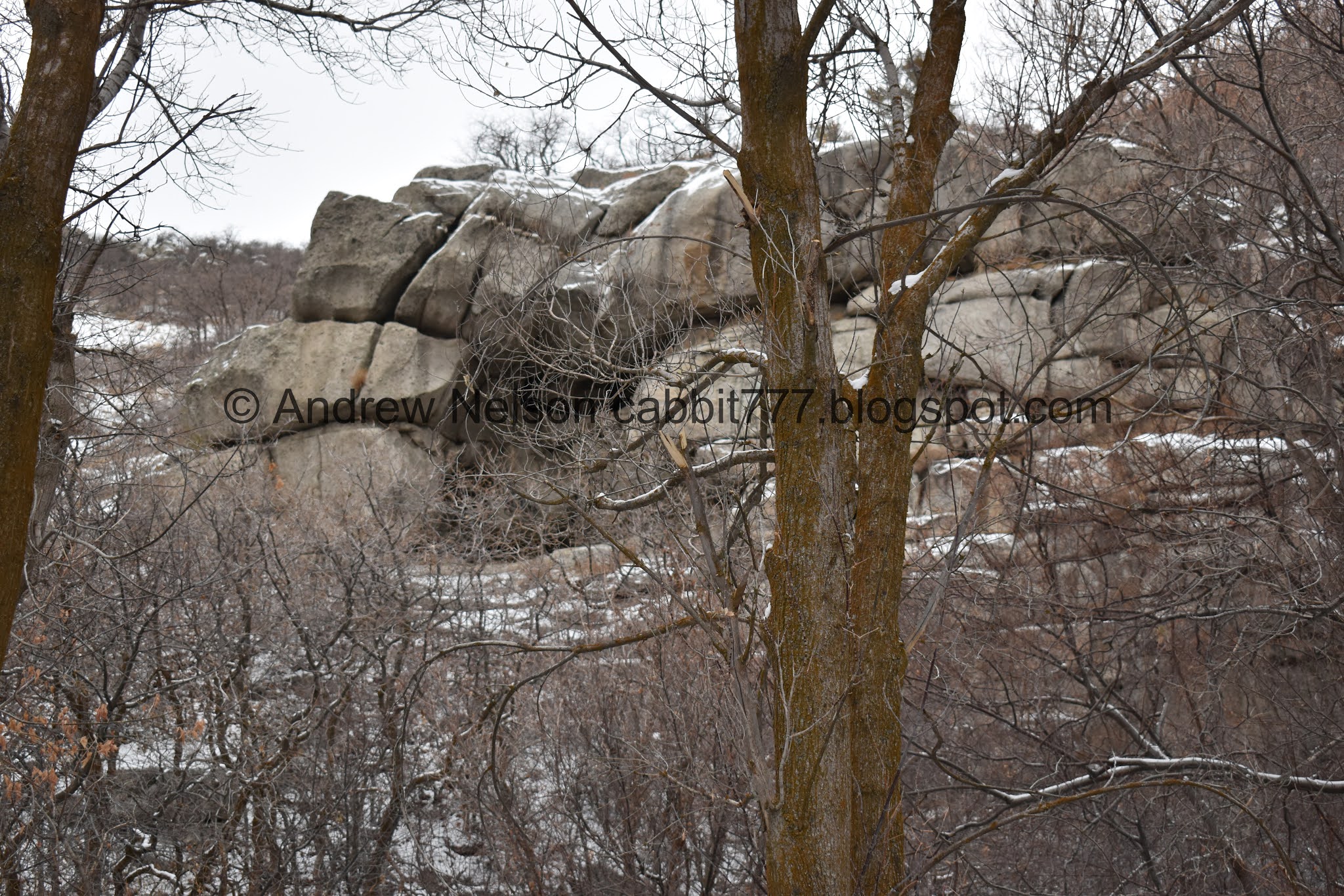
Ferguson Canyon.

I never noticed that little alcove before.

One of the frustrating things about this trail is you gain elevation, then lose some of it, only to gain it right back.

Into the scrub oak!

More leaves hanging on.

Tree tunnel.

The trail inclines so slowly that you barely notice it, until you suddenly realize you are huffing and puffing.

Spring.

I have been amusing myself along the trail seeing all the spots where people didn’t have enough traction.
The alcove again.

At about .65 miles you will reach the Twin Peaks Wilderness sign. Here is where the trail starts getting exciting.

Little stone stairway.

The creek below.

The canyon narrows between these granite cliffs.

Passing next to the cliffs.

Random shelter.


The fun cliffs.

Neat little alcove.
During the warmer months there is pretty much always a group of climbers on this. So it’s nice to get a picture without feeling like a creeper.

Looking up. These are some neat cliffs.

More cliffs. I think you can pretty much call this a Box Canyon. Except that technically you can continue up at the back. Its just steep as balls.

I love all the folds and cracks in the granite walls.

Snowy cliff.

Looking back through the narrows.

Another random structure.

Another sweep past the cliffs.

More cliffs.

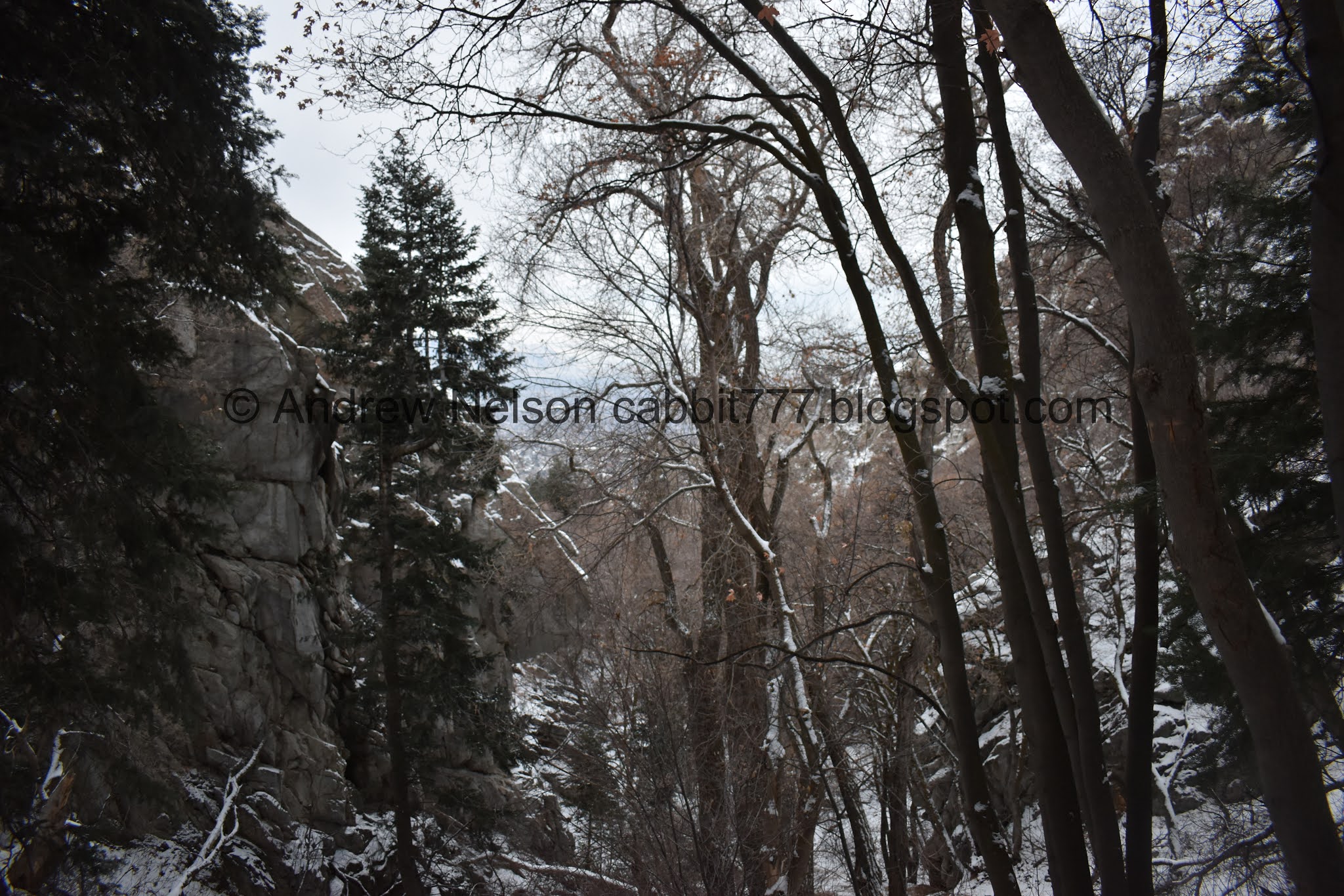
It’s amazing that the forest thrives in such a narrow canyon.

Fun little tree arch.

Another structure.

More climbing.

Small peak.


Ice patch. Considering how much the creek fans out across the trail in the summer months, I was surprised this is the first one we came across. I had spikes on, Landis did not. We both made it, up and down just fine. However, there is evidence of people that were not so lucky so, I recommend having spikes.

More cliffs.

Quick creek crossing. It wasn’t so bad.

Really narrow section between the cliffs here.

Then comes the climb of doom! This is seriously a lot more steep than the photo lets on. When I did it last time, I really struggled, but made it to the waterfall. Oddly enough I didn’t struggle as much, even with the snow. Probably because I had done it before.

Starting the climb.

Getting close.

Woo! We made it! This is certainly not the most impressive frozen waterfall, that particular honor, at least locally, falls to Waterfall Canyon. However it is neat.

A little closer.

Here you can see the water trickling down from above.

A little closer.
Looking back down. Eep! Also, note the family tree to the left.

I managed to squeak in a little closer.

With the above section.

View down again.
One parting shot before heading back down.

The family tree again.

Okay, looking back towards the waterfall again.

Frozen cascade.

Heading back down the steep slope. It was a little tougher going down than it was coming up.

Cliff that looks like a dog.

The creek again.

Back to the ice sheet.

Back to the tree arch.

Forest.

Little side alcove. This is actually quite pretty in the warmer months.


The narrow squeeze below.

Closer.

It opens up again, and then narrows again.

Cliff walls. Again, it’s nice to see them without rock climbers on them.

A cave?

Eh.. just a little alcove.

Looking up.

I love these cliffs.

Twin alcoves.

Out of the cliffs and into the forest.

Down through the scrub oak.

Tree tunnel.


Small patch that is still holding their leaves.

The short climb out. Oi. My legs are feeling pretty noodley.

Big Cottonwood Canyon.

Ferguson Canyon.

We’ve been timing our hikes lately to perfectly see the city start to light up, but not be on the trail after dark. I sure hate these short winter days.

One particularly bright Christmas tree haha. I almost thought it was The Tree Of Life, but no, that is a bit further south.

Panoramic.

The little amphitheater near the trailhead.

The valley below again.
That was a tough trail! But it was pretty and we enjoyed it. Even if my legs are still barking at me haha. But, my bad, should have stretched. It wasn’t super busy today, so that was nice. And I enjoyed seeing the cliff walls without rock climbers on them. That last climb is a intense though! Probably wouldn’t be a great idea with much more snow on it. Going with 9 out of 10 squirrels.

As for difficulty, This whole trail is a climb, with a couple spots that level out for a second. But the final climb to the waterfall is seriously strait up! DR5.
Dogs are allowed, and should be leashed.

No comments:
Post a Comment