.jpg)
Ghost Falls is a small waterfall located in Corner Canyon in Draper. Aside from the waterfall, the trail features some neat old car wreckages, a lovely scrub oak forest, and some nice views of the valley below. I was a little surprised to find that the waterfall was not even partially frozen. However, it is south facing so I guess I shouldn’t be too surprised. The trail we used however, was quite frozen as it is on the north facing slope. There are several ways to get to the waterfall, but I prefer the Canyon Hollow Trail. we actually did this earlier this year, but I figured we would do it again.

Quick Details:
Length: About 2.8 Miles out and back.
Trail Type: Out and back, loop options.
Difficulty: DR3.
Elevation Gain: 680 ft.
Restroom: Yes.
Dogs? No. In corner Canyon everything above the BST is watershed. And the majority of this trail is above the BST.
Other Info: Microspikes highly recommended. Also, avoid this trail if it is muddy. If your boots are gathering mud, you are damaging the trail.
To Get Here:
This is one of those, tucked into a neighborhood trail heads so its a little complicated.
From I-15 take exit 289 for Bangerter Highway. Go east towards the mountains. After about a half mile turn left on 13800 S. After 1.7 miles turn right onto 1300 e. 300 ft later turn right on Highland Dr. .8 miles later turn left on S. Rambling Rd. .8 miles later you will hit a traffic circle, take the first exit onto Mike Weir (snicker) Dr. Turn left onto Pinon Hills Ln. Turn Right onto Canyon Vista Dr. Turn left onto Gray Fox Dr. Turn Right on Coyote Hollow Ct. Park.
Or do what I did, and put Coyote Hollow Trailhead into your map app and let it guide you.

There is a surprisingly small amount of snow on the mountains for this far into December (Passenger Seat Photography (PSP)).
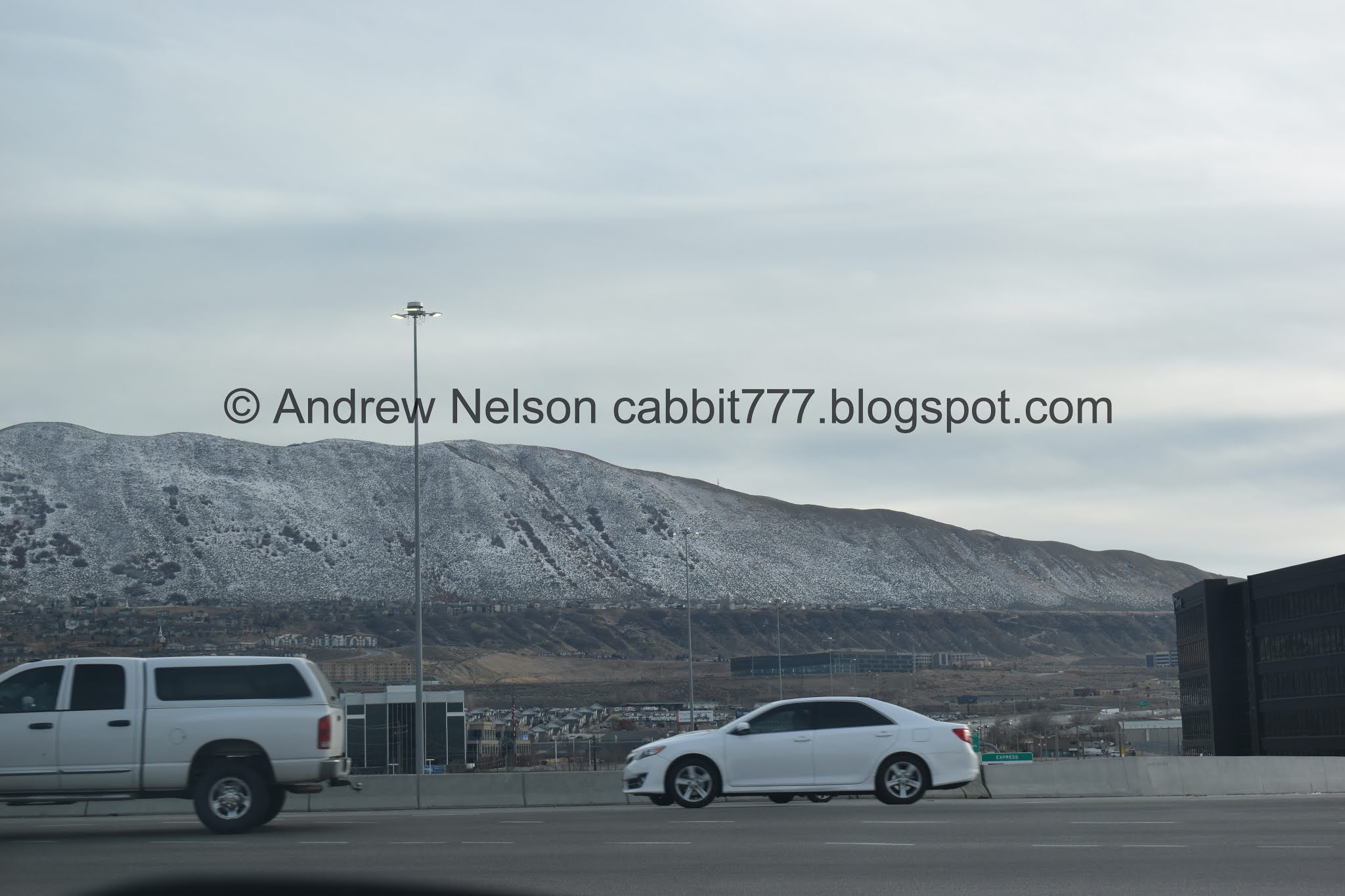
Out near draper, the snow line stops on the Bonneville Shoreline (PSP).

I kind of want a sign like this to put in my driveway haha.
Its a little frustrating. A 20 ish stall parking lot, and only 6-8 are Hiker Only. I think it is a little unfair to allow temple visitors to use this as overflow parking. However I have never experienced an issue finding parking here so maybe I am being overly critical.
The Trail:

The trailhead. You want to go to the right of this sign, and then immediately take the left fork. Forward leads to Clarks Trail.

On our third visit to the falls, I find I am more comfortable navigating the web of trails in the canyon, and felt that the signage was adequate today. I did have the map on standby on my phone, but did not need to use it today. Hooray! Follow signs for Canyon Hollow, so a right here.


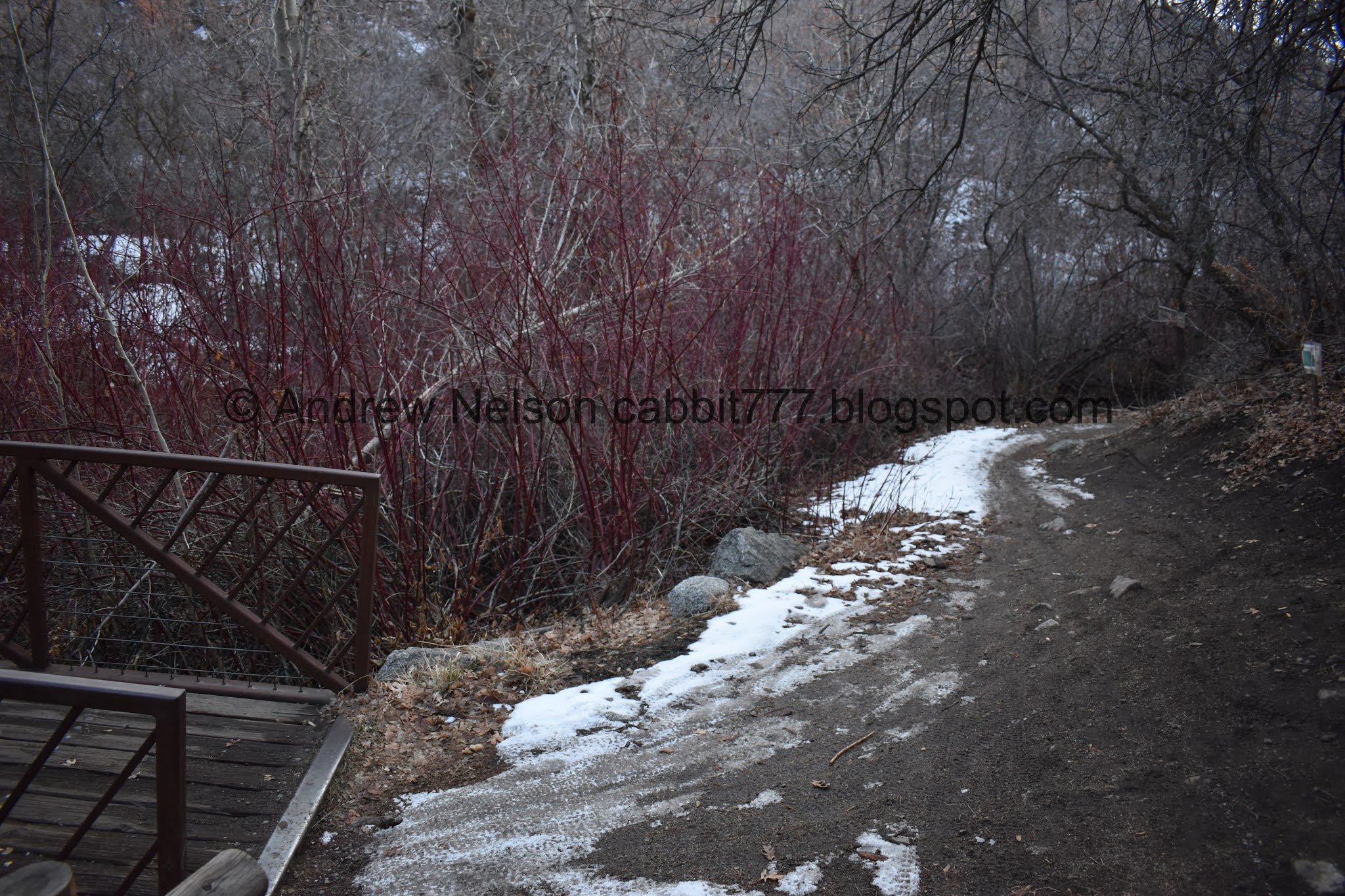
I know the leaves are dead, but it is crazy how many of them have not yet fallen.

Following the signs for Canyon Hollow, hang a right here.

More color.

Icy trail. You’d think slipping a few times would have made us stop and put the microspikes on. But no haha. Neither of us ever fell, but we both slipped enough times to learn the lesson of: if you think you might need the microspikes, put them on. I don’t know why we didn’t today.

View below.

Burnham Gorge.

Colorful hill.


The silica pit.

I love the random bright colors against the white silica.

Back into the scrub oak.


Icy trail, lots of color still.

View down again.

The scrub oak is getting a bit thicker.

Looking up the side of the hill.

Memorial Cove. That is a fun, short little side trip. I figured if we have time on the way down we might go back. Btw, this is approximately halfway.

Looking down the side gully.

Tree tunnel.

View down again.

Eventually the trail becomes the old canyon road for a little ways.

This first trail split off from the canyon road says Ghost Falls, and takes you to the Ghost Falls Trail. It is actually a more direct and shorter route, however it is a little bit more steep and thin. I didn’t want to do that with the possibility of ice so we stayed on the Canyon Hollow Trail.

The second split off from the road will keep you on the Canyon Hollow Trail.


This section is in a nice thick forest.

The creek below.

More forest. There are 1 or 2 side trails through here that are not labeled. Just stick to the main trail.

The 1st of 5 bridges.

I have rarely noticed water in this particular ditch, however, it is quite deep and would prove to be quite an obstacle without the bridge.

The trail is quite windy through here. Probably lots of fun for bikers.

The 2nd bridge.

Over the same deep trench.

More trees with leaves that refuse to drop.

This trail sign is not in the best place, but it is there. You want to take the split to the left.

Short little stint back downhill.

The creek again.

One of the 2 wrecked cars.

The other one.

The 3rd bridge.

This one appears to have at least a little water in in.

Bridge number 4 is the smallest. Which is kind of funny because…

It crosses the most active creek.

There is a small waterfall under the bridge above.

The 5th and final bridge. The waterfall is just to the right of it.

It is not the most impressive waterfall, but it’s kind of nice.

Lots of signs warning to watch out for poison ivy. In all my exploring all over the Wasatch Front, this is the only place I have seen warning for poison ivy. I am sure it exists elsewhere but I’ve never seen it.

This sign is new.

A little closer.

The creek below the falls.

Fancier warning sign.

Back down to the bridge.

The waterfall and the creek below.
Closer view.

Again.

From the side.
You can scramble up a steep slope to see an additional tier, but I didn’t find the reward worth the effort. So we didn't do that this time.

The rock wall.

The waterfall and creek.
As I mentioned you can make this a loop or a balloon and go down this trail (Ghost Falls Trail). We returned the way we came today via the Canyon Hollow Trail.

From the bridge again.

The little alcove it sits in.
Alright, time to head on back.

This seems new too.

Don’t let this sign throw you off. There is an upper Ghost Falls Trailhead. I have never taken this trail, but I imagine you will notice it is heading the wrong way. Anyway, head right and take the lower bridge.

The little cascade below the upper bridge.

Back into the forest.

View down canyon.


The wreckages again.

Back on the Canyon Hollow Trail.

View down again.

Little bit of sunset color.

Crossing the deep trench again.

More forest.

Back to the old canyon road.

The temple lighting up for the night.

View down again.

Passing Memorial Cove again. Even though it is super short, we opted to skip it today. It is getting dark.

More leaves hanging on.

The nearly full moon making an appearance.

More forest.

View down again.

More leaves.

The Downhill Rush Trail passes through here. Watch out for fast moving bikes!

View down again.

More trees.


Back to the silica pit.

The near full moon above Mount Jordan.

Looking over the Corner Canyon Crossroads and the Lower Corner Canyon. We did a random Black Friday adventure through there.

Okay, I am like, 99.99% sure that is The Tree Of Life down there.

A quick crop.

Waning light.

Deer trail. We almost always see deer on this trail, but there is no way that would happen in winter. It’s pretty noisy business walking on snow and ice.

More unfallen leaves

Moon through the trees.

City lights as we head back down the hill (PSP).
I was a little disappointed to find the waterfall not frozen, like, even partially. That was the main reason I decided to do this trail today. However I still enjoy a good waterfall, even if it is a bit smaller. The trail was pretty, and we only passed 1 other hiker, which was nice. Going with 9 squirrels again.

As for difficulty, its a a climb, but it is a gentle climb. The icy patches made it a bit more tough, but still not too bad. DR3.
Dogs are not allowed above the Bonneville Shoreline Trail, which the great majority of this trail is, so leave Fido at home.

No comments:
Post a Comment