.jpg)
The South Island Trail on Antelope Island is a great way to explore the southern end of the island. It features lovely mountain views, wildlife, and great birding opportunities. It is/was typically an 8 mile out and back (or if the gate isn’t open, 11 out and back) long trail. It’s pretty flat, so I thought I could do 8, but was surprised with the 11 that day, so we only made it about halfway that time. Anyway, the island recently announced that they have extended the South Island Summer Rd. an additional 3 miles, which shortened the trail to about a mile. I was so freaking excited that I totally forgot how awful the biting gnats are this time of year haha. Don’t get me wrong, I am super thrilled that we finally got to explore the southern tip of the island, but I am currently nursing a bunch of bites. And I was thoroughly reminded of the reason we don’t go to the island in the warmer months.

Quick Details:
Length: 2.09 Miles out and back with the extended summer road open. 8 if the shorter summer road is open, and 11 if the summer road is completely closed.
Trail Type: Out and back.
Difficulty: DR3. Its fairly flat and easy to do.
Elevation Gain: about 26 ft with the shortest version.
Restroom: No. But there is one at Fielding Garr Ranch.
Dogs? Yes, maximum 6 ft. leash required.
Other Info: Fee area. As of sometime in 2020 it increased to $15.00 per vehicle. The biting gnats are out, and they are vicious. Bug spray does not help. And today we learned mosquito netting doesn’t either (well maybe a little, but not 100% effective). And lastly, you will need to drive 4.5 miles down a dirt rd. (when the road is open).
To Get Here:
From i15 take the Antelope Drive exit in Layton and head west. Stay on Antelope Drive and you will eventually hit the ranger station at the beginning of the causeway. Pay your dues, cross the causeway. When you reach the island, take the first 2 lefts following signs for Fielding Garr Ranch.
Just past the ranch is a gate, if it is open continue on the dirt road for approximately 1.5 miles to the next gate. If it is open, continue an additional 3 miles on the dirt road to the small parking lot at the end. If either gate is closed, you will add that to your hike.

Hrm. Some angry looking clouds (Passenger Seat Photography (PSP)). Hopefully we don’t get rained on.

The fee station with the new lane (PSP). Unfortunately, it did not work out for us today. Either they changed how it is supposed to work, or this particular employee was confused. But, as they announced on FB it is for day users only, who are paying with a card. After waiting for a bit, then backing up and getting in the main line the employee said she could not see our yearly pass and that’s why she didn’t open the gate. ??? That is not how it was supposed to work? Then when we said that is was different last time she said it was just her today so she couldn’t operate both lanes. So maybe.. put a cone in the secondary lane if you can’t run both? Eh, minor misunderstanding that ultimately didn't really delay us, but still left us scratching our heads.

The causeway, getting close to the island (PSP).

Island Sign (PSP).


Bison (PSP).

Heading down the island (PSP).

Frary Peak and Dooley Knob (PSP).

Fun rock formation below Frary Peak (PSP).

Storm over Layton (PSP).

After passing Fielding Garr Ranch we hit the first gate, and thus the dirt road (PSP). The dirt road is well graded and I think most cars will do just fine on it.

Passing by the split for The Sentry (PSP). Another fun trail to do.


Fun peaks along the spine of the island (PSP).

The dirt road is not bad at all (PSP).

As far as I can tell, this peak is not named (PSP).

The Bonneville Shoreline is strong here (PSP).

I thiiiiiink that this is now the furthest south we have been on the island (PSP).

All the dirt we are kicking up onto the back window.

More dirt road (PSP).

The unnamed peak (PSP).

More of the road (PSP).

A couple of springs (PSP).

Nearing the end
I did not get a photo of it, but there is a minor split at the end, right leads to a gated service road, and left leads to the parking lot. It seems fairly obvious, but just in case.

Right off the parking lot is the old causeway.

I wonder why they didn’t maintain this one. It sure would make getting to the island easier.

It looks like it goes strait into downtown. Actually, following it along on google maps, it looks like it leads to just west of the airport. Still would be a bit more convenient.

Storm clouds to the north.

Look at all the dirt we kicked up.
The Trail:

There isn’t any signage out here yet, but this was the only opening in the fence so I figured it must be the way to go.

Its starts with this section of beach sand that is a bit of a pain to walk through. Luckily it is just this short spot.

There appears to be a spring here as well.

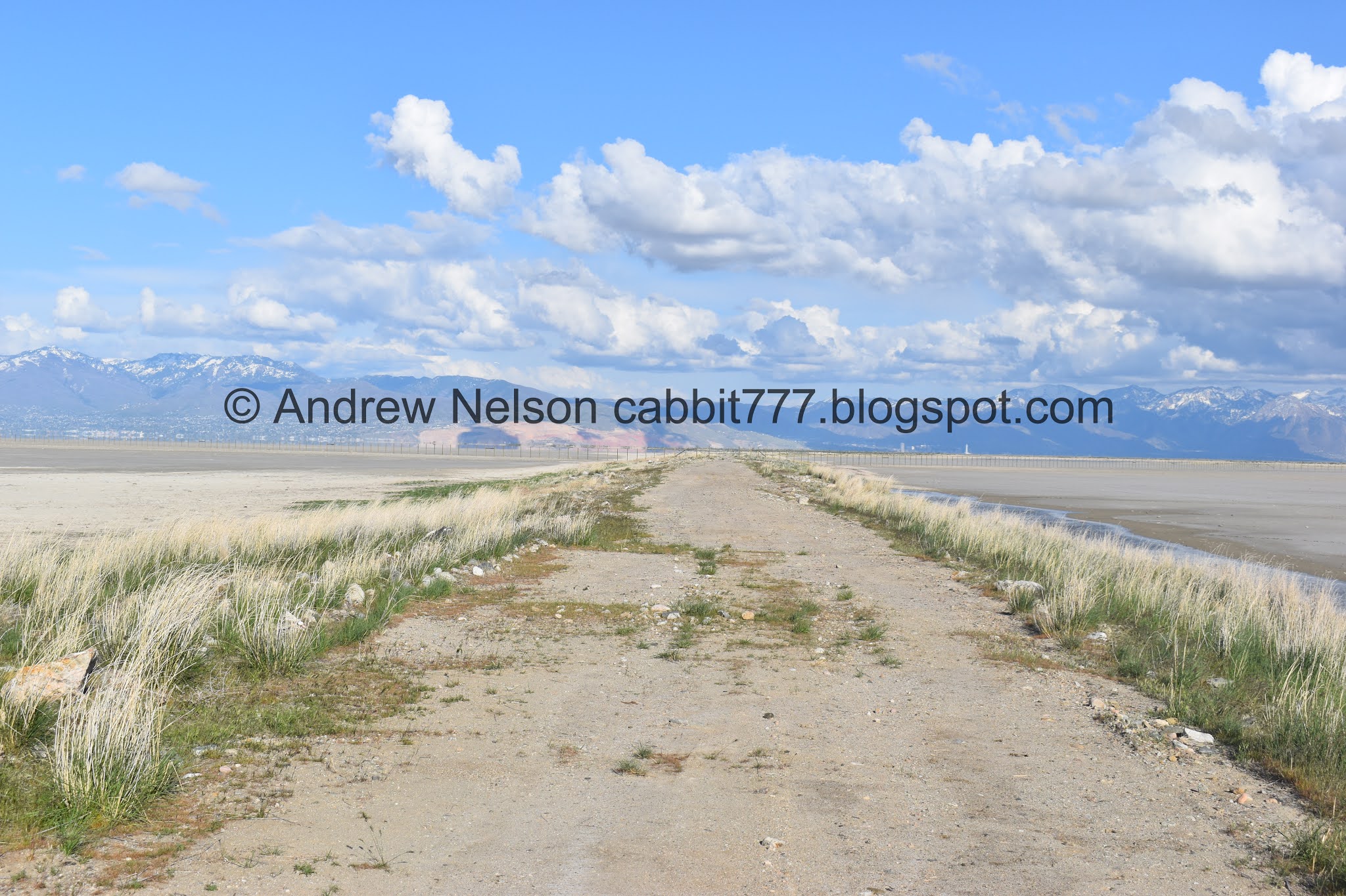
The trail is an old dirt road.

Lone bison.

Looking back at the old causeway.

There were 2 spots the no see ums were really, really bad. Oi.

Fun rock formations.

Another spring.

Neat rock formations and an… interesting peak above them. As far as I can tell it is un-named.

One tiny little hill to be climbed. It’s seriously nothing.

Down the other side.

I love these little tufts of grass? Or whatever they are.

Looking back towards the old causeway again.


Here you can see Unicorn Point, and start to understand why it was called that.

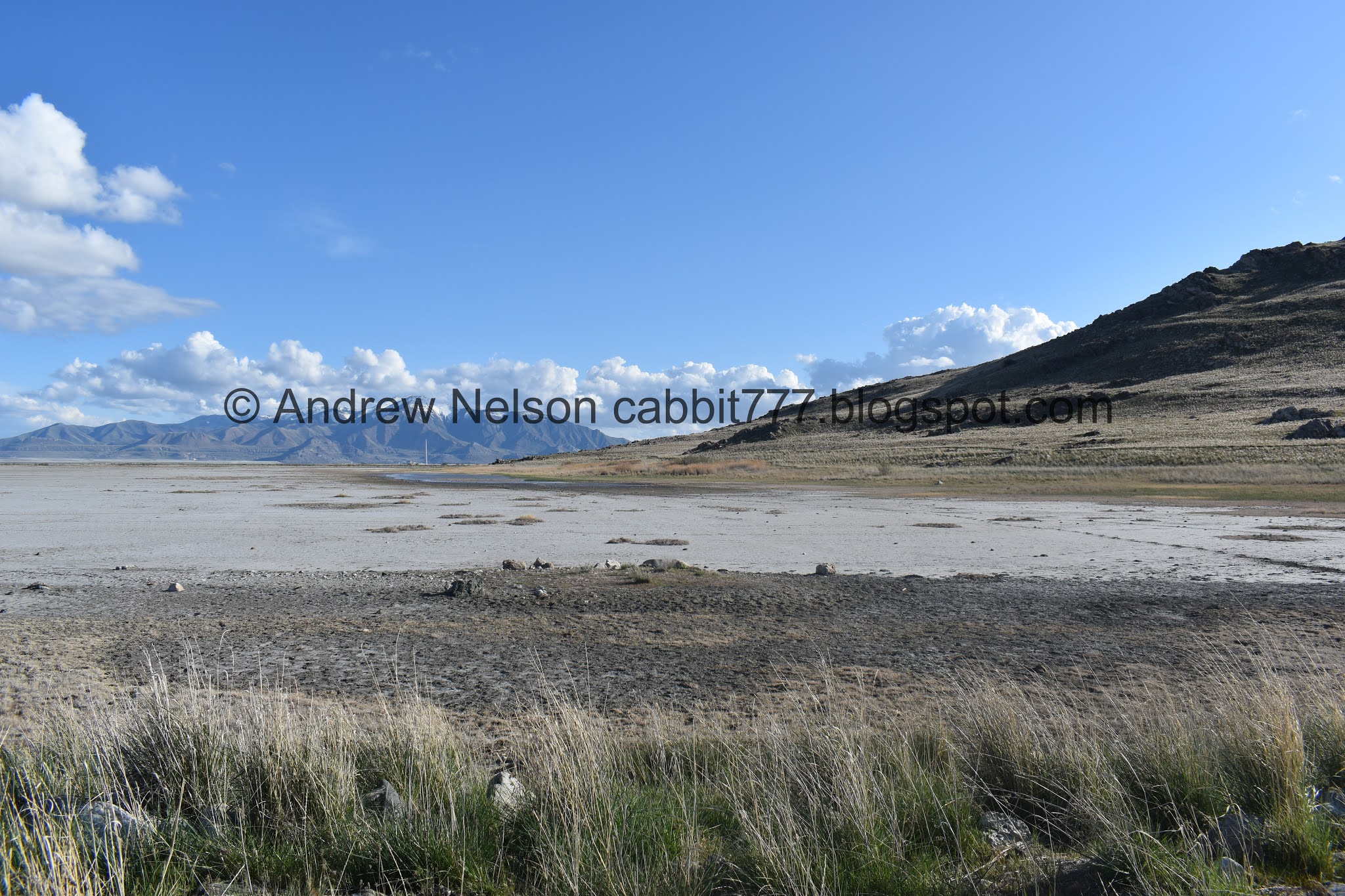
The southern end of the ridge as it slopes down towards the south end of the island.

More of it.

Fun ridge.

I think this is the southernmost peak.

Almost to the end.

Yup, the southernmost peak.
Looking back to the south. You can see the Kennecott Smelter Stack across the way. which is next to The Great Salt Lake State Park (which you can’t really see).

Panoramic.

Fun fluffy clouds.

Downtown SLC.
Okay the biting gnats were driving us crazy so we decided to head on back.


Heading back.

Unicorn Point again.

Fun ridge.

Looking back towards the smelter stack.

Landis almost stepped on this poor guy. Luckily no incident, and it is not a rattler, but I am not familiar enough with snakes to rule out if it is dangerous or not.


I am leaning towards a gopher snake, but I don’t know for sure.

The little hill again.

Rocky hill side.

Fun rocks.

More trail.

More fun rocks.

The unnamed peak again.

Again. we had a few choice names for this particular peak that I will not share here. Yes, we are 12.

Closer.

With some fun rock formations.

Closer still.

The trail again.

The un-named peak again.

A look at the old causeway again.

Back to the parking lot. Closer view of that peak.

Panoramic of the Wasatch Range.

Another little spring.

Since the South Island Trail is so short now, I still had a bit of extra energy so we decided to walk a little ways out onto the causeway. I am not 100% sure if you are allowed to, but there wasn’t a sign saying not to.

The causeway.

This is a cute little bouncy fellow.
Causeway again.

The Smelter Stack again.

Antelope tracks.

Bison tracks.

Causeway.

So, you can only get about 4/10ths of a mile out before you hit this fence. I assumed it was to keep humans from crossing either direction, but actually its to keep the animals on the island, considering the island has been a peninsula for so long. After a couple incidents it was decided a fence should go up in 2019.

The fence goes for as far as the eye can see.

In either direction.

Heading back. Again. In my quest to find why this causeway was abandoned, I learned that during the high lake levels in 1991 caused by the 1983 floods, park rangers used this causeway to get to the island to save money on boat usage because the north causeway was quite damaged.

Smelter stack again. And if you look really closely you can see the tiny dot of an antelope running back towards the island.

The southern tip of the island with an antelope.

Little closer.

The causeway again.

Un-named peak, and some others along the ridge.

Another spring.
Southern tip of the island.

I had left my telephoto lens in the car, so upon returning I located the antelope.

Digital crop.

Another.


While I had the telephoto lens on I went back out to get a better shot of the cute bird I saw. Long billed curlew? If so, that would be a new one for me. Yay!

Downtown.

The Kennecott Smelter Stack again.

Well, we had our fun, it was time to head on back.

Bison (PSP).

Little closer. I was a little concerned that he stopped what he was doing to look at us (that generally means you are too close) but..

Very shortly he returned to doing bison things.

The dirt road (PSP).

Bison chilling in the dry lake bed.

The road and I am pretty sure that is The Sentry above it (PSP).


Ringed neck pheasant. Pretty bird.

The road (PSP). It’s not too bad.

Another bison.

Back to paved roads (PSP).

Little green island in the dry lake bed (PSP). Oh and a couple bison too.

Beacon Knob (PSP).

The lake on this side of the island is essentially the Jordan River making it’s way across the lake bed (PSP). Here is where it starts to fan out.

The opening in the causeway that lets it join the rest of the lake (PSP).

Fun clouds (PSP).

Bison getting a drink (PSP).

Heading back across the causeway (PSP).

Looking back towards the island (PSP).

Sandhill crane.

Actually a pair of them. Yay.
We had an absolutely amazing day for wildlife and birding!
I love that I can now get to the southern tip of the island without a minimum 8 mile trek. Most people drove down the dirt road as far as they could, and then turned back, so we had the trail completely to ourselves, which was awesome. However, the turn-arounders might have been smarter than us as the biting gnats, or no see ums were absolutely horrible! I wonder if there is a period in the fall where the biting gnats are done, and the road is still open. If there is I might come back, otherwise I don’t think I would do this again. 9 out of 10 squirrels, losing 1 for the gnats.

As for difficulty, it is an ls an old dirt road that is mostly flat. DR3.
Dogs are allowed, but must remain on a least that is no longer than 6 feet.

No comments:
Post a Comment