.jpg)
The final section along The Jordan River Parkway was pretty nice. It strays away from the river for much of the way, however it is currently very wild. I say currently because Saratoga Springs and Lehi are both growing very quickly, so it could be developed eventually. Right now though, it is quite lovely. I started from the other direction today because there isn’t really anywhere to park at where I left of last week. This portion will complete the south half of the trail! Which was my goal to do before it got too warm. Come fall I plan to tackle the north half.

Quick Details:
Length: 2.6 Out and back if you stay to the trail. I did about 2.7. If you start at the JRT Trailhead by the Radio Controlled Airplane Park you can shorten that to 1.8 out and back.
Trail Type: Out and back, connector, or a couple balloon options.
Difficulty: DR2. It is paved and relatively flat.
Elevation Gain: About 25 feet.
Restroom: At Inlet Park. And there is a porta potty at Radio Controlled Airplane Park.
Dogs? Yes, Leashed.
Other Info: JRP Mile Markers: 0 or NA, Cities Saratoga Springs, Lehi.
To Get Here:
Take i15 and If coming from the north take 2100 N in Lehi, or if coming from the south, Main Street in Lehi. Then, either way head west to 2300 W. And head south. 2300 W becomes Saratoga Springs Blvd and will curve to the west for a ways, and then back south. Just before it curves south again, you will see the Radio Controlled Airplane Park on the right. Just after it curves back south you will see Inlet Park on the left.
The Trail:

Trailhead sign.

From the parking lot head west towards the river, then north along the trail. You will pass by the boat launch ramp.

2 things here.
1) The sign is a bit confusing as the forward items are to the right. The left item is forward and then to the left. Anyway, go right.
2) Inlet Park has 2 parking lots, one to the north and one to the south. I parked at the south one, but you can shave a bit off if you park at the north one. I was just on a mission to do the whole thing.
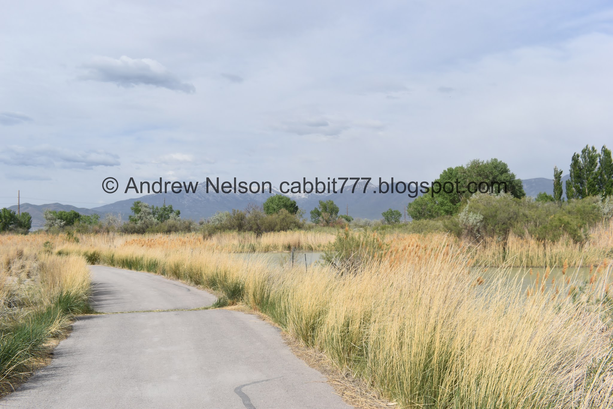
Heading along the parkway.

The river has 2 inlets that combine here at the end of a little island.

Bridge over the river.
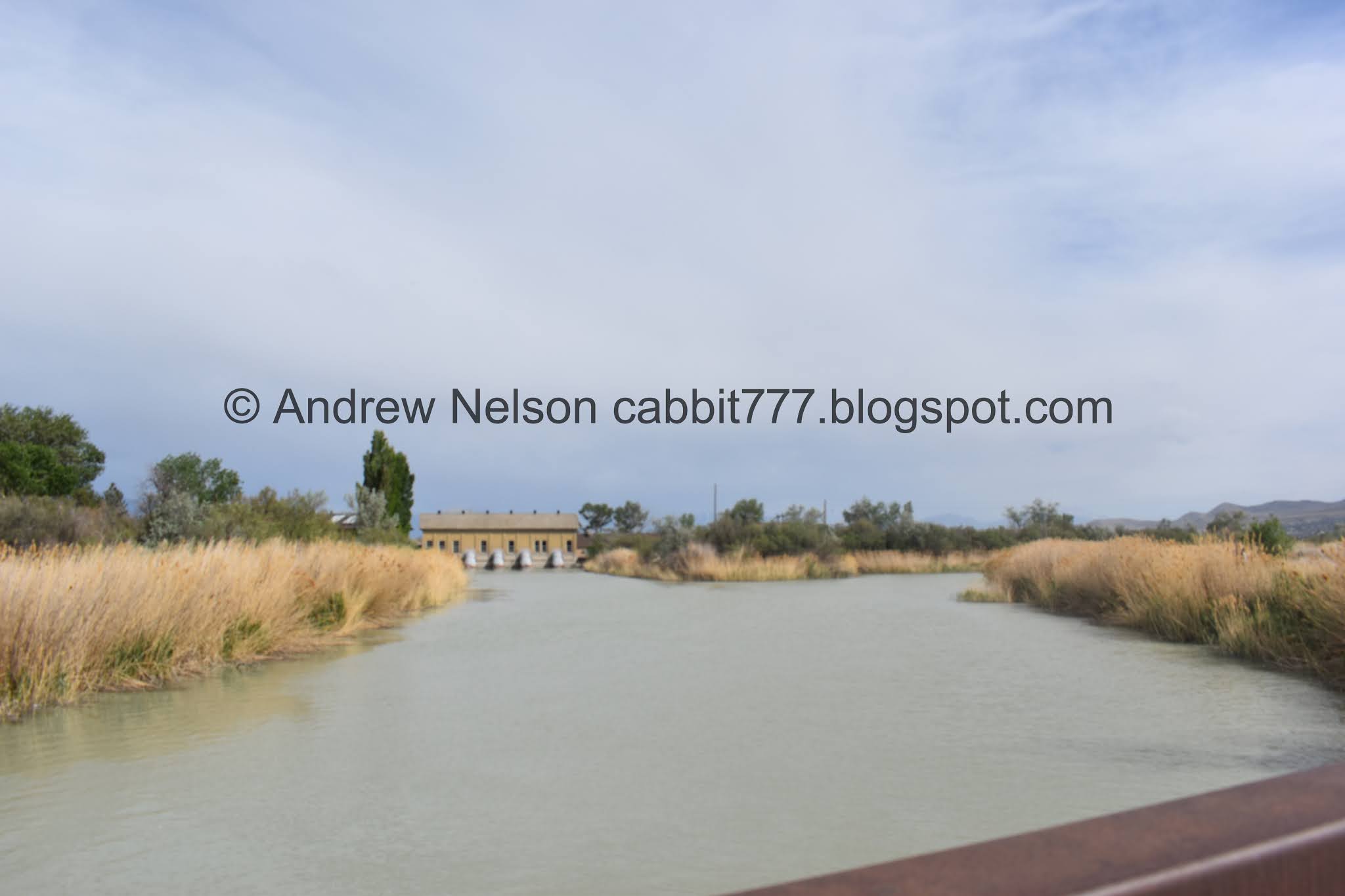
A pump house? Power Plant? Not sure. I think its a pump house.
This is followed by a road crossing that has a button to activate a crossing light. Ladies and gents I need to share what could have been a fatal mistake today. I got to the crossing and had just barely had time to activate the crossing lights when someone stopped at the crossing on the other side of the road (they totally had time to go through before I got there) So I felt compelled to get out of their way quickly and started crossing AS I started to look left. Thank goodness the car coming from that way had started to slow down too or I would not have had a good day today. I consider myself a very safety conscious person normally but today, I let “politeness” almost end me. Don’t do that.

The parking lot on the other side of the road is labeled JRT Trailhead on google maps.

Bend in the river.

I think this is the official beginning of the Jordan River Trail and where the mile markers start from. It seems to align with how far away mile marker 1 is from here.

The Model Airplane Park.

They even have runways to take off from and land on.

The trail.

Lone Peak, Box Elder Peak and Mount Timpanogos.

Big nest.

6/10 of a mile to go.

Crossing into Lehi.


Now the river is back next to the trail.

Bird box.

The river again.

The river veered away again.

The mountains again.

Mount Timpanogos.

Lovely forest.

It looks like there is a side trail that will stay with the river, then connect back to the main trail. I considered taking that on the way back but didn’t.

Random old building. Did someone have a house out here?


Oh. It’s a pump house. I wonder if that phone number still works haha.

Kind of creepy.
I just poked my camera in, feet didn't leave the threshold. Technically might have been trespassing, but I did not enter the building. I understand that a lot of the time, a No Trespassing sign is more for 'this is dangerous and we don't want to be liable' than a 'I just don't want people in here' situation.

The trail again.

Beaver activity?


The river.

Before long I reached Pioneer Crossing.

The tunnel under it.

Crossed through it so I officially hit the point that I left off on last time.

Heading back.

Cliff swallow colony. They appear to all be out at the moment.

On the other side of the bridge. I was wondering why the lower colonies were split the way they are, and then I noticed that is where the cement is joined and there is a little split. So it seems they have a little crack to work with.

I am just fascinated with their nests.
Whelp, time to head on back.

Mount Timpanogos.

Big pile of dirt some developer left to just blow all over the existing neighborhoods. They don't care, gotta put in more houses.

Dirt pile and river.

Riverbend.

Mount Timpanogos again.

Couple of cliff swallows.

Back to the old pump house.

Heading down the trail.

Confirming that side trail does indeed loop back in.

Back to Saratoga Springs.

I was planning to take the western loop around Radio Controlled Airplane Park, but they have it barricaded off. So I assume they don’t want me using that. Oh well.

The trail.

Mountains.

Point of the Mountain.

Back to the Saratoga Springs TH.

Riverbends.

The road crossing. After my earlier fubar, I was a lot more careful this time.

The bridge again.

The 2 inlets.

Where they join.

Back to Inlet Park.

Dam on the river.

There is a bridge you can access on the front… back? of the dam. Its a little sketchy though so I haven’t crossed all the way, even though I do kind of want to explore the island. It just skeeves me out. Completely irrational fear, but yeah.
It does offer a nice view of the inlet.
The paved trail continues for another 2/10ths of a mile-ish, but I consider the south section to be complete at this point.
I have however completed that last section on my way towards something else.
I enjoyed this section, and completing the southern half of the trail was quite rewarding. in and of itself. Again, the river south of the Jordan Narrows appears to be much more wild with the twists and turns, even if that means straying away from it sometimes. Yep, I liked this section. 8 out of 10 squirrels.

As for difficulty, it was paved, and flat. DR2.
Dogs are allowed, but must be leashed. Please clean up after your furry friends.

No comments:
Post a Comment