The section along The Jordan River Parkway between Wildlife Park and Willow Park in Lehi was actually pretty nice. There was a spot in the middle that was near new developments, but otherwise it was pretty wild. It follows the Jordan river for most of the way. You also get to experience the Jordan River as it appears naturally and not modified and straitened by the hand of man. At least that is how it appears.
Quick Details:
Length: 3.8 Miles out and back.
Trail Type: Out and back, connector, point to point, or possible balloon option.
Difficulty: DR2. Completely paved with mild ups and downs.
Elevation Gain: About 26 ft.
Restroom: Yes, at Willow Park.
Dogs? Yes, leashed.
Other Info: Jordan River Parkway Mile Markers: 4. Cities: Lehi
To Get Here:
From the north: Take i15 to the Thanksgiving Point exit. turn right on Triumph Blvd. turn right on 1500 N. Go about 3/4 of a mile and look for the parking lot on the left. It is very narrow, and almost seems like you are driving on the parkway trail for a second. If you cross the river, you went to far.
The Trail:
Trailhead Kiosk.
We were tempted to take a shortcut through the reeds. I am super glad we didn’t because there is a ditch here, that was hidden by the reeds, that we would have stepped right into.
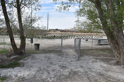
Looking into Wildlife Park. There isn’t a whole lot to it, but it is a nice natural area.
The trail passes next to the neat old Truss Bridge that you can see from the parking lot as well.
Wildlife Park on the left, the river on the right.
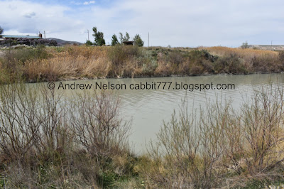
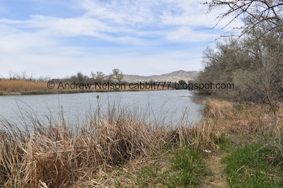
The river is so wide down here.
Wildlife Park.
The river.
Pretty sure this is a red-tailed hawk.
Phragmites.
Dove.
Lovely forested area.
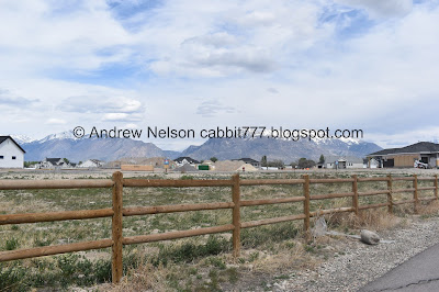
Wildlife Park with Lone Peak, and Box Elder Peak above.
The river with Mount Timpanogos and Cascade Mountain.
More mountains.
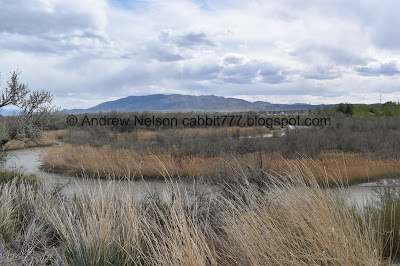
Sharp curves in the river.
Panoramic.
Starting to hit a new development.
Nice view of Mount Timpanogos.
Box Elder Peak and Mount Timpanogos with American Fork Canyon in between.
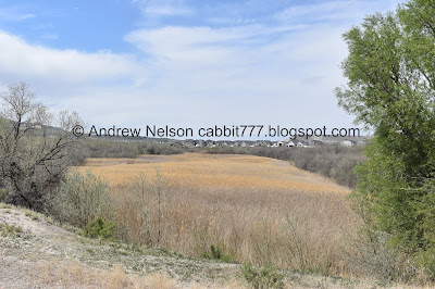
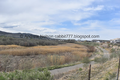
The marsh below.
Mile Marker 4. Wewt, I am so close to finishing the southern half of the trail.
The marsh again.
Back to being close to the river.
Nice forested section.
The Jordan River Reservoir. Actually looks like a nice little pond.
With Mount Timpanogos.
Outflow.
Another nice forested area.
The river again.
Bridge. For a second we wondered if we were supposed to cross or not. Luckily we determined we should keep going on this side. The bridge appears to lead to a neighborhood connector trail.
It’s a looong bridge.
Pidgeons
Lone Peak and Box Elder Peak. Dry Creek in between.
Little side stream. Which looking at google maps is apparently a waste ditch. Ew.
We made it to Willow Park, our intended destination. Ended up being just a smidge short of 1.9 miles, but I guess close enough. So, time to turn around. We have a socially distant Mothers Day event to get to.
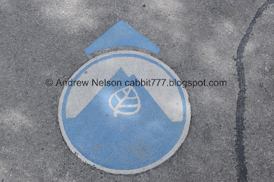
Take a quick peak at the logo at the top of the trail sign.
There are a couple random places that you can find the logo along the trail.
The Willow Park Off Leash Dog Park. Doesn’t appear to be very popular, at least not today.
Looking back towards Willow Park.
Back to the neighborhood connector bridge.
Pretty nice view from here.
Back through the forested area.
Found a little area that let us get a bit closer to the river.
Looking downstream.
Upstream.
Back to the Jordan River Reservoir.
With the cost of lumber lately, I am kind of surprised the builders will just leave a pile of it laying around.
The river again.
Traverse Mountain.
Back to the swampy area.
Back to mile marker 4.
Swampland.
Red-winged black bird.
The swamp below. This is fenced off as private property, and even has an access road, but I can’t see any structures so.. I don’t know exactly what they do with it.
Riverbends.
Riverbends to the northwest.
To the southwest.
The river and the mountains to the west.
It looks like this trail goes along the back side of Wildlife Park, so you can do a balloon if desired. I am sure that will shave off a couple tenths of a mile.
Looking back to the east.
There seems to be another pond on the other side there.
Mount Timpanogos.
Mountain views above the trail.
The old truss bridge again.
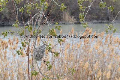
A Bullock’s oriole nest. I really should come back one random summer day to see if I can see one. They are pretty.
The old truss bridge again.
The last leg.
Looking back into Wildlife Park.
The little ditch we are working our way around.
I think this is where the back trail lets out/connects.
Back to 1500 N and the trailhead.
The old bridge again.
Even with the short section along the new development, I actually enjoyed this part of the trail. It was fairly pretty and its nice to see the river bend and twist more. We had some decent birding today, and there weren’t a ton of people. 8 out of 10 squirrels.
As for difficulty, it is completely paved, mostly flat, with only a couple mild hills. DR2.
Dogs are allowed, but must remain leashed.
.jpg)


















No comments:
Post a Comment