.jpg)
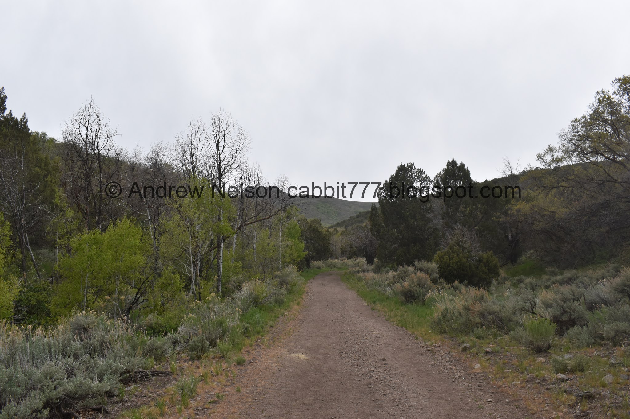
Yellow Fork Canyon is a beautiful canyon located in Herriman. I love almost any trail I do in May and this was absolutely no exception. It is super green right now and the wildflowers are starting to pop. I was in the mood for something a little more mild today and this fit the bill. As always we saw some deer, and today we spotted a wild turkey! It also wasn’t too busy, possibly due to the threat of rain. That was actually why I decided to do this trail today, I thought the chance of being rained on was less out west than on the mountains to the east, and well, that didn’t hold up haha. But we had our emergency ponchos so it wasn’t too terrible. We've done this trail a couple of time before, but never the same way. There are quite a few options.

Quick Details:
Length: We did a 4 mile figure 8 to the upper picnic area.
Trail Type: Loop, figure 8, or out and back.
Difficulty: DR3.
Elevation Gain: About 550 ft.
Restroom: There is a pit toilet at the TH.
Dogs? Yes, leashed. Please clean up after your furry friends!
Other Info: If it is your first time, I recommend downloading the trail map, which can be found on the Salt Lake County Trails page.
To Get Here:
Oh boy. From i15 take exit 289 for Bangerter Highway. Go about 5 miles and turn left on 13400 S. Go about 3 miles and turn left on 6400 W,/Rose Canyon Rd. .6 miles later turn right to stay on Rose Canyon Rd. 1.4 miles later turn left to stay on Rose Canyon Rd. About 2 miles later will be the trailhead parking.
You can cross the bridge and head right, or go a bit to the north and hike up the road.
After doing this trail system a couple times, I would recommend hiking up the road, and down the side trails.

The Kennecott Copper Pit (Passenger Seat Photography (PSP))
The Trail:

The bridge between parking lots. Yellow Fork Canyon will be to the right, and Rose Canyon is to the left. Or you can go just a bit further to the right and go up the road.
PS: If you want super easy, go up the road, and down the trails.

Area map.

Rose Creek.

Yellow Fork Creek.
When the creeks join just below here, they become Rose Creek. I find it interesting that the smaller creek kept the name after they combine, and it makes me wonder what series of events lead to that being the case.
Could be as simple as it was named by one person before they explored higher up, and named by another person who did. Or, Landis postured that maybe Rose Creek just sounded better for what to name the neighborhoods below.


Waterleaf.

Forget me nots.

Beautiful green forest! I love hiking in May.

Not sure what these are but they are quite fragrant.

The creek in a fairly deep gully.

Closed off old trail. You can see it is eroding away, so best not to use it, and use the new trail to the left.


Pretty forest.

Another pretty flower.

Random structure.

Creek below.

Entering the big clearing.

More pretty forest.


The creek again.


Forest.


Flowers.

Carpet of some white flowers on the other side of the canyon.

The main Yellow Fork Canyon is to the right. To the left leads to Big Rock Trail. That trail was quite pretty, and I was tempted to go that route today, but I wanted to hit the upper picnic area again today, so we went right.

Split off for Big Rock.

This looks like pepper weed.

At about a half mile up you will hit the lower picnic area/trail split.

The creek is suddenly not in a deep gully. I’ve been meaning to check and see if there is a waterfall.

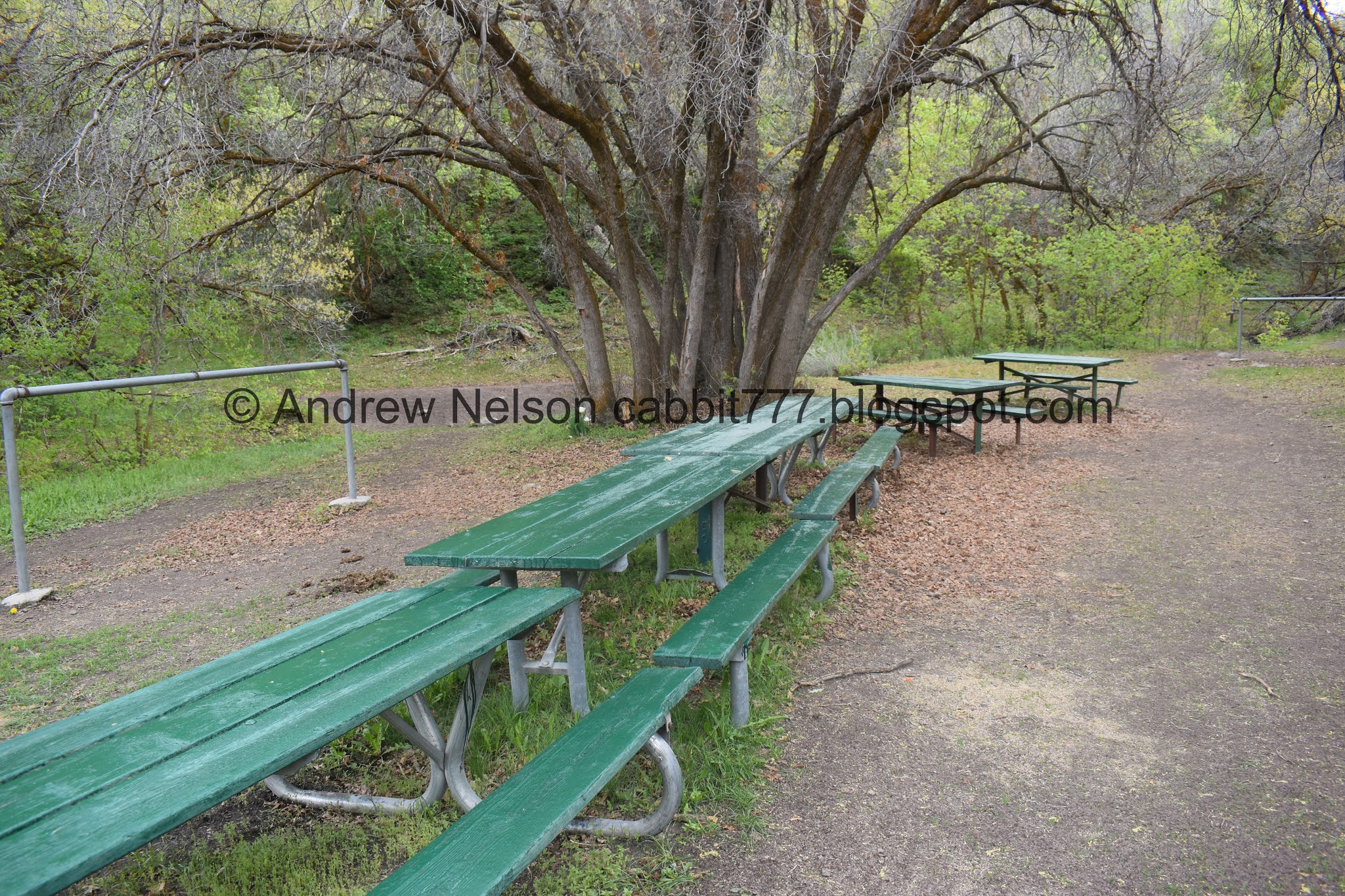
More of the picnic area.

The creek again.

We decided to switch over to the road.

Creek again.

Looking up canyon.

Phlox.

Forget me nots.

Storm clouds.

The road crosses the creek, and there is a picnic table here.

Hrm. This is new. Looks like Salt Lake County has added some way markers. Finally! We decided to stay on the road.

The creek again.

Little less green up here but still lovely.

Fun trees.

Forest.

The much smaller, upper clearing.

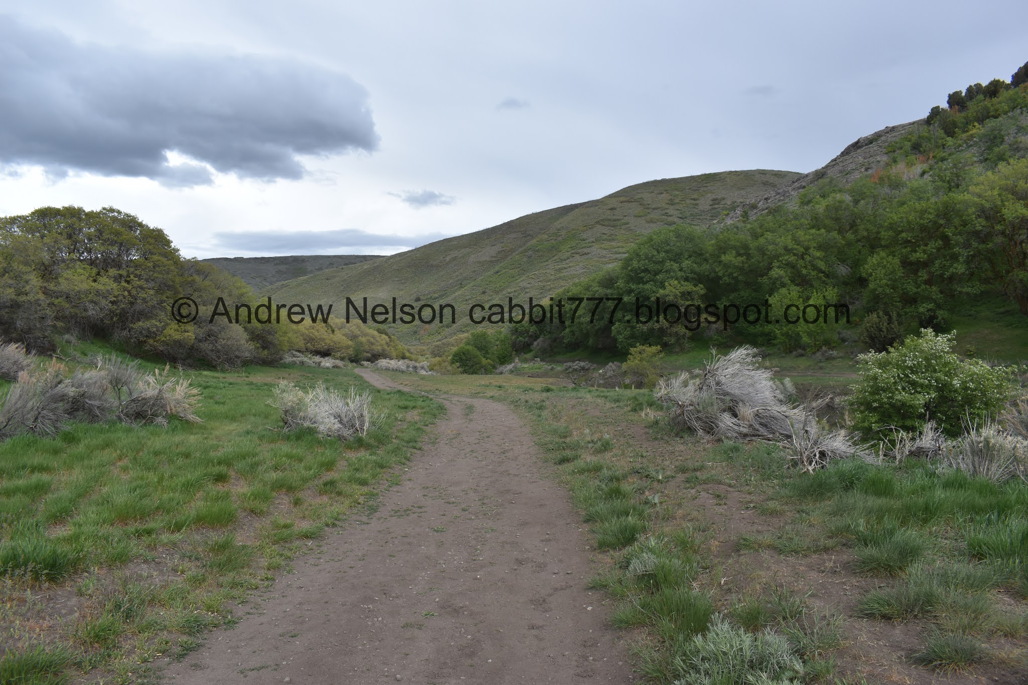
The hills above.


Aspens.

Looking up canyon.

Forest.
View up canyon.

Another one of the new signs.

At about 1.5 miles you will reach the middle picnic area.

The creek.

Greening up.

Continuing up the road.

This is just above the picnic area. I guess if you take the road exclusively that would be the mileage.

Flowering clover.


Super pretty.
We did get rained on a bit, it was mostly light sprinkles.

Forest.

Crossing the creek again.

Eventually it became full on rain so we decided to put the ponchos on… just in time for the skies to decide to settle down haha.

Continuing up.

Final creek crossing before the destination of the day.

The creek seems to come from the canyon to the south. If the northern creek flows, they would join here.

The dryer canyon.

We made it to the upper picnic area. Phew! This is just about 2 miles up.
And thank goodness the rain appears to have stopped all together.

Forest.

The Yellow Fork Trail continues up through here. Looking at the map it appears it would be about another half mile, give or take up to the Bonneville Shoreline Trail/Yellow Fork Loop.
More picnic area.
You can see the south end of Mount Timpanogos from the picnic area. You can also see Lone Peak when the trees are bare in winter.

Random tulips.

The creek again.

This trail will head to Big Rock. I tried doing this from the other direction and missed a turn somewhere. Maybe one day we will try it again.

We decided to head down via the trail.

Lovely blue skies! I am glad we didn’t let a little bit of rain chase us off today. We paid attention to see if there was lightning, and there wasn’t any while it was raining so we were good.

Pretty forest.

The creek again.


More pretty forest.

Flower carpeted forest.

Just lovely.

Little tree arch.

Lovely trail.

Looking up.

The creek. The trail and road cross here and switch sides.

Another one of the new signs. You can still see the paint where they planned to put it.

Another little tree arch.

Trees that haven’t greened up yet.


The creek.

The seed pods on sage look weird. At least I think they are seed pods.

Back to the middle picnic area.
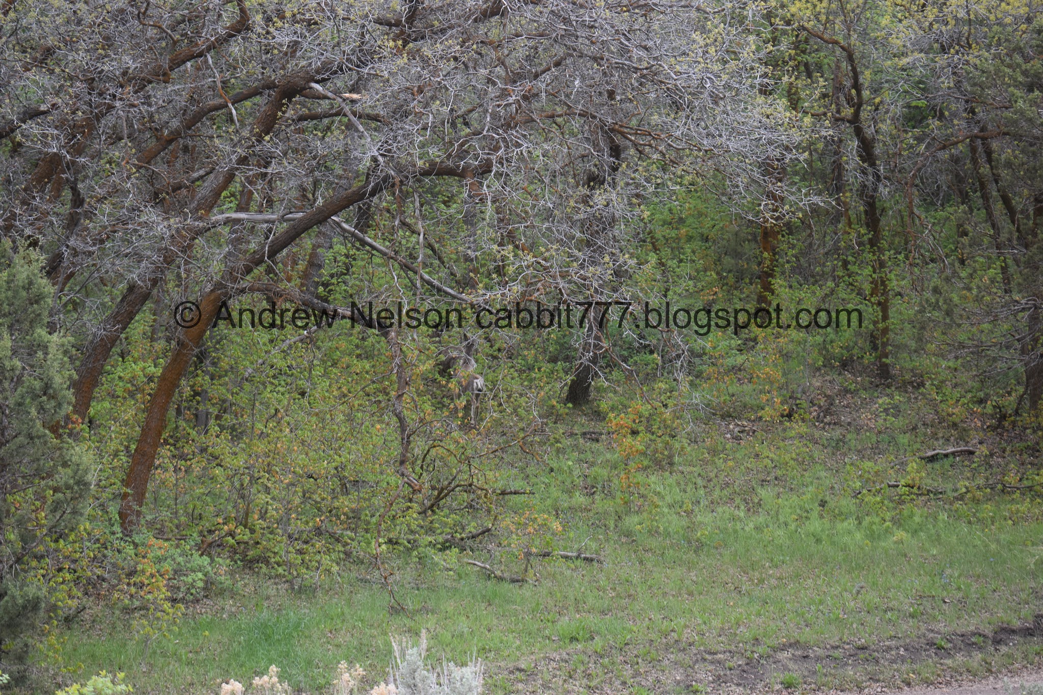
We were just talking about the fact that we hadn’t seen any deer yet, because we ALWAYS see deer in this canyon. Then a couple minutes later, here we are.

You can just see one of them looking back at us through the trees.

The creek.
Again, the trail and the road swap sides of the creek here.

Forest. I’m not sure where the split to the right takes you.

But it looks like they plan to put a sign in soon.

Creek.

More clover.


Forest.

Woodpecker. I am pretty sure it is a hairy woodpecker.

Oh, I did get a shot of it with the telephoto. Yep, see how long the beak is? Almost as long as his head would indicate a hairy woodpecker. Downy woodpeckers have tiny beaks.


Flowers.

Little clearing.

Forget me nots.

Across the canyon.

More forest.

Aspens.

The upper clearing.

Flowers and creek.


The lower we go, the more green it gets.

More of the sage seed pods.

Wild rosemary.

Another random structure.

More forest.

The creek.

Going to swap creek sides with the road again.

Lone picnic table here.

Forest.

Creek.

Itty bitty waterfall.

I just love spring.

Hounds tongue.

Neat split rock.

More flowers.

Trail and road with the creek in between.

I couldn’t decided which trail to take for a moment. usually when that happens I take the wider, more used trail. For some reason I decided to take the smaller one to the left today. It didn’t really matter cause like… 30 feet down it connects to the road as well.

More flowers.

Other side of the canyon.

Back down to the lower picnic area.

The creek, back in its little canyon.

We took the trail up to the lower picnic area, so we took the road down. Kind of an odd loop we did today but eh.

A whole carpet of flowers.
Continuing down.

Looking back up canyon.

Cliffs across the canyon.

Looks like there is a little ephemeral (seasonal, or when it precipitates) waterfall here.

More flowers.

Well, this is tacky. Please don’t drag couches up into our wild spaces. You know someone invented portable, collapsible, easy to carry chairs. And they aren’t expensive.

Back down to the gate.

I have only been visiting Yellow Fork Canyon for a few years now, but it has been closed to off-road vehicles for all that time. Then again, I don’t typically visit in the summer.

Clouds above.

Where Rose Creek and Yellow Fork Creek meet, and continue down as Rose Creek.

Down canyon, with moody clouds.

Again.

This horn again.

More moody clouds.


I saw in some reviews of this trail that there are wild turkeys, and was thrilled today to see my first one here. Gobble gobble!

The neat horn again (PSP).


Storms over the mountains (PSP).
This was almost the perfect hike today! I wanted something green and pretty, but a little on the easier side, and this definitely filled the bill. We got rained on a bit, but it wasn’t horrible, and we were prepared for it. Plus, that scared off a lot of people, so it was not terribly busy today. We saw some wildlife, and just generally had a wonderful stroll. 9 out of 10 squirrels today.

As for difficulty, it is a mild climb. DR3.
Dogs are allowed, but must be leashed.

No comments:
Post a Comment