.jpg)
We did a quick camping trip up in the Uinta’s. I decided to make these 2 quick stops along the highway their own post. They are both way to short to warrant a separate post for each of them.


Duchesne Tunnel
Quick Details:
Length: I didn’t measure but it only like ~100 feet.
Trail Type: Out and back.
Difficulty: DR1. Short walk, but basically get out and look.
Elevation Gain: Maybe ~20 feet.
Restroom: No, but there are likely some in the nearby campground.
Dogs? Yes, leashed.
Other Info:
To Get Here:
It is at mile 17.8, just before the Duchesne Campground turn off (if coming from Kamas). On the right hand side.
The Trail:
This is pretty dumb, I saw one of the campgrounds is called Duchesne Tunnel, so that made me curious since campgrounds and picnic areas are typically named after a particular feature. So, I did some digging and decided that the Duchesne Tunnel sounded interesting. Well, we did the entire loop around the Duchesne Tunnel Campground and just could not find it. We stopped at a map near the entrance of the campground, which was not at all helpful either. Then Landis noticed a little path just to the left. So, we left the campground and went back downhill just a smidge and found it. Yay!

The information plaque.
“Duchene Tunnel
1940-42 1949-52
Length 6 miles
Capacity 600 cubic feet per second
United States
Department of the Interior
Secretaries
Harold L. Ickes Oscar L. Chapman
Bureau of Reclamation
Commissioners
John C Page Michael w Straus
Chief Engineers
S. O. Harper L.N. McClellan
Regional Director E.O. Larson
Project Engineer L.R. Dunkley
Contractors
Utah Construction Company
Rhodes brothers and Shofner
Sponsoring Agency
Provo River Water Users Association”
Well, that is a lot of information that doesn’t really tell you what is here. But, we’ll get to that.

The short path down is paved, but a little narrow.
I suspected this might be where the tunnel was, but we couldn’t see much and the path continued a little further.

“Water
”Lifeblood of the land”
The Duchesne Tunnel is six miles in
Length and flows water from the Duchesne
River, a tributary of the Colorado River
Drainage, to the Provo River, a drainage
of the Great Basin, which flows into Great
Salt Lake. Water from here is important
to the economic development of Central
Utah.
Wasatch National Forest”
So basically the tunnel pretty much stole water from Colorado, and diverted it to Utah.
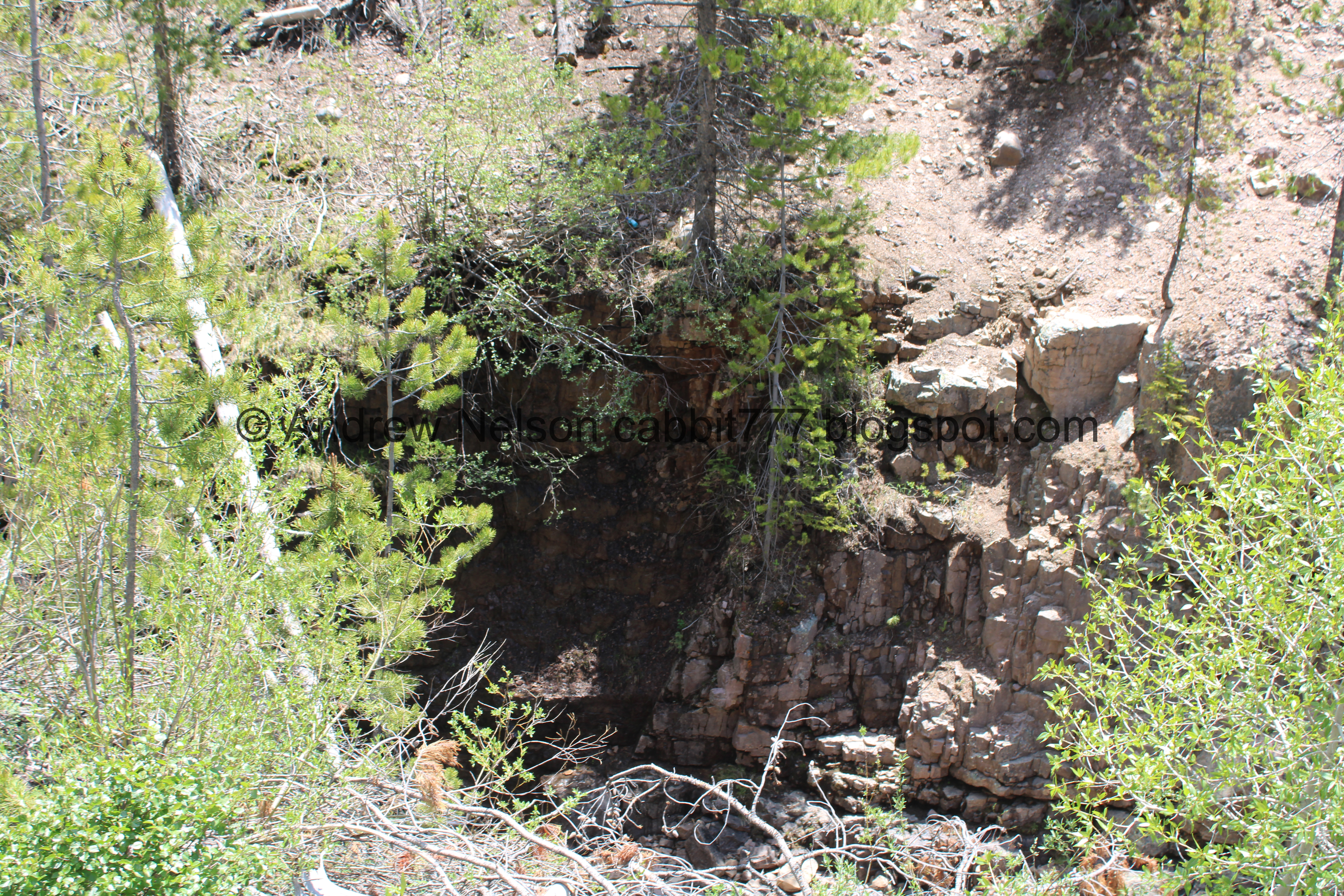
From the few articles I can find, supposedly the tunnel is so straight that you can see all the way through it! Unfortunately, you can’t really get to it to do so.

We might just have bad luck, as there is a tree that has fallen across the path. We did manage to scramble under it…

Diverted water below.

Down canyon.
But, we can’t see anything towards the tunnel.

Back under the tree, still not much.

We can just make out another plaque on the end of the tunnel that appears to have the date of 1952.
Yeah, this was a little disappointing.

Pretty flowering tree.
Well, other than some interesting historical facts this was kind of a dud, and wasn’t worth the effort we put into finding it. But, hey we saw something new today. 2 out 10 squirrels.
The Provo River Overlook.
On the way home we decided to check out the Provo River Overlook. Which we have done before, but I thought it might be cool with the river gushing the way it is now. This super short trail is something like a ~250 feet loop.
Quick Details:
Length: About ~250 foot loop.
Trail Type: Loop, or out and back.
Difficulty: DR1. Just a little bit of walking but pretty much get out and look.
Elevation Gain: ~15 feet or so.
Restroom: Yes, there is a vault toilet on site.
Dogs? Yes, leashed.
Other Info:
To Get Here:
This is at mile 12.6 So after mile marker 12 look for it on the right if coming from Kamas.
The Trail:

There is a super short trail out to it.

The forest below.

View of the Provo River. It is quite the view!

Closer.
.jpg)
Quick panoramic.

The view downstream.

Upstream again.
The overlook, is just what it claims to be, an overlook. There is a picnic table here too if you want to stop and have a picnic, but otherwise, it is just a very nice view. But, hey it is worth checking out. 8 out of 10 squirrels.
As for difficulty, both trails are DR1. Pretty much get out and see, with just a little bit of walking.
Dogs are allowed, but should remain leashed at all times.

No comments:
Post a Comment