Lake Mary is a beautiful high alpine reservoir located at the top of Big Cottonwood Canyon. The trail features wildflowers, beautiful forest, a creek and of course a stunning lake. Also, if you want to keep going you can continue up to Lake Martha and Lake Catherine, which are both also very pretty.
We are in the middle of our 2nd heat wave with temperature in the low 100’s right now, so I wanted to get up and out of it. We tend to do this trail at least once each year, but it is pretty.
Quick Details:
Length: The sign says it is only a mile, but it is closer to 1.2 miles to Lake Mary so 2.4 out and back, plus whatever exploring you do.
Trail Type: Out and back, longer loop options.
Difficulty: This is a whole lot of UP. DR4.
Elevation Gain: About 800 feet.
Restroom: Yes there are flush toilets at Brighton.
Dogs? No. Big Cottonwood Canyon is watershed.
Other Info:
To Get Here:
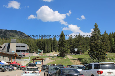
Drive to the very top of Big Cottonwood Canyon, take the one way loop road to the large Brighton parking lot. The trail is next to the large Brighton map, to the right of the main building at the SE corner.
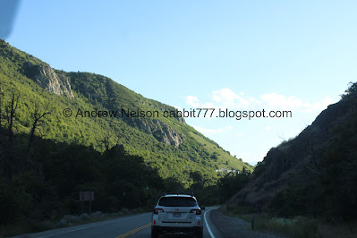
Heading up Big Cottonwood Canyon (Passenger Seat Photography (PSP)).
Through the blasted boulder (PSP).
Continuing up (PSP).
Mill D South (PSP).
Getting close to the top (PSP).
The cirque above Brighton (PSP).
Mount Millicent looms above as we enter Brighton (PSP).
Mount Millicent again.
The trail above.
The Trail:
As I mentioned, the trail is behind the big Brighton map.
The trailhead kiosk is just a little ways up.
Already starting to see some snow.
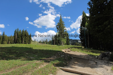
The hill of DOOM. Oi. This is quite the climb.
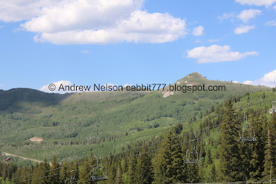
Ski lift. Looks like it is the Majesto.
Little bit of forest.
Mount Millicent.
Glacier Lilies.
Looking back towards Scott Hill. This one is easy to identify with the Mickey Mouse shaped mine tailings on it.
Blue bells.
More glacier lilies.
Some corn lilies that haven’t bloomed yet.
Glacier lily.
I call this Dinosaur Rock, cause it looks like a dinosaur with a mouth full of plants.
Mount Millicent again.
There has been some trail damage with the run off this year.
Short break from the relentless climb.
Itty bitty yellow flowers.
A bigger yellow flower.
Another patch of snow.
Now we just have to climb up and around that big boulder before the next break in the climb.
More snow.
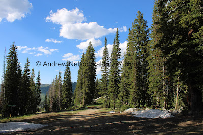
Forest.
More glacier lilies.
The big boulder. It is a good 20 degrees cooler up here, but it is still warm, so we were taking advantage of any shady area we came across.
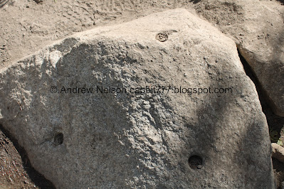
Rock with drilled holes. Normally I would think this would be a sign of possible quarrying like on the Temple Quarry Trail however here I think it might have been an old ski lift.
Mountains and forest.
As I mentioned, a little break from the climb for a minute.
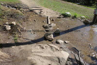
This is a new stream crossing.
This one I am used to, however it is a little wider than normal.
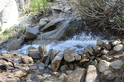
Small waterfalls.
Hitting a lot more snow. Oh boy. I anticipated seeing some snow up here, but this is a little bit more than I expected!
Oh boy.
Lots of snow.
More that we have to traverse through.
Rocky climb.
Itty bitty flowers.
Scott Hill again.
More forest.
Oh boy. I did not particularly care for this snow patch as it is above a steep drop off. However, we made it without incident.
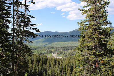
The Brighton valley below.
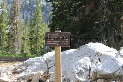
The trail split.
Closer look at the sign.
Looking down at Brighton again.
Big Cottonwood Creek. Fun Fact, The Brighton Lakes; Lake Catherine, Lake Mary, Twin Lakes, and Lake Solitude are the headwaters of Big Cottonwood Creek.
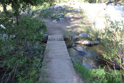
The bridge.
Nice clear water.
Downstream.
I really love this old dead tree. It’s just the perfect amount of spooky.
More snow.
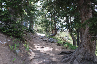
More rocky climb.
More snow.
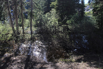
The creek coming out of a snowbank.
Little spillway. This is a good sign you are almost there.
Followed by the obvious sign you are almost there, the Lake Mary Dam.
More rocky trail.
The dam again. BTW, this section is a lot more thin later in the year.
Water coming down the trail draining into this hole. I am sure it comes out somewhere, but I don’t know where that is.
Outflow pouring down.
Outflow from the dam. It is gushing a little more than I am used too.
Looking back on it.
View across the way.
More rocky and wet trail.
The final push.
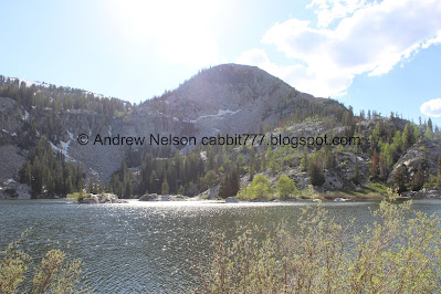
First glimpse of the lake.
General reminder: There is no swimming in it, as it is watershed.
With Mount Millicent.
Quick panoramic.
A pair of chipmunks chasing each other.
The lake with Mount Millicent.
Little granite islands.
Mount Tuscarora.
Panoramic.
The back end of the lake with Sunset Peak and Mount Tuscarora. Fun fact; before the Lake Mary Dam this part back here (at a much lower level) was originally Lake Phoebe.
Panoramic.
Looking towards the front.
A bunch of little fish.
The back of the lake again.
Panoramic of the entire like, which kind of distorts the actual view a little bit.
Mount Tuscarora and Mount Millicent.
Another panoramic.
Mount Millicent again.
The little islands again.
A chipmunk that found a snack.
Again.
Looking towards the back.
Towards the front.
One last panoramic.
Chipmunk friend again.
Well, we had our fun, time to head on back.
Weird cement structure.
Heading down the hill.
Water running down the trail.
The view down.
Continuing along the dam.
The spillway.
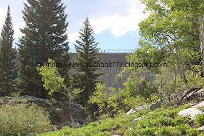
The dam. No overflow waterfall today.
The dam again.
Down to the little spillway.
Down the rocky trail.
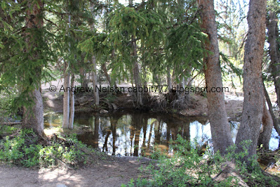
The creek again.
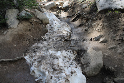
Snowmelt running down the trail.
Snake! I feel like we have been seeing snakes a little more often than usual this year.
A pair of dead trees.
I particularly like this one.
Itty bitty white flowers.
Trees in a crack in the rock.
Back to the creek crossing.
Down to the trail split. We decided to do the short detour out to Dog Lake. Not to be confused with the other nearby Dog Lake.
Pretty forest.
The creek crossing looks a little dodgy with the creek as high as it is. We could probably still do it if we really wanted to, however, there is a trail back on this side, and well we decided not to get our feet much more wet, so we decided to go that way.
More snow.
Before long we can start to see the lake.
Pot gut squirrel.
The lake again.
The lake and I believe that is Pioneer Peak behind it.
Panoramic.
The lake again.
Little closer.
Another pot gut.
One last look before we head back.
The creek again.
Back to the main trail and the view.
Big snow pile.
The view again.
Scott Hill.
Silver Lake below.
Continuing down.
Lots of snow.
More piles we have to climb over.
Then we get a break from it for a bit.
Found a bunch of flowers.
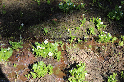
I believe these are marsh marigolds.
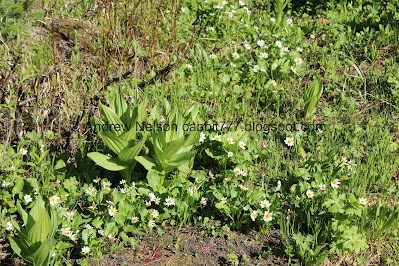
With some corn lilies.
A little side creek.
Where it crosses the trail.
Glacier lilies.
Another side creek, or likely just overflow of the other one.
Little pond above it.
The trail from the big boulder.
Silver Lake below again.
Glacier lily.
Corn lilies.
Another glacier lily.
Another.
I think this is remnants of an old ski lift.
Cute little snowboard benches.
More old ski lift remnants.
There is a disc golf course up here.
Water damage.
Scott Hill again.
Back down to what I call Dinosaur Rock.
Little white flowers.
Bluebells.
Mount Millicent.
Forest.
Another pot gut.
Another one, getting it’s nom on.
Nearing the trailhead.
There is a yurt up here.
The other side of the big map.
The stream coming out of Twin Lakes near the other side of the parking lot.
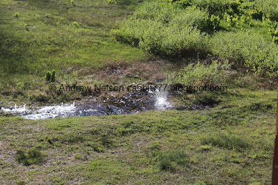
The creek goes into a series of pipes, that appears too small for the amount of water right now so it bubbles and splashes up like little geysers.
It’s kind of fun actually.
More.
Coming down the hillside.
Heading downstream.
Brighton.
Heading back down the canyon (PSP). Scott Hill as we leave Brighton.
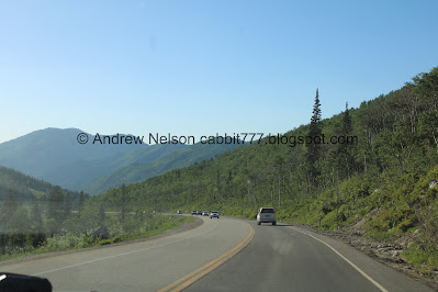
Continuing down (PSP). It is so pretty up here.
Near Mill D (PSP).
Storm Mountain (PSP).
Nearing the mouth of the canyon (PSP). There is still some construction at the mouth of the canyon, but they have reopened all 3 lanes exiting it so, no 4 miles of slow moving traffic this time.
On to Wasatch Blvd. (PSP). With a view of Antelope Island across the hazy valley.
We decided to have dinner at the Hog Wallow.
The Old Mill (PSP). There has been some talk of tearing this down and putting up townhouses. I really hope that does not happen. By The way, you can get up close to this on the Big Cottonwood Canyon Trail.
The other side on our way home from dinner (PSP).
Fun sun rays nearing sunset (PSP).
That was a tough climb today, but it was worth it in the end! Lake Mary is super pretty. It was still a little warmer up there than I would have preferred, but much better than down in the valley. It was a little busy, but not too bad. 9 out of 10 squirrels today.
As for difficulty, it might have been due to the haze in the air, but this really kicked our butts today. There are long sections of strait climbing. DR4.
Dogs are not allowed due to watershed restrictions.
.jpg)






















.jpg)


.jpg)


.jpg)

.jpg)


.jpg)




.jpg)














No comments:
Post a Comment