.jpg)
Donut Falls is an amazing unique waterfall in Big Cottonwood Canyon. The trail features a nice creek, beautiful forests, wildflowers, and of course a nice waterfall. This is one of our favorite hikes that we tend to do fairly often, even if we might be getting too old to scramble up to the neat cave at the top. This is a very popular trail, and the upper trailhead parking lot fills up quickly. Luckily the lower trail reroute only adds about 9/10 of a mile extra (each way). Pay attention to the signs at the upper lot. Rangers are very quick to ticket people who park outside of the appropriate areas. We watched a ranger ticket about 10 cars today.

Quick Details:
Length: The alternate route is about 7/10ths of a mile from the upper trailhead so about 1.4, plus whatever exploring you do. The main route currently has a bridge out but seriously, it is about the same distance and better to avoid the hazard.
Trail Type: Out and back.
Difficulty: DR3. It is a bit of a climb, but not too bad. If you decide to scramble up to the cave, I would bump that up to a DR5. However, I wouldn’t recommend that until the water slows a bit.
Elevation Gain: About 350 feet.
Restroom: Yes, there are vault toilets at the upper trailhead, and flush toilets at the lower.
Dogs? No. Big Cottonwood Canyon is watershed.
Other Info:
To Get Here:
Drive approximately 9 miles up Big Cottonwood Canyon to Mill D South, which will be on the right side of the road. Drive up Mill D South Road, it will eventually turn to a dirt road. Park at the end, but again, pay attention to signage! Honestly I would rather hike an extra 9/10th of a mile than get a ticket for parking outside of approved areas.
I was 99.99% certain the spot we found was in the approved area, but I still got out and looked at the signs before we started hiking just to be extra sure.

Approaching Storm Mountain (Passenger Seat Photography (PSP)).

Just before the big S curve (PSP).

Heading up the canyon (PSP).
I totally last minute decided that we should check out the upper trailhead parking lot. Worst case scenario, we have to come back down. We watched a ranger ticketing cars in non parking areas, but we managed to find a spot in an approved area. Like I said, I would rather add 9/10ths of a mile (each way) than pay a fine. But, some people appear to need to learn that the hard way.
The Trail:


Here is a good example of why you you take a moment to review the trailhead kiosk. There is a notice that the bridge is out about a half mile up, and they recommend you to use the alternate route.

The alternate route is well signed.

Mill D South has really fanned out here.
.jpg)
Panoramic.

Downstream.

Gate. There are a couple of private properties above here, so the old road is private to cars, but public to people.

Just beyond the gate is the big switchback.


Pretty mixed forest.


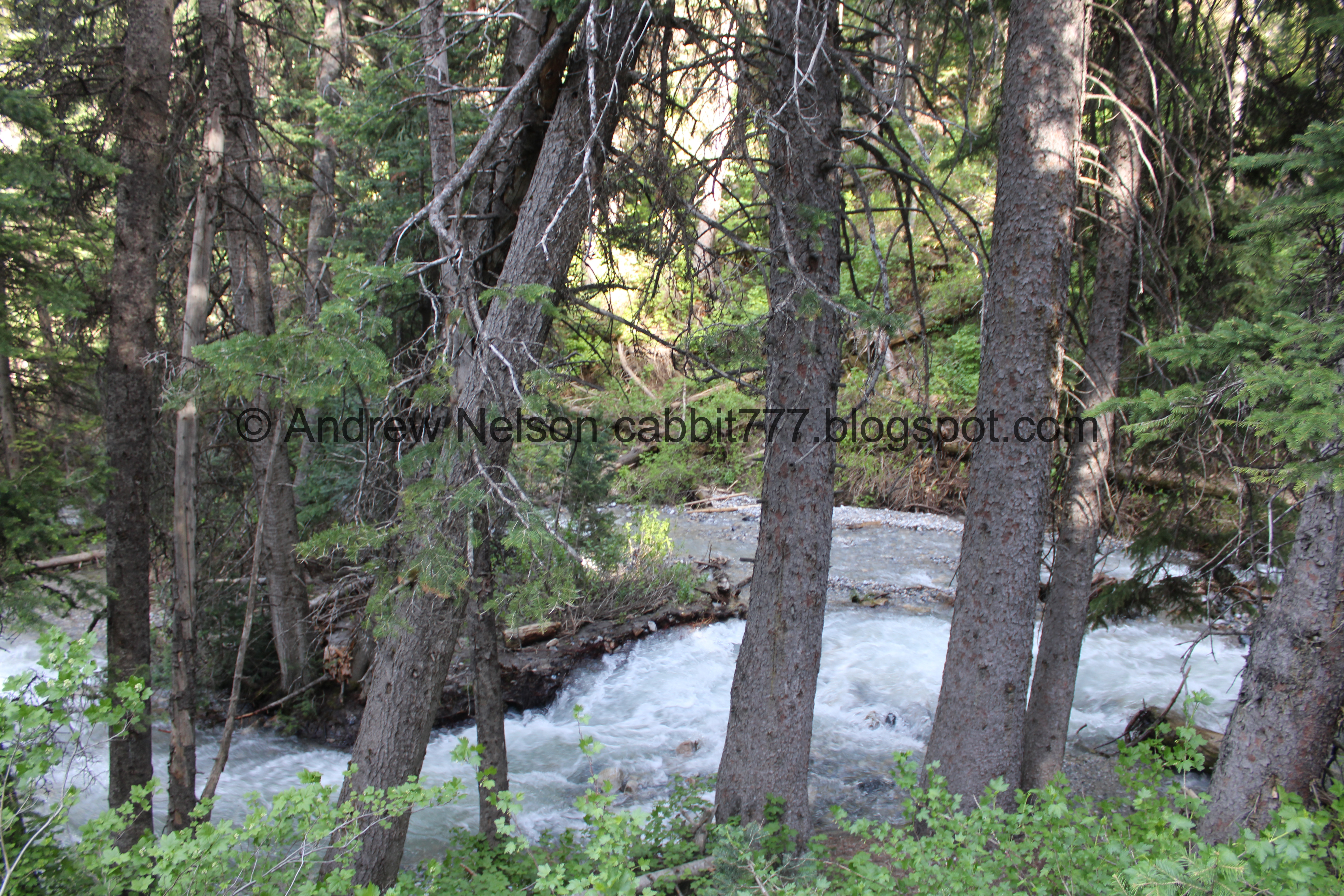
The creek below.

Entering the narrow gully.

With the gushing creek.

Some geraniums.

Continuing up.

Big fallen tree.

The narrow gully again.

Large slanted tree.

The creek again.

Looking back down.

Some cascades.

Trail damage.

Here the creek is actively eroding the trail away.

The gully again.

Then it opens up some.

I love the rocks polished by years of tons of hikers.

A small clearing where the main trail connects to the old road/detour trail.

The bridge that is currently out. As you can see it isn’t even over the creek right now.

More forest.

Blue bells.

Hitting some aspens.

More blue bells.

Kessler Peak.

An adorable little potgut.

Avalanche scar on Reed and Benson Ridge.

Cliffs further down the ridge.
.jpg)
The boulder you have to shimmy down to get into the gully. It’s not too bad and there is usually a rope to help.

The narrow gully.

Donut Falls. Wow, it is super gushing! I don’t think I have ever seen it gushing this much. Anyway, you can see the top tier flowing into the hole in the rock, and coming back out underneath, that is the donut.

With the creek below.

Closer view again. There aren’t any people scrambling up to it right now. Which is good, cause that water is high right now.

Digital crop of the donut part.

Portrait.

More of the creek. We decided we didn’t want to have soaked feet, so we opted to not get any closer today.

The waterfall again.

Some people making their way up to it.

More people at the base.

The creek again.

The waterfall again.

There are still a few patches of snow.

The waterfall again.
Alright, we had our fun, time to head on back.

Looking down the narrow gully.

The creek again.

Again.

Back to the forest.

Chipmunk!

More forest.

Where the main trail splits off.

We made a small detour to see the old decommissioned bridge. I wonder how long it will be before they replace it.

Entering the narrow gully again.

The creek again.

The trail being eroded away again.

The gully again.

The tall leaning tree again.

More gully.

Looking back up.

Fallen tree with a large boulder caught in it’s roots.

The gully.
The creek again.


Forest.

A boulder caught in tree roots.

The switchback.

Nearing the trailhead, where the creek fans out.
.jpg)
Panoramic.

Downstream.

Upstream.

Back down to the parking lot.

Carved up aspen.

Ticketed cars that are outside the approved parking areas (PSP). I just don’t get it, it is only n extra 9/10 of a mile from the lower lot, is it really worth the risk to avoid that little bit of extra?

Continuing down the road (PSP).

Down to the paved section (PSP).
Afterwards we joined our friends who were camping at Jordan Pines for the rest of the evening before heading home. FYI: there are a few options to hike up here from that campground.
As always that was a fun hike! I am glad we did it again, even if it is a little busy, and the creek was too high to get much closer today. It really is just a pretty trail to a neat, unique waterfall. 9 out of 10 squirrels today.
As for difficulty, most of the trail is super easy, DR3. However, the scramble up to the cave would bump this up to a DR5.
Dogs are not allowed due watershed restrictions.

No comments:
Post a Comment