.jpg)
The Albion Meadows above Alta is one of the best places to see wildflowers during wildflower season. It features, well, wildflowers, and an amazing basin surrounded by stunning high peaks. We’re a little bit past prime wildflower season, but there were still quite a few to enjoy along the way. This was so not what I had planned today, but after deciding I didn’t like the Snake Pit trail, this was a good alternate idea. We tend to come up here at least once each year, sometimes more often than that haha.

Quick Details:
Length: About 2.14 mile lollypop.
Trail Type: Lollypop, out and back option.
Difficulty: Eh, it is a bit of a climb. DR4.
Elevation Gain: About 600 feet.
Restroom: Yes, there are flush toilets at the Albion Base.
Dogs? No. Little Cottonwood Canyon is watershed.
Other Info:
To Get Here:
Drive to near the top of Little Cottonwood Canyon. Turn right at the 2nd entrance for Alta called Albion Base. The trail goes down from between the Albion Day Lodge and the Alta Ski School.

The end of summer sunflowers lining both sides of the canyon road (Passenger Seat Photography (PSP)).

One tree getting a jump on the autumn change (PSP).

Once again, Snowbird is just nuts during Octoberfest (PSP).


I never really noticed just how many mine tailings there are on the mountain up here. Holy crap.

Zoomed out.
The Trail:

Trailhead kiosk.
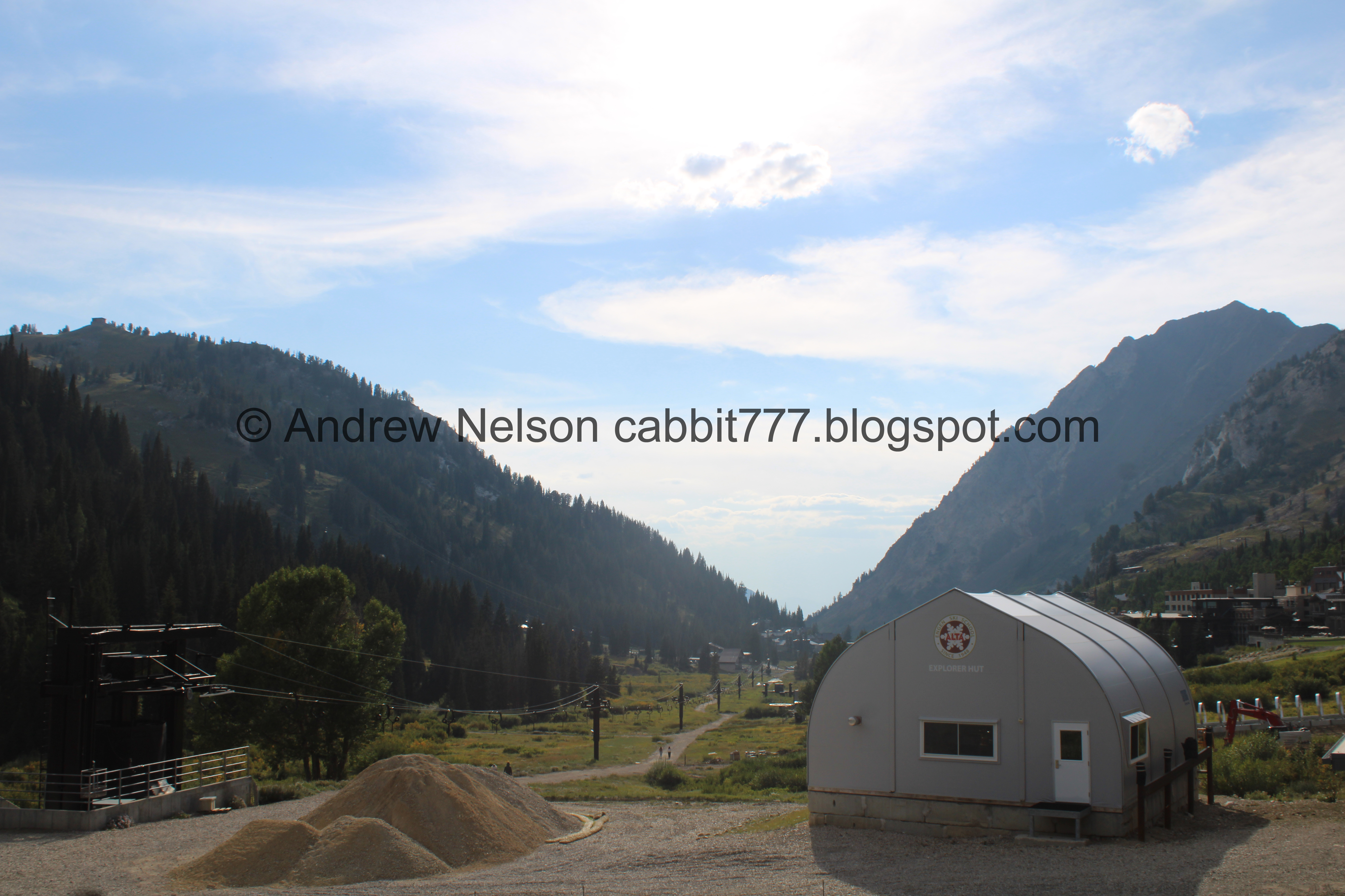
Looking down canyon, and also down the Lower Albion Meadows Trail.

Directional sign.

There is still a LOT of asters on the trail.

Heading up. Wow, it has been a while since we have done this part of the Albion Meadows Trail.

An absolutely stunning purple penstemon.

Yellow flowers. I think these are arnica.

Another purple penstemon.

Continuing up.

Lots and lots of asters.

Snow machine.

Western coneflower.

The little ridge where the Catherine Pass Trailhead is located on.

Old microwave reflector tower.

More aster.

Into the woods.

The first switchback swings past a very narrow and steep gorge with Little Cottonwood Creek in it. I tend to avoid getting to close to the edge here, however if I had, I might have noticed I probably wouldn’t like the trail I was intending to come down on today.

Some leaves getting a jump on the autumn change.

Lots of asters.

Then we are hiking under a ski lift for a bit. I think it is the Albion Lift.

Grizzly Gulch across the way. We finally explored that last week.

Paintbrush.

More early changers.

Pretty purple asters.

Giant white ones.

Seriously, look how big they are!

Early changing geranium leaves. This is pretty normal, I noticed geranium leaves tend to change early quite a few years ago.

Paintbrush.

More forest.

Squirrel enjoying a pinecone.

Paintbrush.

At about .55 miles we reach the first trail split. Left leads to the Summer Road. You want to hang right. As of a few years ago, we generally prefer to access this area by walking up the Summer Road. It is a smidge longer, but just a bit easier. Or, if you want to pay the fee to drive up the Summer Road you can take off about a half mile off each way.

Oh, they have added a small directional sign.

Paintbrush.

A slight bit of UP before the next junction.

A very sad fireweed.

At about 6/10th of a mile we come to the 2nd junction. Left will continue up the Albion Meadows, right will head towards the Snake Pit Trail and the Homerun Trail. We prefer to head up the Homerun trail anyway. however, As I mentioned, my first Idea was to check out the Snake Pit Trail.

New directional sign referencing what I just mentioned.

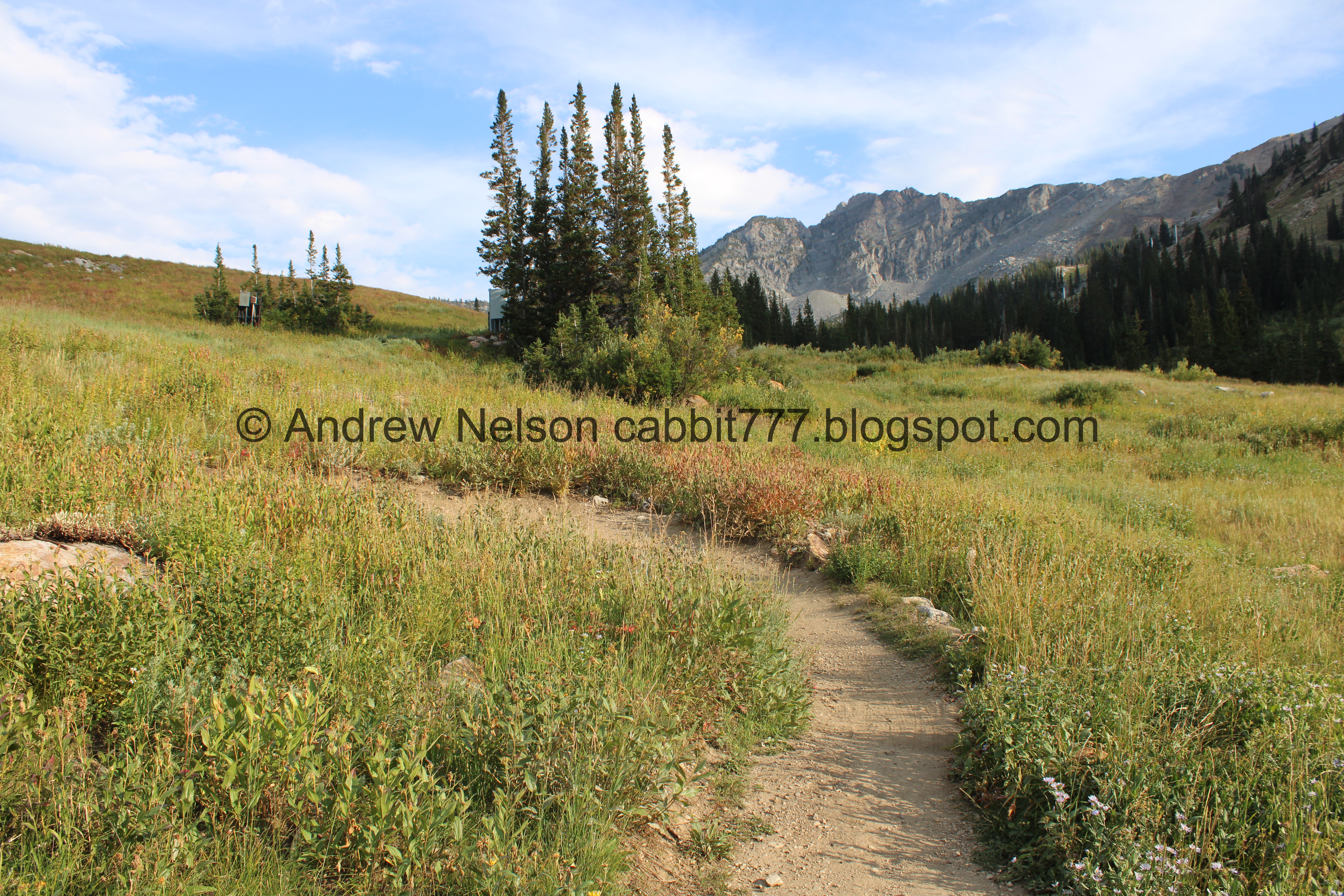
Heading across the meadow.

Not much further we reached the next junction. Homerun Trail to the left, Snake Pit Trail to the right.

Little river of asters. If I remember right, this used to be a trail, but has been rerouted for a for years now.

Helpful little map to guide you.


We did manage to salvage the day, and our hike. After turning back, we decided to just continue up the homerun trail through the Albion Meadows. The Homerun Trail offers a decent secondary spur here, that is a little closer to the Snake Pit Trail. It connects to the main trail just a little further up. We noticed a few cyclists coming down this way to keep going down the Snake Pit.

Sad fireweed.

Here is where the spur trail connects to the main Homerun Trail.

Some sort of yellow flower.

Old rerouted trail. This trail has been rerouted in quite a few spots.

Lupine starting to seed.

Greely Hill.
Devils Castle and Sugarloaf Peak.

Mine tailings.

The meadows are not as exciting as they are when the flowers are at peak, but they are still pretty.
The 1st of 4 upper switchbacks. As far as switchbacks go, they are really nothing.

More arnica.

Getting some white tips.

View down canyon.

Some fireweeds that have gone to seed.

Very Windows 95.

Devils Castle and Sugarloaf Peak.

More early changers.

Continuing along.

Lots of arnica.

Earlier in the year there is a little waterfall here.

The Catherine Pass Trailhead up above.

Geranium.

Nice little mix of flowers.

Closer view of the paintbrush.

The 4th and last switchback. These are super easy switchbacks.

Continuing up.

Lots of aster.

Another snow maker.

Western coneflowers.

Another nice mix.

Forest.

Another rerouted section. The old trails are starting to fill in nicely.


More big asters.

Another snow maker and Alf’s Restaurant.

Where the Albion Meadows Trail and the Homerun Trail connect. We decided to head on down the Albion Meadows Trail here.
If you want a little bit longer, continue up towards Alf’s and hang a left on the service road. Take that up until you hit another connector on the left, then you can continue across to the Catherine Pass Trailhead and then down the Albion Meadow Trail. If you want even longer, you can continue up to the Cecret Lake Trailhead, across to Catherine Pass Trailhead, and down the Albion Meadow Trail (About 3.6 miles). And if you want even longer you can add any of the higher up trails as well.

Continuing along.

Western coneflowers.

The Catherine Pass Trailhead.

And Catherine Pass just a little further up canyon.

Flower lined path.

View down canyon.

Some sort of mint.

Green hillside.

Paintbrush.

Here is where the Albion Meadow Trail connects to the Albion Meadows Trail we are currently on. That is not at all confusing haha. You want to stay left to get back to the Albion Base. Or if you still have energy it is only about a mile up and back the Albion Meadow Trail.

General reminder to protect the meadow for everyone’s enjoyment. Stay on the trail. Do not pick flowers. Do not trample flowers.

Paintbrush.

Greely Hill with the mine tailings.

Looking back towards Devils Castle and Sugarloaf Peak.

Lots of plants starting the autumn change.

Continuing down.

More arnica.


Lupine.

More asters of some sort.

Geranium leaves turning.

View down again.

Sad fireweed.

Another one going to seed.

Paintbrush.

More early changers.

Lupine.

Continuing down.

Geraniums.

Looking back at the peaks.

Grizzly Gulch.

Neat yellow flowers.

Back to the split that leads to Homerun Trail and Snake Pit Trail to the left. We want to hang to the right to head back down to the Albion Base.

Not much further down we come to the next split. Right leads to the Summer Road, which will get you down, but will be a bit longer if you are parked at Albion Base. Left will lead directly to Albion Base.

Into the forest!

Paintbrush.

More early changers.

Asters.

Ruh roh. Looks like we might get rained on. It ended up passing overhead without raining on us. Phew!

Under the ski lift.

Grizzly Gulch again.

Paintbrush.

Changed geranium leaf.

The narrow gorge again.

Mutant western coneflower.

Loads and loads of asters.

Almost down to the Albion Base.

Pretty purple penstemon.

View down canyon.

We’re not 100% sure, but we think this is the other end of the Snake Pit Trail, just a little ways down the Lower Albion Meadows Trail.

The Lower Albion Meadows Trail. What we think is the Snake Pit Connection to the left.

Heading back down the canyon (PSP).

Perfect U shaped canyon (PSP).

Again (PSP).

Roadside sunflowers (PSP).

Fun clouds (PSP).
Well, that was interesting. We started to do a trail I was not at all okay with, and were able to reroute and recover a nice day on the mountains! The Albion Meadows are definitely more exciting when the wildflowers are in prime, but we still found a lot of pretty ones to enjoy. It also was not very busy today, which is always a plus. Going with 8 out of 10 squirrels today.
As for difficulty, it is a bit of a climb, but it is not too bad. Going with DR4.
Dogs are not allowed in Little Cottonwood Canyon due to watershed restrictions. So be sure to leave Fido home for this one.

No comments:
Post a Comment