.jpg)
The Old Red Pine Road at the top of Mill Creek Canyon is a really pretty trail that offers a pretty mixed forest, a creek, and wildflowers. Last time we did it was the end of the fall colors and was a bit disappointing. So we tried it again today.
I heard that they plan on doing some construction up here to widen the thin, thin road near the top, but so far that has not been an issue. *quick google search* Looks like it is planned for May of 2025. So this is the last year we can be up for 2 years.

Quick Details:
Length: We did 2.17 miles out and back, but it keeps going
Trail Type: Out and back
Difficulty: DR3. It was a pretty mild climb, at least up to where we turned around.
Elevation Gain: We did about 550 feet.
Restroom: Yes, there are vault toilets at the trailhead.
Dogs? Yes. Leashed on even days, can be off leash on odd days (must remain in sight of handler and able to be secured at any time).
Other Info: Fee area. $5.00 fee payed upon leaving the canyon. This is also above the winter gate which is closed to vehicles Nov 1st to July 1st.
To Get Here:
Drive all the way to the top of Mill Creek Canyon and park at the Upper Big Water Trailhead. The trail is at the north east side of the parking lot.

The little fee station (Passenger Seat Photography (PSP)).

Fun rock formations (PSP).


Starting to see some color patches (PSP).

More fun rocks (PSP).


More color (PSP).

After the winter gate the road become quite a bit more narrow (PSP).

But it is still quite pretty (PSP).

The already narrow road somehow narrows even more for the last mile or so (PSP).

Super narrow (PSP).
Unfortunately the upper lot was completely full. Luckily the next lot down isn’t too far.

Walking back up to the top lot.

7600 feet!
The Trail:

Holy slash piles Batman!

Trailhead kiosk.

Back to the slash piles. So the forest service collects wood and other fire fuels into these slash piles to be burned when conditions are favorable and they can be monitored. This is a way to help prevent devastating forest fires.

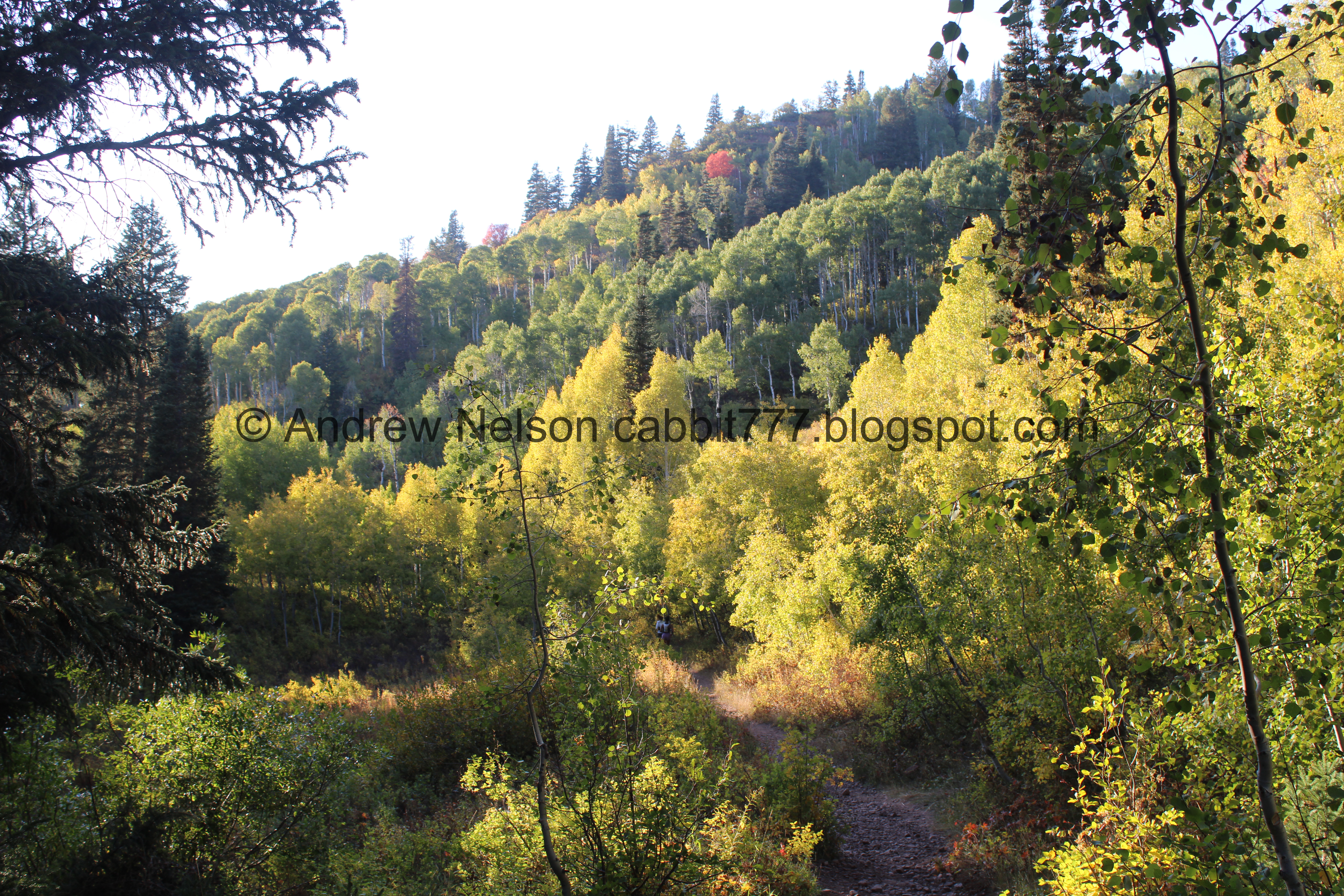
Some aspens starting to change.

Neat bent aspens.

First trail split. So we’re going to go left here.

Crossing Mill Creek.

Downstream.


Aspens starting to change.

Geranium leaves.


More aspens.

Not sure what these are but I like the reds.

Some asters hanging on.

More aspens.

A geranium leaf.

Forest.

Big ol wasp nest.

Some geraniums still hanging on.

Forest.


More aspens.

Some yellow flowers. Likely arnica.

A little side stream.

The other side.

Ooh, found some paintbrush still hanging on.

Another slash pile.

More yellow flowers.

More slash piles.

Another side stream.

More aspens.
We decided to stay on the lower trail rather than climb up the switchbacks today.

Crossing the creek.

Mixed forest.

More geranium leaves.

More slash piles. We had a little debate about the plastic in them. Obviously it is not good to burn plastic, so why is it there? We ultimately decided it has to act like a tarp to keep the piles mostly dry.

The creek again.

Yellow monkey flower.

Forest.

Another creek crossing.

Short rocky section with another side stream coming down it.

More aster.

Another paintbrush.

Fallen tree we had to climb under.

More side stream.

More aspens.

More geranium leaves.

Forest.

Geranium leaves.

Geranium leaves and something else.

Forest.

Another creek crossing.

Mossy rocks.

A pair of trees we had to climb under.

With a squirrel friend.

More slash piles.

Little patch of orange.

Forest.

Little white flowers of some sort.

Hillside above.

Then the trail starts climbing somewhat steeply. At this point we decided we were done and decided to head back down.

View down.

Clover flowers.

More flowers.

Forest.

More asters.

Back under the trees.


Forest.

Creek crossing.

Forest.

Western coneflower.


Forest.

Heading under the other tree.

The creek.

Crossing.

Forest.

Little clearing.

Aspens.

Another creek crossing.

Another clover blossom.

More fallen trees.

The upper side stream.

Forest.


Geraniums.

Lower side stream.
Nice bright section.

Mint.


Pretty aspens.


Mixed forest.


Fun color.

These look like spent fireweeds. Huh, I might have to check out this trail during wildflower season sometime.


More forest.

More fireweeds.


Aspens.

The lowest crossing with a bridge.

Thimbleberry leaves starting to change.

More slash piles.

Lots of slash piles.

Back down to the upper trailhead.

More flowers.

Mint.

Mixed forest.

Heading back down (PSP).

Elbow Fork (PSP).

Little pops of color (PSP).

Below the winter gate the road gets quite a bit better (PSP).

Waiting in line to pay the use fee (PSP). This is honestly not that bad, maybe a 5 minute wait today. We have waited much longer, and much higher up.

Fun rock formations (PSP).

Last light on Mount Olympus (PSP).

Some color on the hills (PSP).

And a blah sunset (PSP).
Well, it was a fun little hike, with a little bit of color, but meh. I guess not what I was really looking for today. The canyon was extremely busy, but the trail wasn’t too bad, passed a couple groups. The weather was great. Meh, going with 7 squirrels out of 10.
As for difficulty, the short bit we did was a pretty gentle climb. DR3.
Dogs are allowed, leashed on even days, can be off leash on odd days (must remain in sight of handler and able to be secured at any time). Please be sure to clean up after your fury friend.

No comments:
Post a Comment