.jpg)
Grizzly Gulch is a steep narrow gulch located near the top of Little Cottonwood Canyon. It is a pretty gulch that offers great views, wildflowers, and a couple mines. You can also continue up to Twin Lakes Pass, but we didn’t make it that far today. This trail was seriously a whole lot of UP and by the time we hit Michigan City we decided we were done. However, I did enjoy it, and might come back sometime. This is our first time trying this trail (which BTW introduces my newest tag: 1st time).

Quick Details:
Length: It was about 1.10 miles up to Michigan City (2.2 out and back). It is 1.8 miles to the pass (3.6 out and back).
Trail Type: Out and back.
Difficulty: This was a super tough climb. Going with DR5.
Elevation Gain: About 730 feet. 1350 to the pass.
Restroom: Not at the TH, but there are some just down the hill at the Albion Base.
Dogs? No. Little Cottonwood Canyon is watershed.
Other Info:
To Get Here:
Drive to the top of Little Cottonwood Canyon. The trailhead is just up canyon, and across from the Snowpine Lodge.

Heading towards Little Cottonwood Canyon (Passenger Seat Photography (PSP)).

The sunflowers are starting their yearly takeover of or roadsides (PSP).

The mouth of Little Cottonwood Canyon (PSP).

Avalanche damage (PSP).

Big scree pile (PSP).

Holy crap, Snowbird is absolutely bonkers crowded for Oktoberfest (PSP). I was considering going again this year but uhm… now I am not so sure. Eh, who am I kidding I love me some booze in the mountains. I will figure something out.

Moody clouds above.

Microwave reflector.

The Albion Basin.
The Trail:

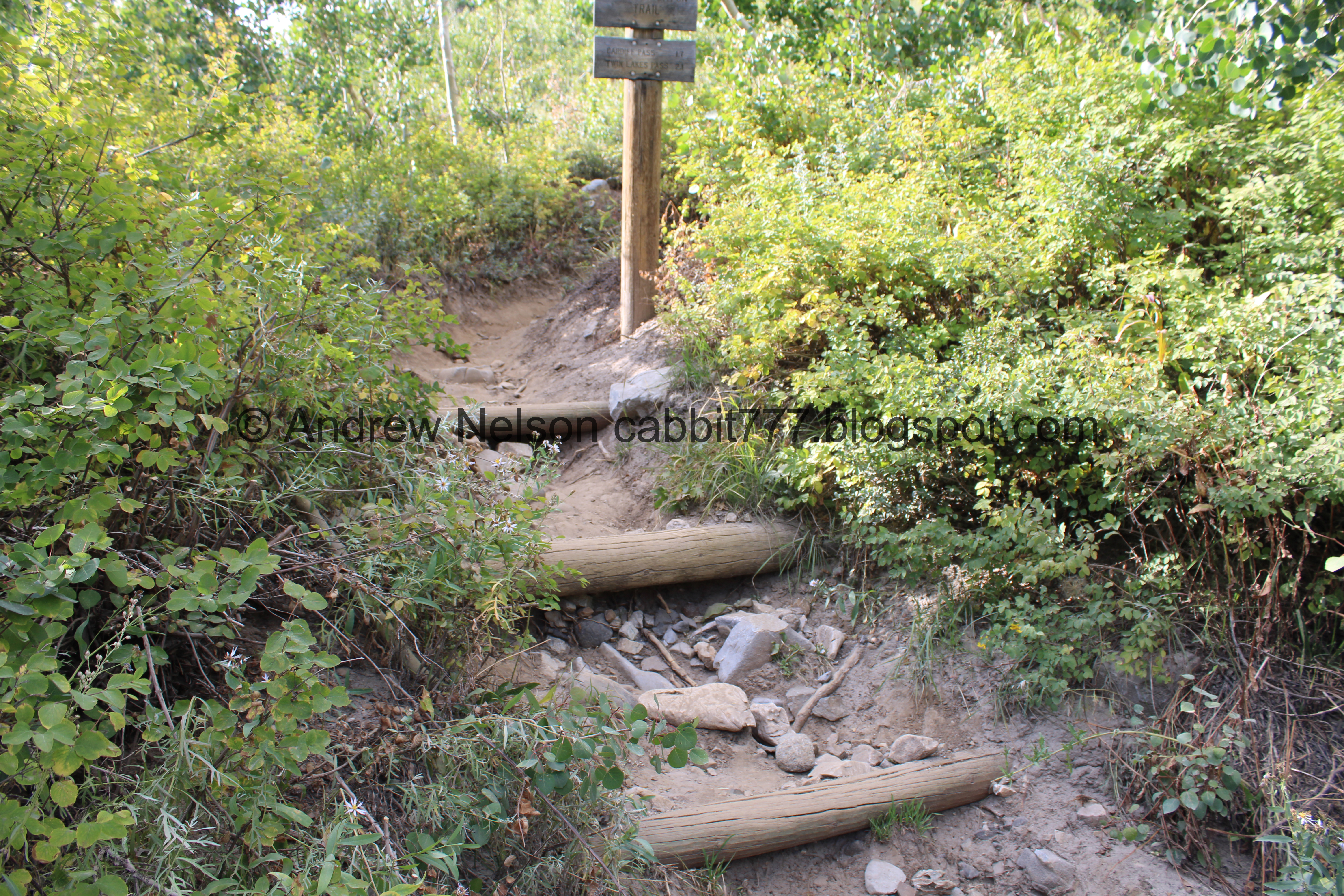
The very subtle trailhead is found by this bright warning sign. As I mentioned it is slightly up canyon and across from the Snowpine Lodge, also directly across from the turnoff for the Albion Base.
Starting the trail.

It is signed as the Alta Brighton Trail.
Huh, this sign says it is 2.1 miles to the pass. Since we didn’t get that far I am not sure which is correct, this or the Alta map. I would guess the map is probably more accurate.
Cardiff Pass is shorter, but according to the Alta map is a lot more difficult. I imagine that it leads to Cardiff Fork, AKA Mill D South, where Donut Falls is found.

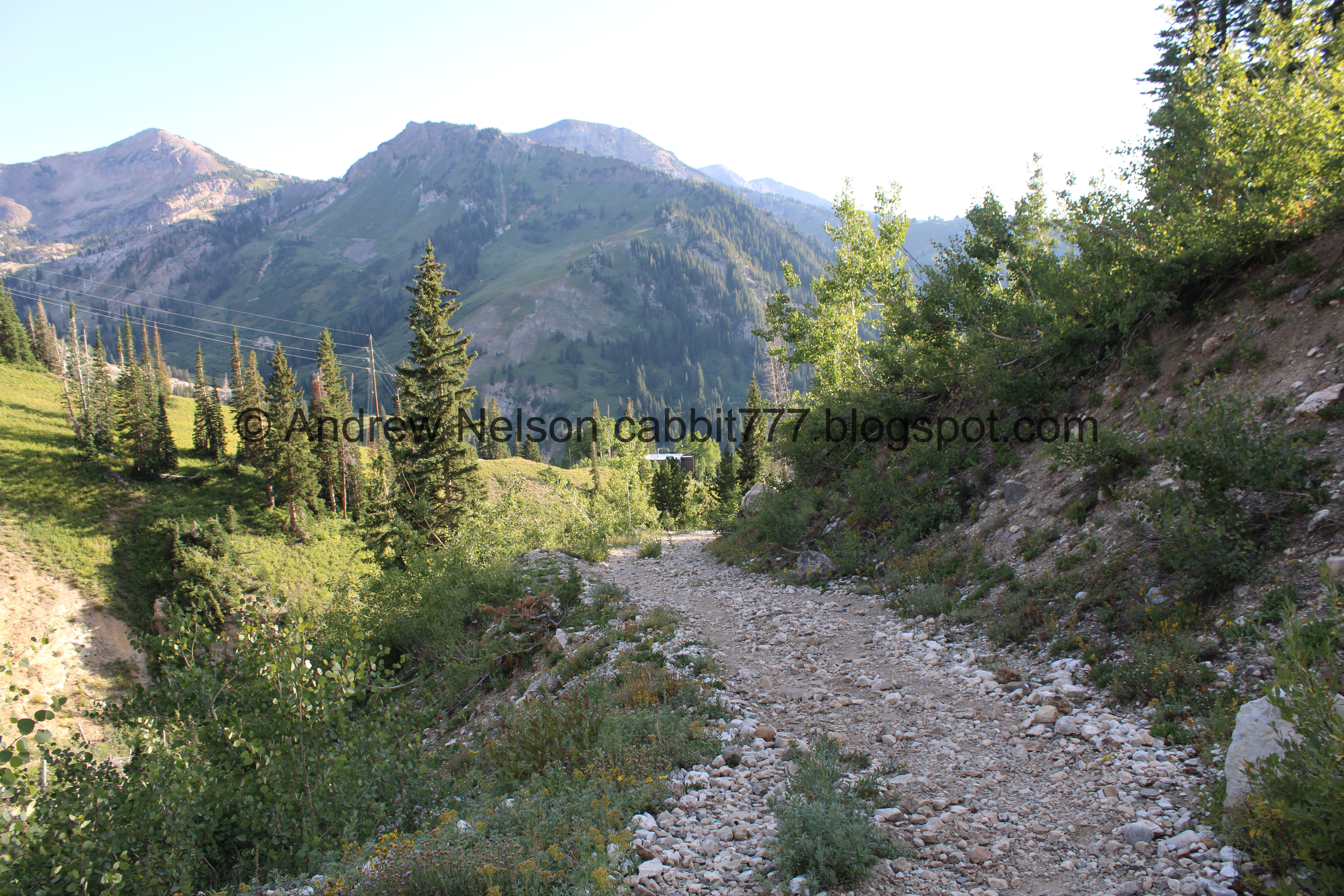
Right off the bat the trail just starts climbing. Oh boy.

With lots of erosion control steps.

Pretty aspens.

Found a paintbrush hanging on.

Yellow flowers.

The second switchback is still a lot of up. Oh boy. We started to maybe reconsider this trail, but pushed on anyway.

Hiking over solid boulders.

Yellow flowers.


Some plants getting a jump on the autumn change.

Paintbrush.

More yellow flowers. I am not 100% sure what these are. There are so many dang yellow many petal flowers.

All along the trail.


I love when they have the white tips.

Aspens.

Paintbrush.


Pretty forest.

About 2/10th of a mile later the trail becomes the Michigan City Road, which is a wide, well graded dirt road. It’s still some up, but its a little bit better than the first section.

The tips of the mountains above the forest.


More flowers.

Continuing along.

Devils Castle across the way.


More flowers.

Starting to get a nice view of the Albion Basin.

After this first major curve the road actually dips downhill a little bit.

Greeley Hill, and Mount Baldy across the way.

Green hills the other way.

Looks like there was a slide here not to long ago.

Side gully.

The Albion Basin again. This is a pretty cool vantage of it. Point Supreme, East Castle, Devils Castle, and Sugarloaf Peak rise above it.

Devils Castle, Sugarloaf Peak, Greeley Hill, and Mount Baldy.

I can’t see Hidden Peak from here, but I can see one of the tram towers heading to it.

It looks like the road was recently graded, and we noticed tire tracks on it. People use this road?? I discovered later it looks like there are some private cabins further along.

Flowers.

More plants getting a jump on autumn.

Random birdhouse.

A couple spots started twinging my fear of heights a bit, but luckily the road is nice and wide and I could stay away from the edge, so I was able to keep going.

A sad fireweed and some asters of some sort.

Paintbrush.

The trail goes through a spot with very soft, beach like sand.

Another side gully, that also looks like it had some damage. This also kind of looks like a Silica Pit. But, I am not really sure if it actually is.
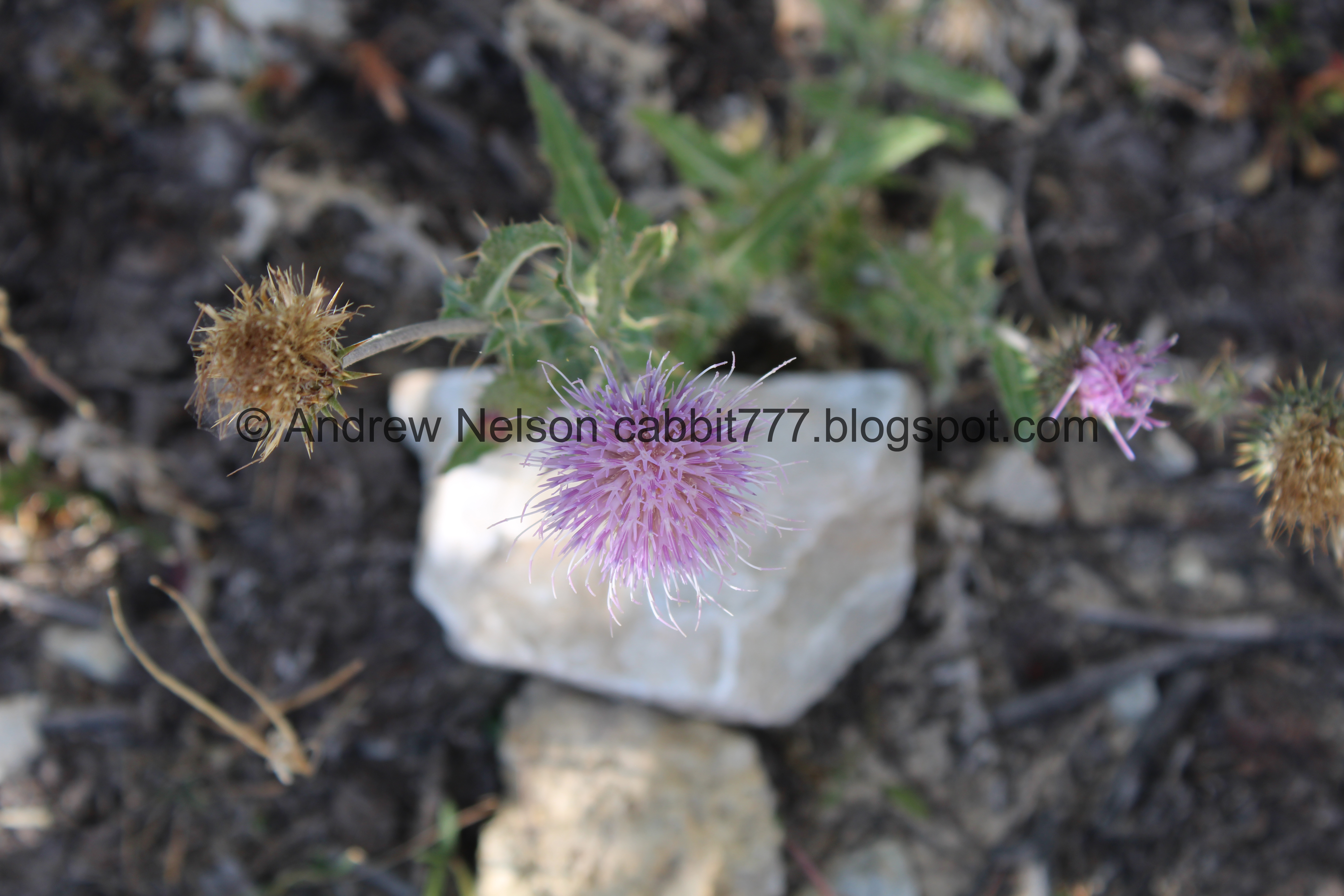
Thistle.

At about a half mile you come to a 4 way trail intersection. Right leads to a private road, I am not sure were left leads. You want to continue forward through the gate.

Hiking permitted, no private vehicles.

After the gate the trail gets steep and very rocky.

Paintbrush.

Lots of them.

The Albion Basin again. You can just make out the Catherine Pass Trailhead just left of center.

Lots of flowers.

Geraniums and some kind of mint.

A red paintbrush amongst the orange paintbrush.

Continuing up the grueling climb.

Mixed flowers.

The Albion Basin again.

View down canyon.

Continuing up.

The Albion Basin again.
.jpg)
Panoramic.

Down canyon.

Lots of flowers.

Early changing geranium leaves.

Lil yellow flowers.

Western coneflowers.

More flowers.

Grizzly Gulch. I didn’t want to get too close to the edge, it seemed quite steep.

The Albion Basin again.
.jpg)
Another panoramic.

Continuing up. I decided at this point I would push us to about a mile, depending on how it was, cause this trail was kicking our butts. This trail was lumped in with same category as Catherine Pass, but I donno, this seems tougher than that trail.

A hawk. I am leaning towards a Coopers Hawk.

More early changing leaves.

Grizzly Gulch again.

Little spring running across the trail.

I think these are buttercups.

I think this is another kind of buttercup.

Continuing up. Oi.

Grizzly Gulch again.
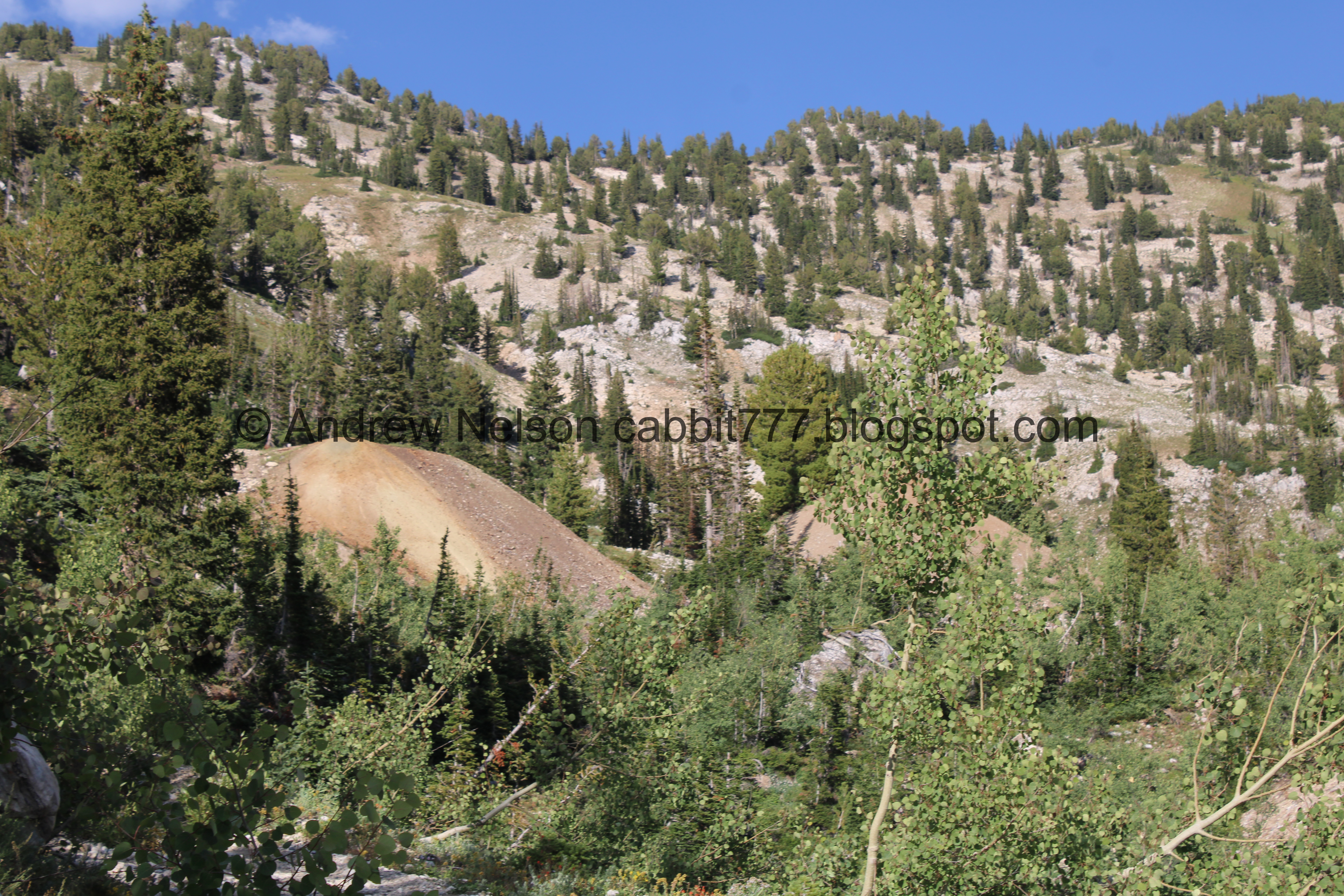
Mine tailings.

Super rocky!

Flowers.

Some skyrocket.

More flowers.

Paintbrush.

Mine tailings again.

Grasshopper.

Closer to the mine tailings. It is interesting that there are trees growing out of the right one.

Odd yellow flowers.

The trail goes right between the mine tailings.

The left one.

The right one.

Neat cliffs above.

Well, we hit a mile, but we noticed that metal box ahead and decided we would continue towards that before calling it a day. Plus, the trail leveled out a bit so it shouldn’t be too bad.

More early changers.

Remains of some structure. At first we thought maybe an old cabin but then we thought, why would someone build a home so close to a steep gulch. Then we saw the cables and guessed it might be the remains of a tram like structure to move materials up and down. Not saying that it what it is, but just our best guess.

Getting closer.

Grizzly Gulch.

More cables.

If you are after the pass, you should go right here. Forward leads to the mines.

Where the main trail continues up.

Another large tailings pile.

Paintbrush amongst a bunch of aster.

Lots of tailings piles. The sure did a lot of mining up here!

The metal box that made us push forward.

Is just a metal box. Not terribly exciting.

View down canyon.

More old rusted metal. This looks like a canister of some sort.

Another wooden structure.

Where the trail continues up.

The ridge above.

Looks like there is more equipment above. Our legs were a little wobbly from the long climb, so we didn’t go exploring up there. Though when we got home I saw some pictures of the area and there does seem like there is some neat old equipment to be found. Sigh. Oh well.
.jpg)
Panoramic.

We kept hearing pica calls, but never spotted one.

View down again.

A bunch of asters.

Tailings.

Mixed flowers.
.jpg)
Another panoramic of the mines and the ridge above.

Paintbrush.
Well, we decided it was time to head back down. We decided to do a quick loop back down to the main trail.

Random metal piece.

The wood structure again.

The canister again.

More aster.

The tailings pile we were on.

More aster of some sort. There sure is a lot of them up here.

The trail continuing up. It honestly doesn’t look like it has much to go, but if the map is right it is another 7/10ths of a mile or so. Eh. Maybe one day we will do it.

Heading back down.

The first wooden structure again.

Another cable. Or maybe the same one.

Cliffs above.

Some pink paintbrush.

Early changers.

Weird yellow flower.

The first 2 tailings piles again.
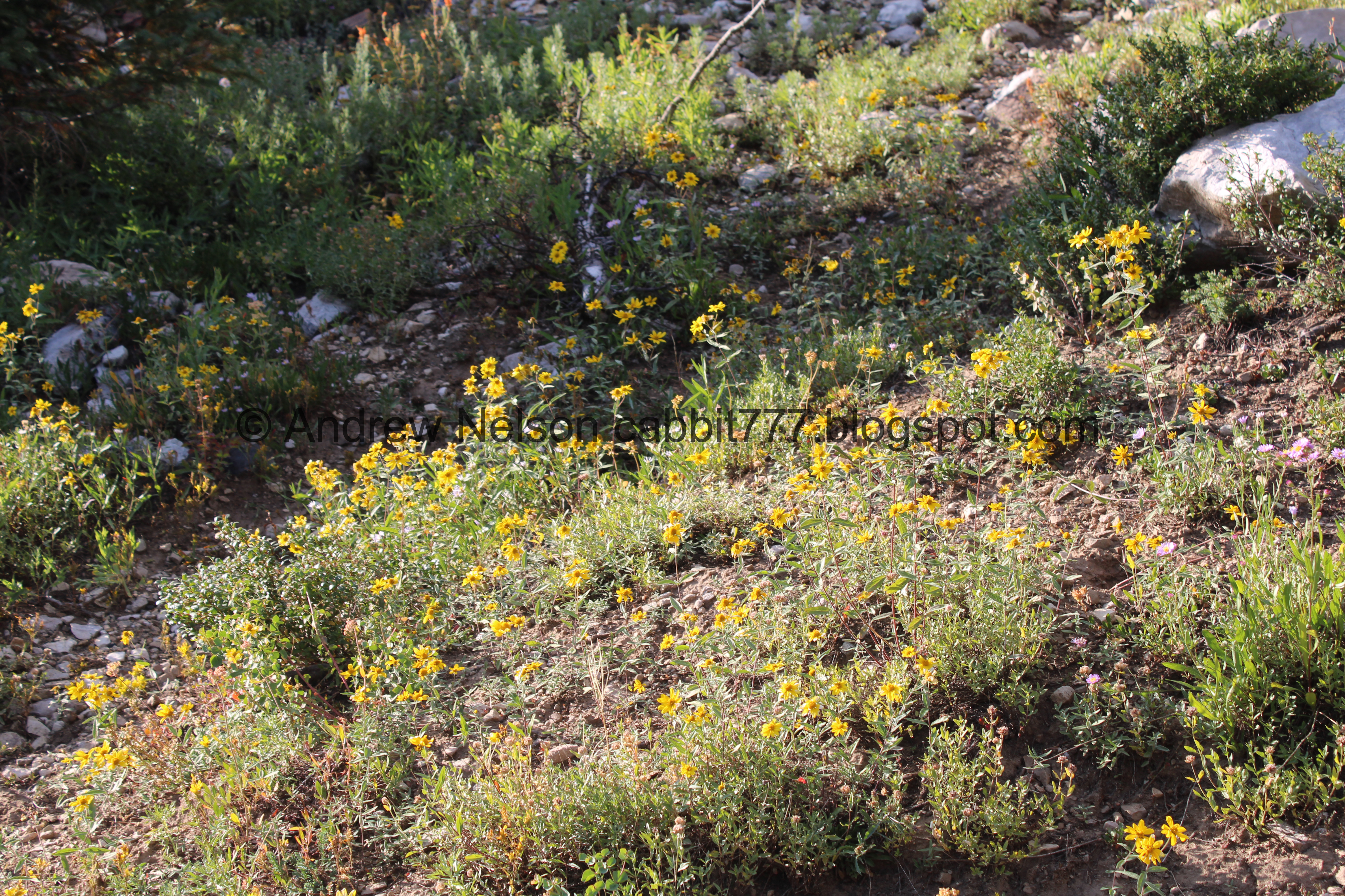
Lots of flowers.

Closer.

Lots of asters with some bees.

Between the mounds.

View down canyon.

Paintbrush.

Pretty purple flowers.

Lots of flowers.

Grizzly Gulch.

Paintbrush.
Continuing down the super rocky trail.

Skyrocket.

You can hear a creek flowing down in the gulch, but the few times I dared to get a little closer to the edge I never saw it.

Buttercups.

More buttercups.

Albion Basin.

Down canyon.

Albion Basin again.

Continuing down.

Paintbrush.

View down again.

Closer look at the Lower Albion Meadows Trail below.

The Albion Basin again.
.jpg)
Panoramic. Devils Castle, Sugarloaf Peak, Greely Hill and kind of hiding is Mount Baldy.

View down again.

Flowers.

Continuing down.


Paintbrush.

Mixed flowers.

Geraniums and mint.

More flowers with the white tips.

Closer.

Back down to the gate. About a half mile to go, and I mentally made note of the mileage so in about a quarter mile I knew to start looking for the turn off.

You want to take the middle fork here. Left leads is a private road, and I am not sure where right leads.

There is a sign that says Trail ->.

Pretty forest.

Side gully with water damage.

Flowers lining the trail.

Looking back up towards the Albion Basin again.

A sad looking fireweed.

Heading slightly uphill for a little bit.

More pretty forest.

The other side gully with slide damage.

The Albion Basin again.

I wonder where this side road leads.


More pretty forest.

I was overly cautious in vane haha. The side trail leading back to the trailhead is pretty obvious. And even if we missed that, it does not appear the road would be much further before it spit us out slightly down canyon from the trailhead. Okay, I just measured and it looks like it would be 8/10s of a mile down and back to the trailhead vs. 2/10ths using the trail. So an additional 6/10ths.

It is a lot more thin than the road, but it is still pretty obvious.

Pretty aspens.

We noticed a large water tank.

Aspens.

Steep, steep trail.

Paintbrush.


More aspens.

Pretty purple.

Nearing the bottom.

The last switchback.

Super rocky trail.

Back down to the trailhead. Phew!
As much as I wished we had pushed on to the pass, I am glad we didn’t. Both of us had legs like jelly by the time we got back. But, we can always try again.

Old microwave tower.

Looking back towards Grizzly Gulch.

Another sad fireweed.


Fireweeds that appear to be seeding. That is kind of neat, I have never seen it before.

Heading back down the canyon (PSP).

One of my favorite views (PSP).

The roadside sunflowers are really starting to explode (PSP).
Well, that was a tougher hike than I thought it would be, but it was pretty. There were still lots of wildflowers to be found. Plus we only ran into a few other people. For not making it to the intended destination, at least we made it to something interesting to explore. I am going to remove 2 squirrels for the tough climb, and the slightly lack of signage. 8 out of 10 squirrels.
As for difficulty, it is quite the climb! DR5.
Dogs are not allowed in Little Cottonwood Canyon due to watershed restrictions. Be sure to leave Fido home for this one.

No comments:
Post a Comment