.jpg)
The Little Cottonwood Canyon Trail is a nice trail that follows Little Cottonwood Creek up the canyon for several miles. The trail features a creek, amazing cliff views, a pretty forest, and some wildflowers. There are 2, well, technically 3 ways to access this trail. The Lower Trailhead at the mouth of the canyon, The Upper Trailhead (about 2.7 miles up canyon) and Tanners Flat Campground (which is a fee area). We decided to do the upper trailhead to get out of the heat. After our grueling hike yesterday, I wanted to do something a little easier, so we opted to do this one on our extra hike day for Labor Day.

Quick Details:
Length: We did about .6 miles up (1.2 out and back) but it goes 1.8 miles up to Tanners Flat from the upper trailhead.
Trail Type: Out and back.
Difficulty: DR3
Elevation Gain: About 290 feet.
Restroom: No. Closest ones I can think of is up canyon at the Gloria Falls Trailhead, or down canyon at the park and ride or the Grit Mill Trailhead.
Dogs? No. Little Cottonwood Canyon is watershed.
Other Info:
To Get Here:
From the mouth of Little Cottonwood Canyon, where the 2 roads join, continue 2.7 miles up canyon. there will be a small lot on the right side.

The mouth of Little Cottonwood Canyon (Passenger Seat Photography (PSP)).

This ephemeral waterfall is still flowing (PSP). Not sure if the recent rain contributed to that.
The Trail:

The trailhead. There is a short down section at the beginning, before you start the climb. This of course means you have to climb back up this on the return trip.

A couple of wildflowers can still be found.

Continuing downhill for a bit.
I didn’t get a shot, due to people, but eventually you hit the main Little Cottonwood Trail. You can go either way, but we went left, or uphill.

Heading up along the trail.

Forest.

There are a couple of rocky parts, but not so bad. At least for this section.

Less rocky.

Neat mossy rock.

Flowers.

Continuing up.

Forest.

More forest.

Before long you start to hear Little Cottonwood Creek, and not much further you can start getting glimpses of it.

Another flower.

When you hit these twin pipes you are almost to our intended destination.

Neat rock wall.

Short little boulder strewn section.

Lizard!

The creek again.

Flowers.

Forest.

Random buried pipe.

Old stone wall.

We made it to our intended destination. The remains of an old, old power plant.

I am not sure what this was, but it makes for a nice observation point.

Not much remains of the old power plant, mostly just the one remaining wall with 2 intact window frames. It has probably lasted all these years due to the fact that it is on the other side of the creek with no really good crossing points nearby (I have looked haha).

With the creek.
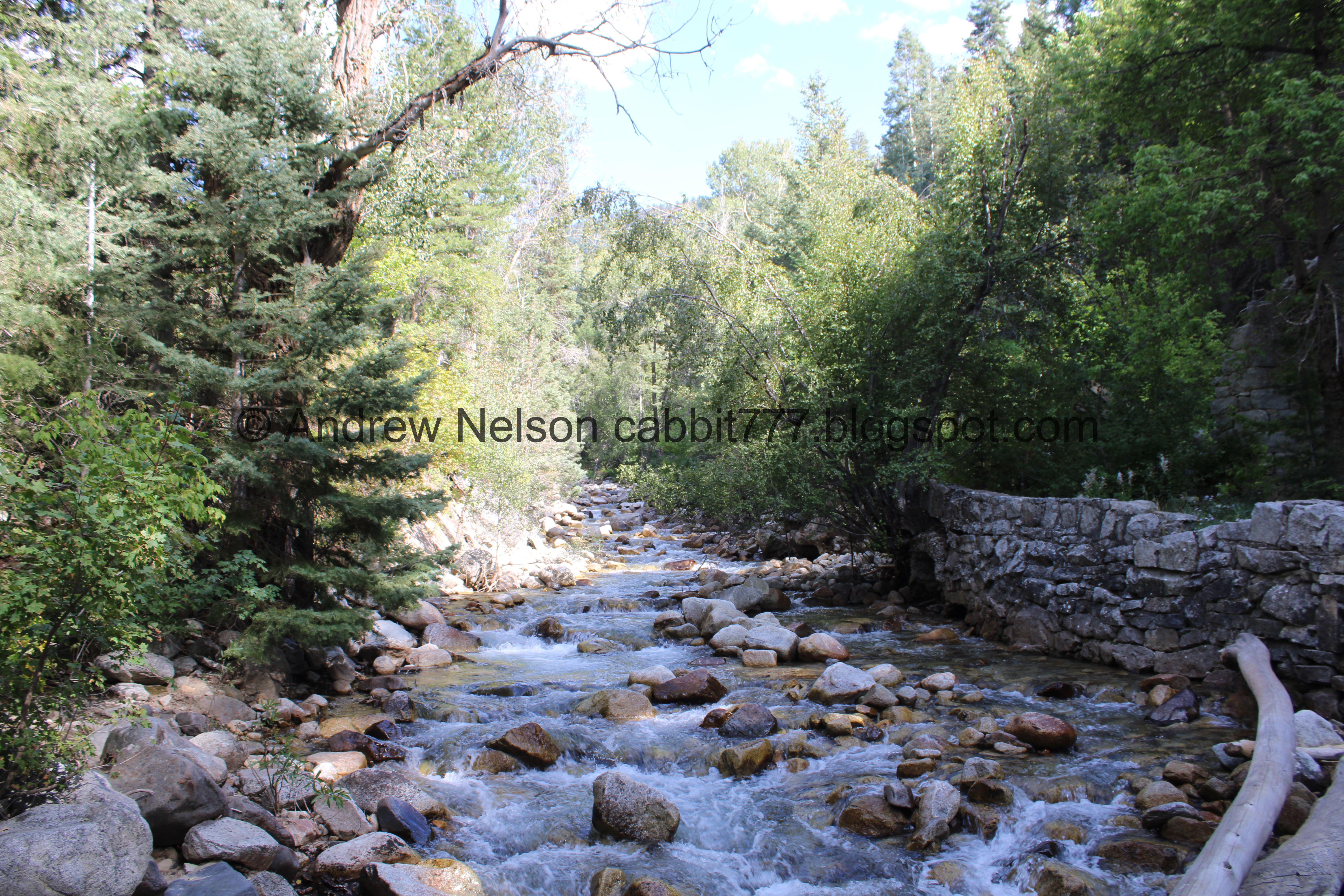
The creek.

Some sort of tube underneath.

The ruins again.

Nice clear water.

The creek again.

The ruins again.

We wandered up a little ways and got a different vantage. Oh there is a little doorway too that was blocked by a tree.

With the tube again.

The creek.
We decided to head back down, but with some exploring.

Weird metal … sleeve? of some sort.

Little waterfall.

From the side.

There appears to be a second drop.

Both drops.

Top of the first drop.

The old wall again.

Trail side again.
I found a few little side trails down below that I was hoping would offer a shot of the 2 drop waterfall and did not have any luck. But I did find this small cascade.

The double pipes again.

Trees.

Heading back down.

Mossy rock.


Forest.

I am guessing these are overflow streambeds that flow during runoff. Similar to what we saw earlier this year at Soapstone Campground.

Big boulder.

Back to the trail split. You want to head right here to get back the the upper trailhead.

Climbing back up.

Little yellow flowers of some sort.

Oof. Quite a climb back up.

The final stair climb back to the parking lot.

View across canyon. Lisa Falls is back behind there somewhere. I thought about doing that today too, but our legs were starting to protest after yesterdays hike and the little bit we did today. Eh, we have done it before.

The cliffs down canyon.

The roadside sunflowers taking over the canyon.
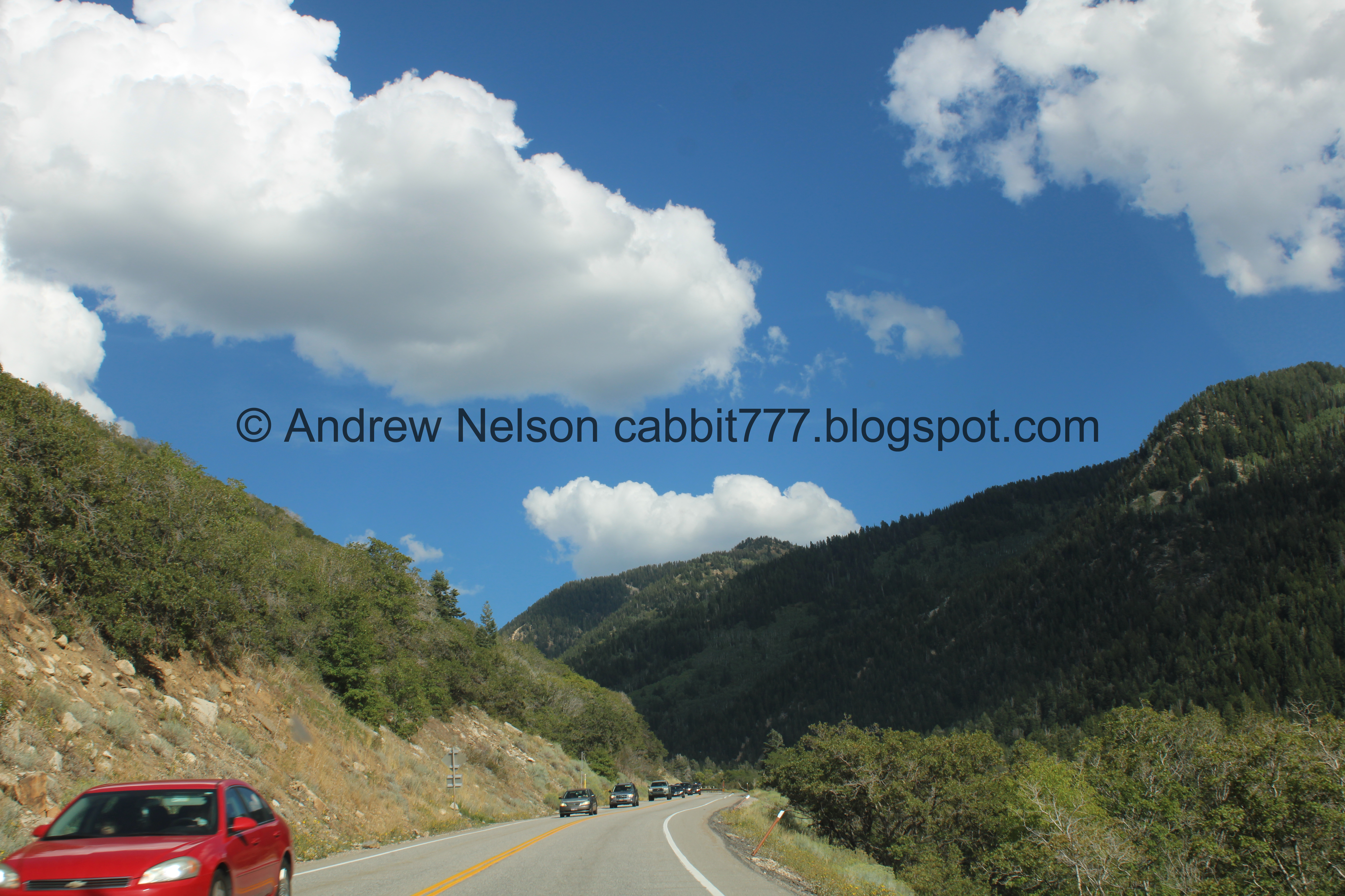
We decided it was easier, and safer to head slightly up canyon and look for somewhere to turn around to head back down (PSP).

A little more clear view down the canyon (PSP).

Fun clouds (PSP).

More roadside sunflowers (PSP).

Sun rays and patchy showers (PSP).
Well, that was a fun short extra adventure for the holiday. I think I would have liked to be a little bit higher today to be a little bit cooler, but it wasn’t bad overall. It’s a pretty trail, and the old powerplant is neat to see. Plus, it was not terribly busy today. 10 out of 10 squirrels.
As for difficulty, it is pretty easy going, mild climb with a few rocky sections. DR3.
Dogs are not allowed in Little Cottonwood Canyon due to watershed restrictions. So be sure to leave Fido at home for this one.

No comments:
Post a Comment