.jpg)
Rose Canyon is a nice little canyon on the far southwest part of the valley in Herriman. It features some nice woods, and Rose Creek. It is part of the Rose Canyon/Yellow Fork Canyon trail system. We have done it a few times, but I think this is the first time we have done it this late into spring.

Quick Details:
Length: We did about 3 miles out and back today, however the trail does keep going.
Trail Type: Out and back, loop and balloon options.
Difficulty: Its a general mild climb. DR3.
Elevation Gain: About 450 feet.
Restroom: There is a vault toilet at the trailhead.
Dogs? Yes, leashed. Please clean up after your firry friends.
Other Info:
To Get Here:
From i15 take exit 289 for Bangerter Highway. Go about 5 miles and turn left on 13400 S. Go about 3 miles and turn left on 6400 W,/Rose Canyon Rd. .6 miles later turn right to stay on Rose Canyon Rd. 1.4 miles later turn left to stay on Rose Canyon Rd. About 2 miles later will be the trailhead parking.
If you are starting from Bangerter and are north, Start from 13400 S. But turn right, then follow the rest of the directions above.

Kennecott (Passenger Seat Photography (PSP)). It’s a little harder to see with the dust blowing around.

The canyon road is seriously the least scary canyon road ever (PSP).

Step Mountain.
I went back and fourth as to which canyon we should go up today, and I decided it has been a minute since we have done Rose Canyon, so we went that way.
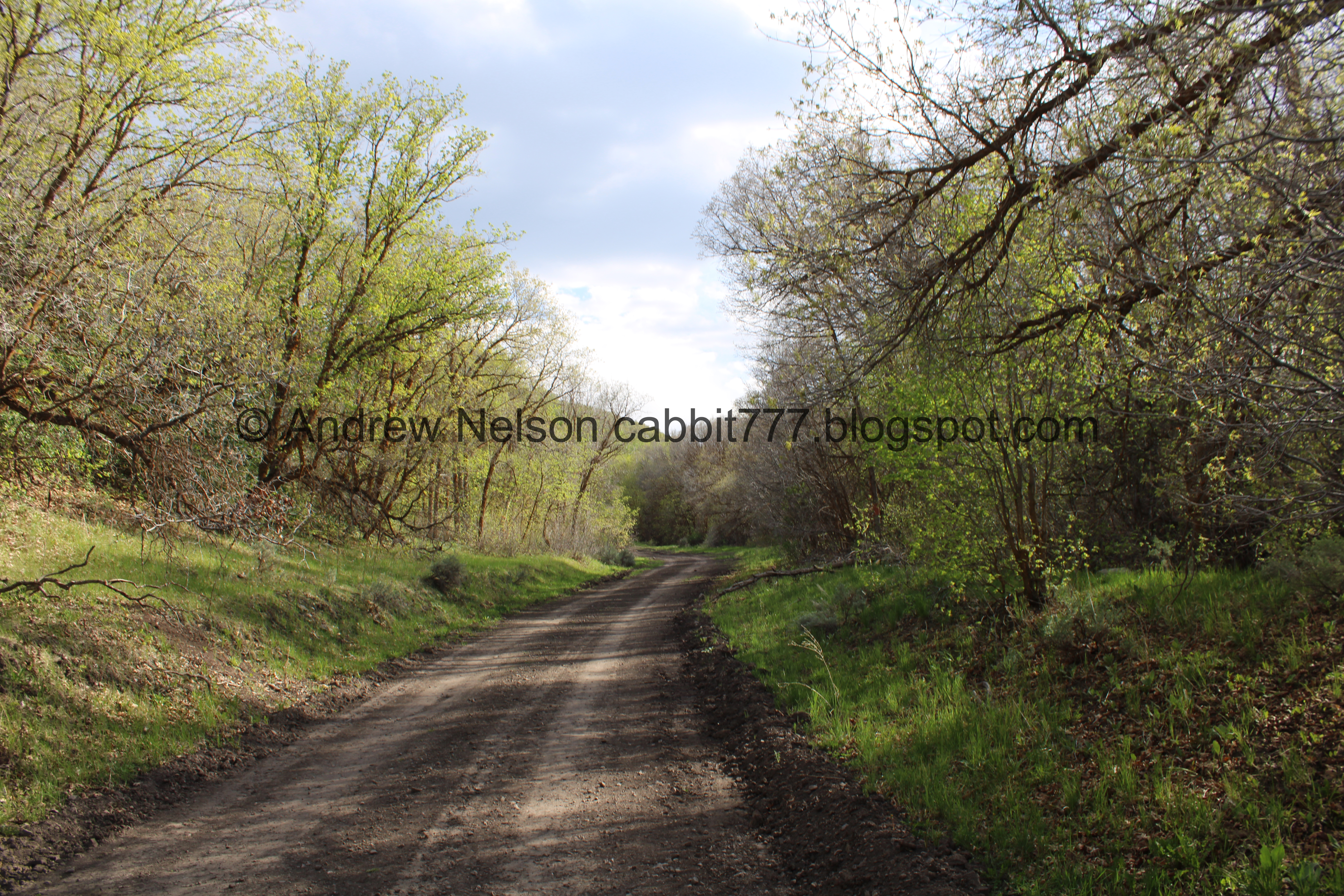
The Trail:

Trailhead kiosk.

Area map.

I noticed that Yellow Return is displayed backwards on the map. Snort.

Restoring wildlife Habitat. This has some information about the analog beaver dams we will see along the way.

Rose Canyon is the left hand (south) canyon from the trailhead. The right hand (north) canyon is Yellow Fork Canyon.

Rose Creek is well, quite thin.

The 1st gate.

The climb.

Green hills.

Fluffy clouds.

The old dirt road is pretty well graded, so it is a pretty smooth walk.

First little clearing.

Pretty mild climb.

Ballhead waterleaf.

Every now and then you can get a glimpse of Rose Creek.

Lots of Oregon grape.

Lots of waterleaf.

Some phlox.

Continuing up.

Like Yellow Fork Creek sometimes Rose Creek is down in a little gully. Bonus random tire.

The ridge between the 2 canyons.

Fun clouds.

Another little clearing.

Trees.

For a hot minute I thought that maybe they were carving out a new trail.

But.. it’s private property. So probably putting in a cabin or something.

Some springs.

No Trespassing sign I am pretty sure is for the private property we just passed.

The 2nd gate.

Weird fuzzy caterpillar.

Google lens is telling me it is a wooly bear caterpillar which is the larva of an Isabella Tiger Moth.
If I have identified it correctly it should be safe to handle, but it sure doesn’t look that way! Plus, I am not 100% sure I have identified it correctly, so no need to risk it. Also, I believe there is really no need to handle bugs at all if it can be avoided.

Fallen trees.

Continuing up.

The 3rd clearing, which is a lot bigger than the previous 2.

Analog beaver dam.

The creek.

With another analog beaver dam.

Electrical box. Which makes me wonder if they had plans to develop up here at some point.

Continuing through the big clearing.

I like this part.

Another analog dam doing exactly what it is supposed to do. Catch debris and slow the creek down.

The creek again.

Nice and green.

Trees.
More.

The creek.

Some kind of side trail. I have no idea where that goes.

Lots of green.

More fluffy clouds.

Trees.

Another small clearing.

The Water Canyon Connector Trail.

Another big clearing. This one they have fenced off. Landis asked why they would do that and I said well, generally they do it when they are trying to restore the area. However, normally they put up a sign saying that, so I don’t really know.

With the ridge above.

Neat cone shaped peak. It reminds me of the cone shaped peaks you can see at Willow Heights.

It looks like there might be some springs in there too.


Continuing up.

Well hello there.

She was pretty curious about us too.

Then she was off!

Continuing up.

Trees.

At the moment, some of these 'no trespassing' signs didn’t seem to make much sense.. like what are they protecting? It’s a steep hill with trees. But it will make sense in a minute.

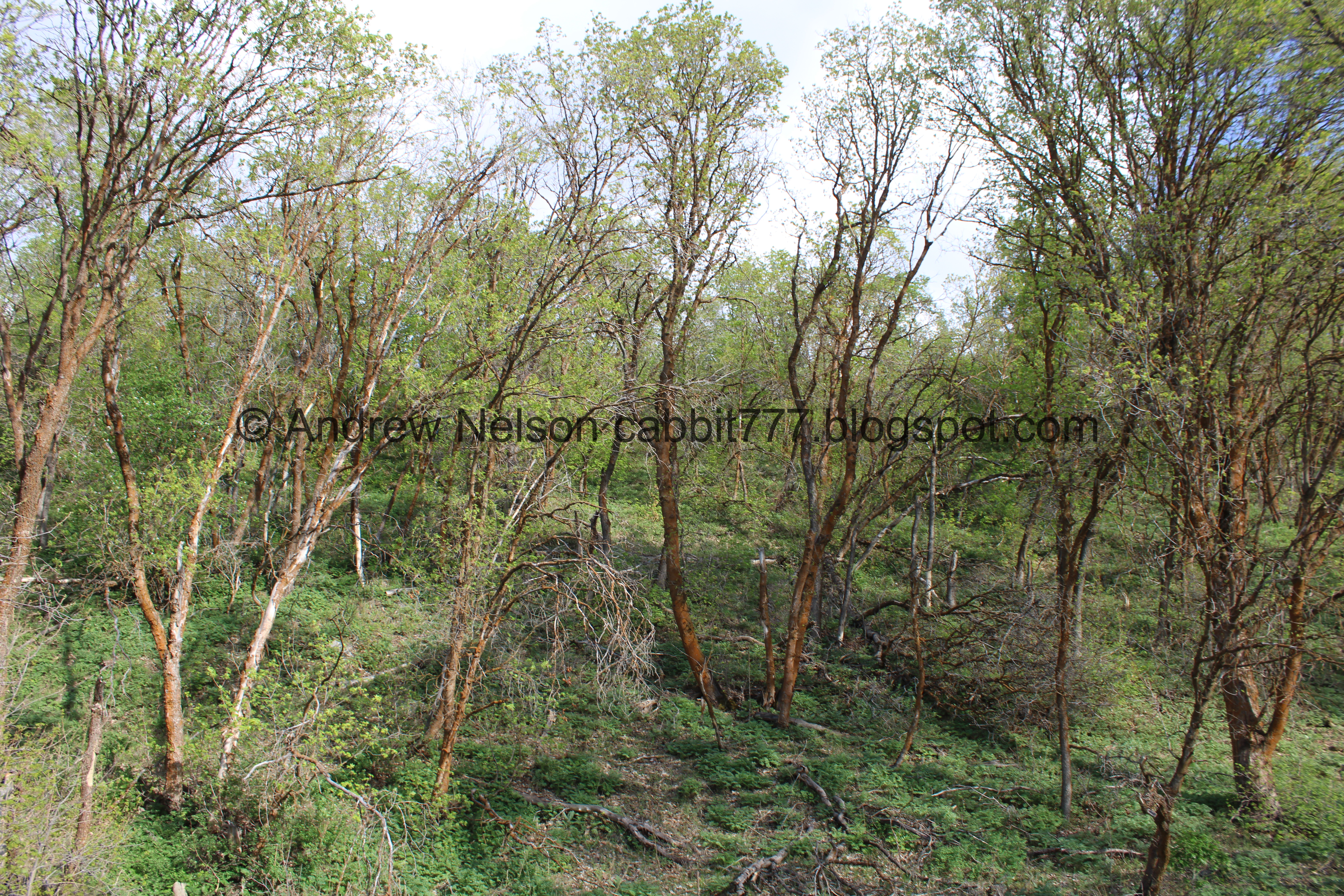
Forest.


Bent trees.
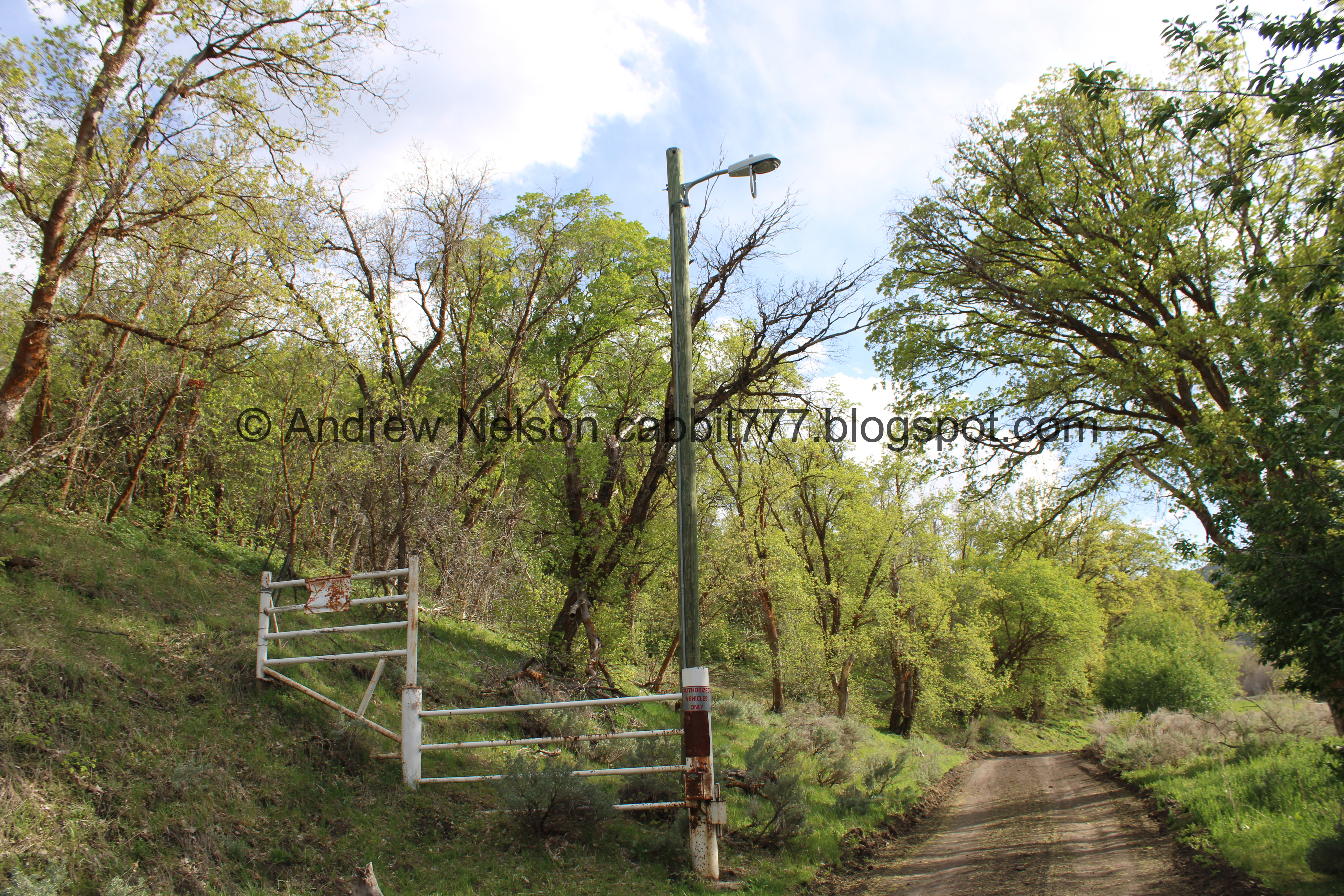
The 3rd gate.

Authorized vehicles only.

Another big clearing.

The 4th gate. Ohhhhh, okay the random no trespassing signs below make more sense, it is Camp Williams property. So anyway, you don’t want to cross this one or go back that way, but the road does continue to the right. This is about 1.5 miles up and makes a good turn around point.

Creek coming out.

Continuing down.

Looking up into the Camp Williams Property. It’s a shame, cause it looks pretty up there.
.jpg)
Panoramic.

Again.

Trees.

I spotted a camera. I bet if you cross the fence you have like, 5 minutes before you have someone screaming and pointing a gun at you. Yeah, I try to avoid putting myself in that kind of situation.

More electrical boxes.

The ridge between canyons. The old dirt road does continue up there as the Butterfield Peaks Road, which also connects to the Water Canyon Connector Trail.
Okay, seriously, time to head on back.

The upper gate.

Old street light that appears to be busted out. It is the only one up this canyon. I imagine it had something to do with the old Camp Williams property.

Heading back down.

Greening up!

More trees.

Continuing down.
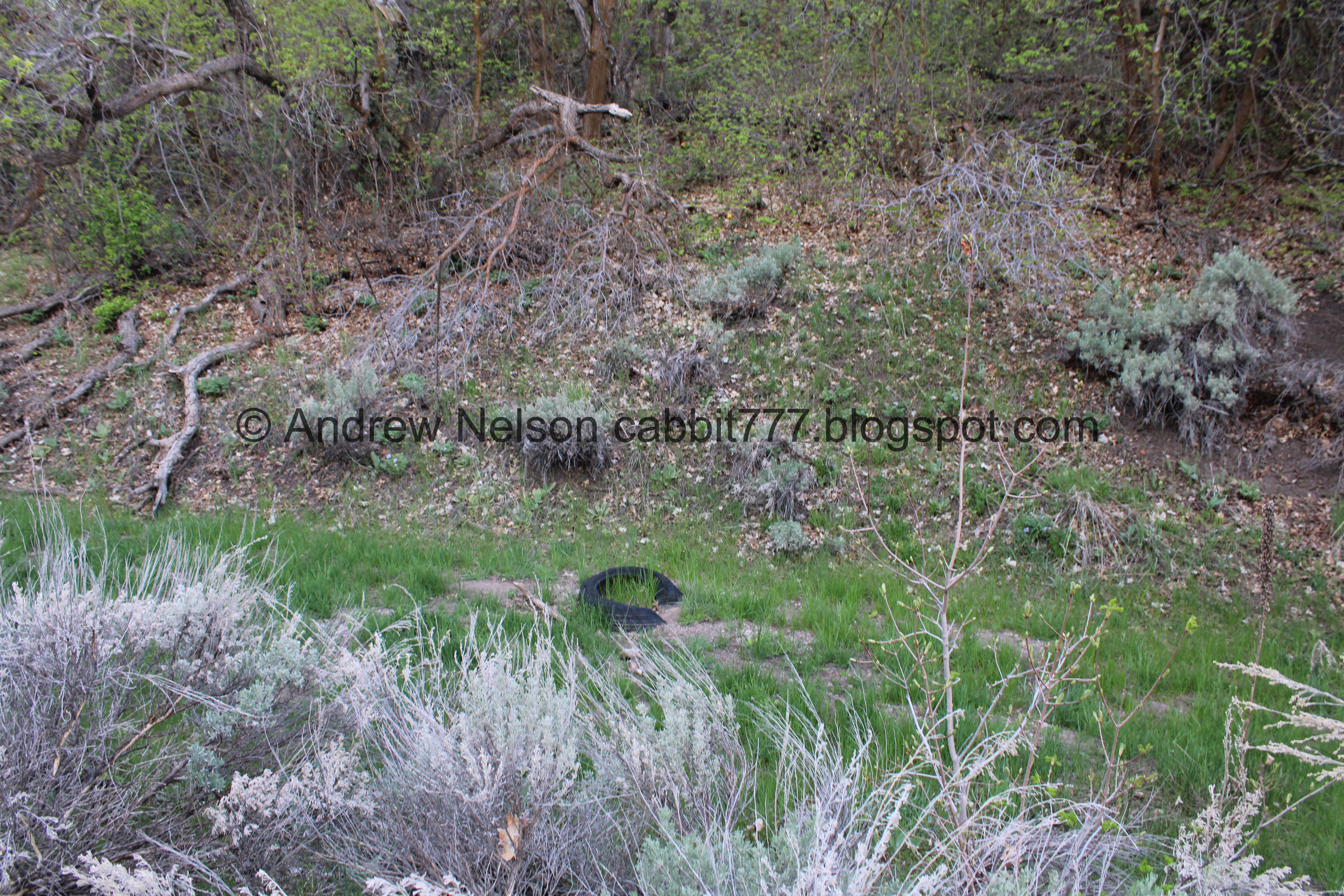
Another random tire.

One of the bigger clearings.

We found another deer friend.

Again.

The meadow.

Another deer friend.

Eventually she spooked. I was kind of hoping to see her jump the fence.


She decided to go through it instead.

Okay, bye!!!!

Okay, continuing down.

Trees.

Where the Water Canyon Connector lets out again.

More trees.

Lots of waterleaf.

I thought I saw some wildlife back there, but it looks like it is possibly propane tanks and such. The woods are so thick here you see something, but as soon as you stop it’s gone haha.

The creek.

Old jeep trail. Between this, and the debris we saw just a little bit ago, I suspect there might be a cabin or something hidden back there.

Continuing along.

Little clearing.

The creek.

The big clearing.

The creek with an analog beaver dam.

Another analog beaver dam.

This looks like an old access road that is starting to return to nature.

Thick area.

Down to the middle gate.

The private area they are currently building on.

Another little clearing.

With some springs.

Trees.

Fluffy clouds.

Continuing down.

Phlox.

The ridge between canyons getting lower. There is a trail along the top of the ridge called Water Fork Ridge that I have been meaning to check out. The map says it is black diamond, which means super hard, but it honestly doesn't look too bad to me. Maybe one of these days I will give it a try.

Almost to the bottom.

The lower gate and the parking lot.

Rose Creek.
Little bonus content:
I wanted to check out the directional pillar that popped up recently.

Bridge over Rose Creek.

Rose Creek coming down Rose Canyon.

Where Yellow Fork Creek joins Rose Creek. They continue downstream as Rose Creek through some private land, before eventually popping up in The Cove at Herriman Springs and flowing down from there. I am still not sure how Rose was decided as the main creek name, as I think Yellow Fork is a little more substantial here, but what do I know?

The fancy directional marker. Actually, I think it is pretty neat with the stained glass and such. It shows each cardinal direction that the 4 sides face. But, I am a little confused by the numbers, what does 30 have to do with East?

South, 06.

South again.

West, AM. Did it just say AM or did it say AM PM, I don’t remember, I was trying to hurry and get a picture before I had someone in it. Doh!

West again, with somebody in it.

North.

North, 14.

East 30 again.
Okay… so if we go the opposite way I did:
6, 30, 14, AM Well, I thought I was on to something. Ending with AM makes sense, and I mean I guess you could argue 6:30:14 AM. But, I mean that is going to be different from week to week so… yeah, I got nothing. I was thinking along the lines of something like Sunrise Mountain Park.
I am not able to find any information on it. So, your guess is as good as mine. But if you figure it out, let me know!

Pops of color on the mountain.

Mountain.
Alright, it is time to find some supper.

What is this (PSP). A wild turkey!

WHOA!!!!! He is a rather colorful and big guy!

Absolutely stunning!!!

He appears to be losing some feathers.
I have never seen one “display” in the wild but have seen a domesticated turkey display at Wheeler Farm.


Super cool sighting today!

Oh, we have a rafter.


I love how they travel in lines.


Then they disperse to look for food.

Mountains on the other side of the valley (PSP).

The Cove at Herriman Springs (PSP).
That was a nice hike, but I was reminded why we generally tend to do Yellow Fork Canyon instead. This canyon was kind of meh. Which is weird, because May if my favorite month to hike! I really enjoy seeing the world wake up from the long winter but this was kind of just.. meh. However, we did not pass a single soul in the canyon so it was a super quiet adventure in the woods. Meh, 7 out of 10 squirrels today.
As for difficulty, it is a very mild climb. DR3.

Dogs are allowed, but must remain leashed. Please clean up after your furry friends.

No comments:
Post a Comment