.jpg)
The Lexie & Ethan Trail can be combined with the Bonneville Shoreline Trail (BST) and Red Potato Trail to make a loop. It features amazing valley views, scrub oaks, wildflowers, and the Red Rock Climbing Crag. I wanted to do this trail to see the top of Red Rock but, my fear of heights lizard brain was just not having it today. We tried from both directions and just… nope. I went back and forth as to if I should post this or not.

Quick Details:
Length: The loop I had planned would have been about 2 miles. We did 1.62 out and back 2 ways.
Trail Type: Loop, if you don’t have a fear of heights.
Difficulty: DR4. This was a climb!
Elevation Gain: Not sure what the full loop would be, but we did about 340 feet.
Restroom: No. Closest one is at the Coyote Hollow Trailhead.
Dogs? Yes, Leashed. But be aware you are near watershed where they are not allowed.
Other Info:
To Get Here:
From i15 Take exit 288, or 14600 S in Draper. Go left. Go almost a mile and turn right on Traverse Ridge Dr. After about 1.4 miles turn left on Mike Weir Dr. Another .4 miles you will see a dirt parking lot on the right.

Fun clouds (Passenger Seat Photography (PSP)).

Red Rock (PSP).
The Trail:

The Red Rock Trailhead kiosks.

Area map.

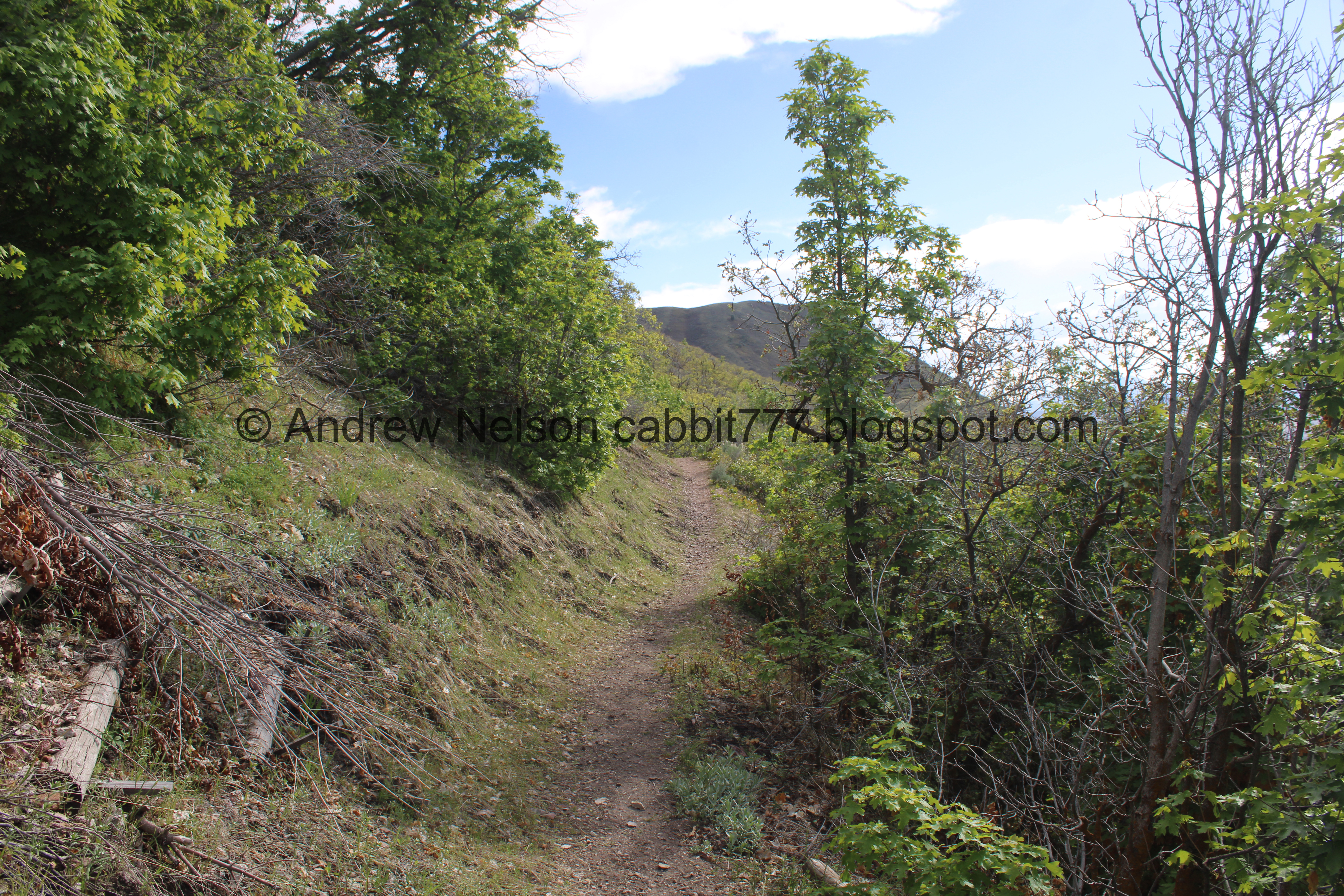
Heading up.

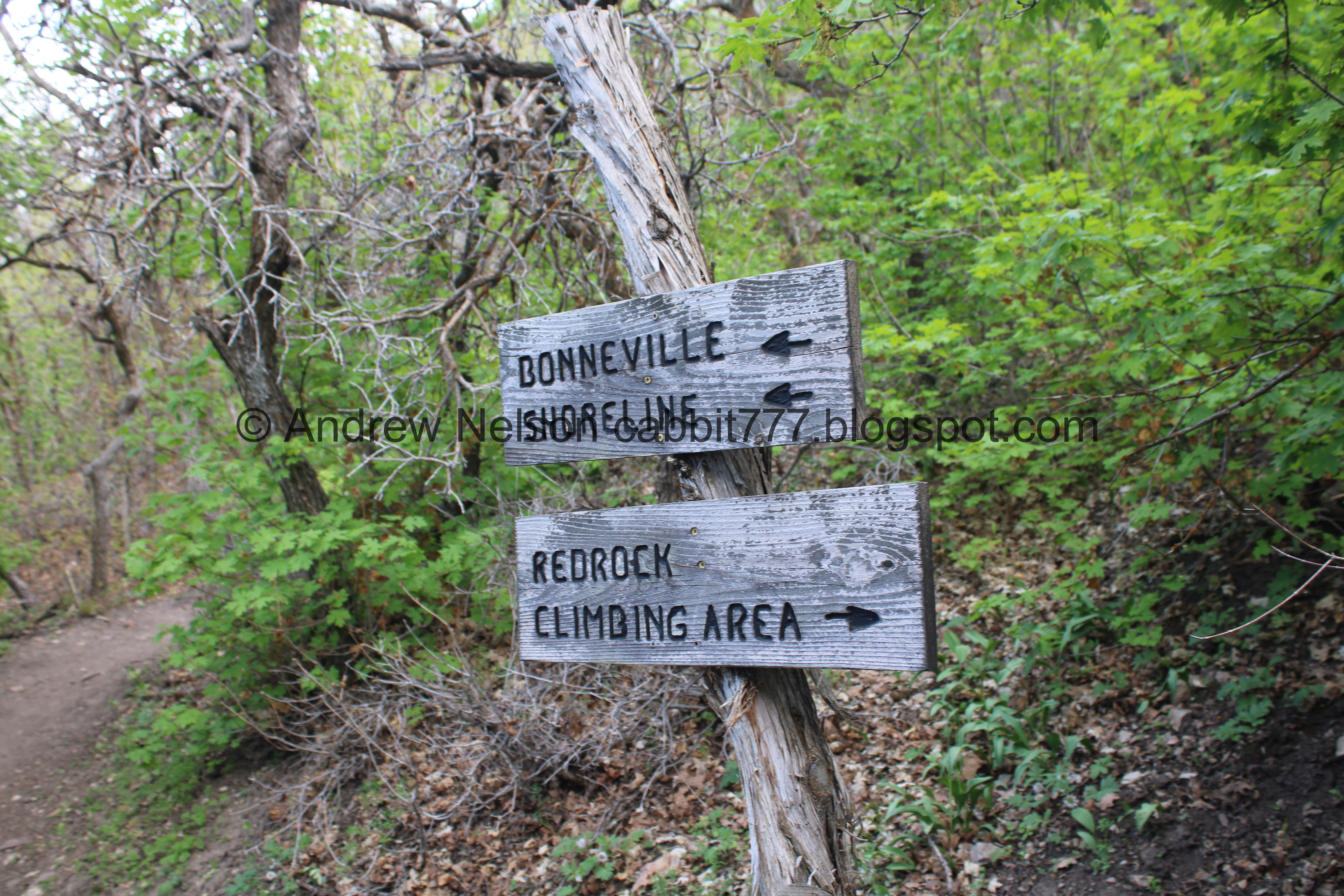
Very quickly you will hit the BST. You want to hang left here. But right is a slightly longer option. Maybe I should have tried that today?

The next split. Left continues along the BST, right is the Red Rock Trail.

Heading up towards Red Rock.

Continuing up.

Little fence. I could think of quite a few more spots that a fence would have been appreciated.

Red Rock above.

Waterleaf.

The trail is quite thin and steep.

Oregon grape.
I think we are past the Red Rock turn off here. I didn't get a picture of it today.

I knew I would struggle on this trail but I really wanted to see the top of Red Rock. However, the thin trail is just proving to be too much for me right now.

Sometimes taking a break helps. Taking in the view of the valley below.

You can see The Claw.
After this I decided we should turn back. I have done this section before, but today the lizard brain was just not having it. Hindsight being 2020, I might try again using the BST trail below. Which would add less than 1/10th of a mile.
We decided to try from the other side. I am familiar with a lot of this side, so I thought it might be better.

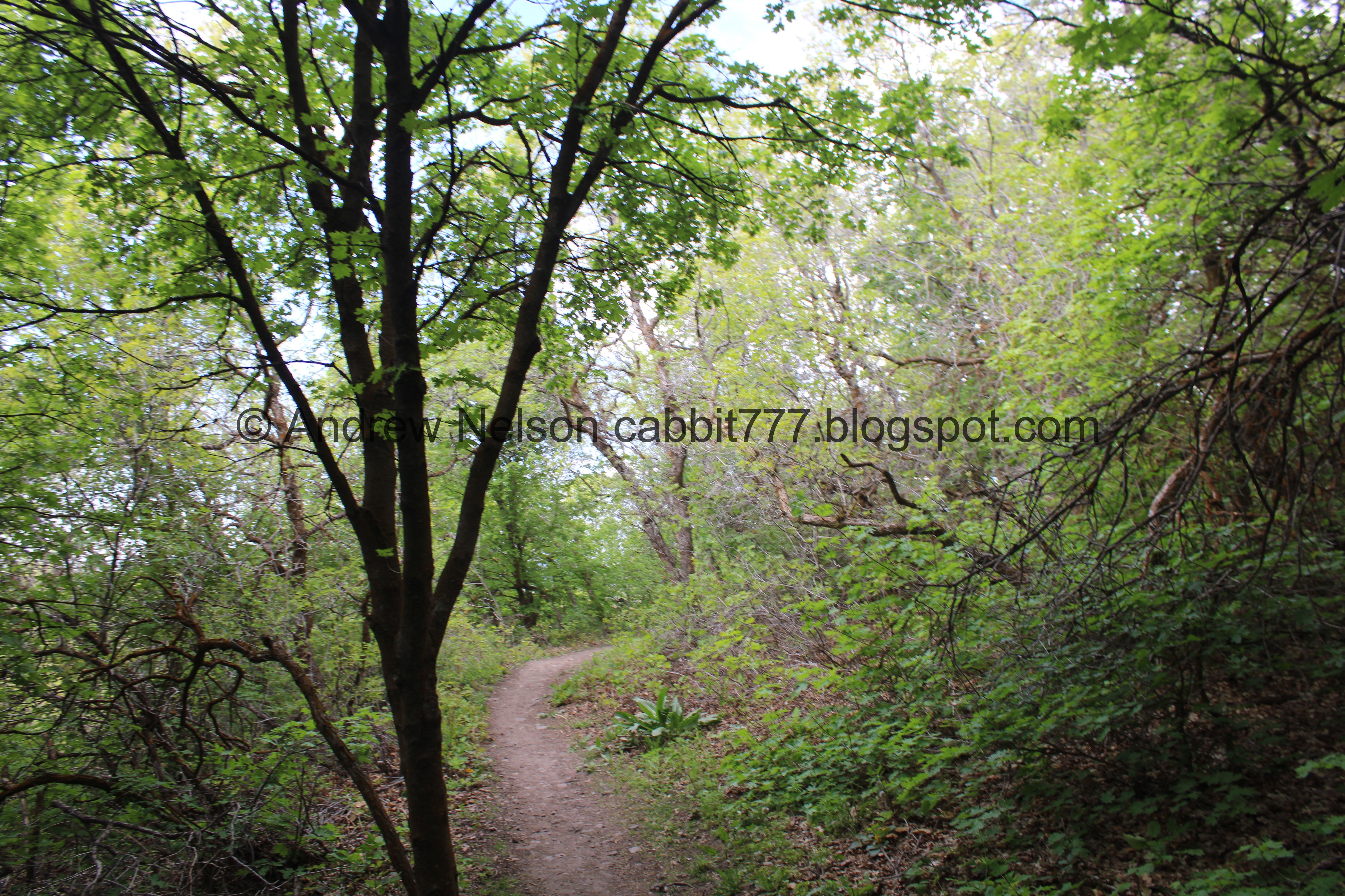
Super green right now.

Lots of scrub oak.

Swampy area with a little bridge.

Downhill.

Little pipe with water coming out. I would still absolutely filter any water coming out of it.

Uphill is more green and happy looking.

Whoa. I didn’t expect to find this lush oasis here. Wow.

Oregon grape.

Super pretty.

More Oregon grape.

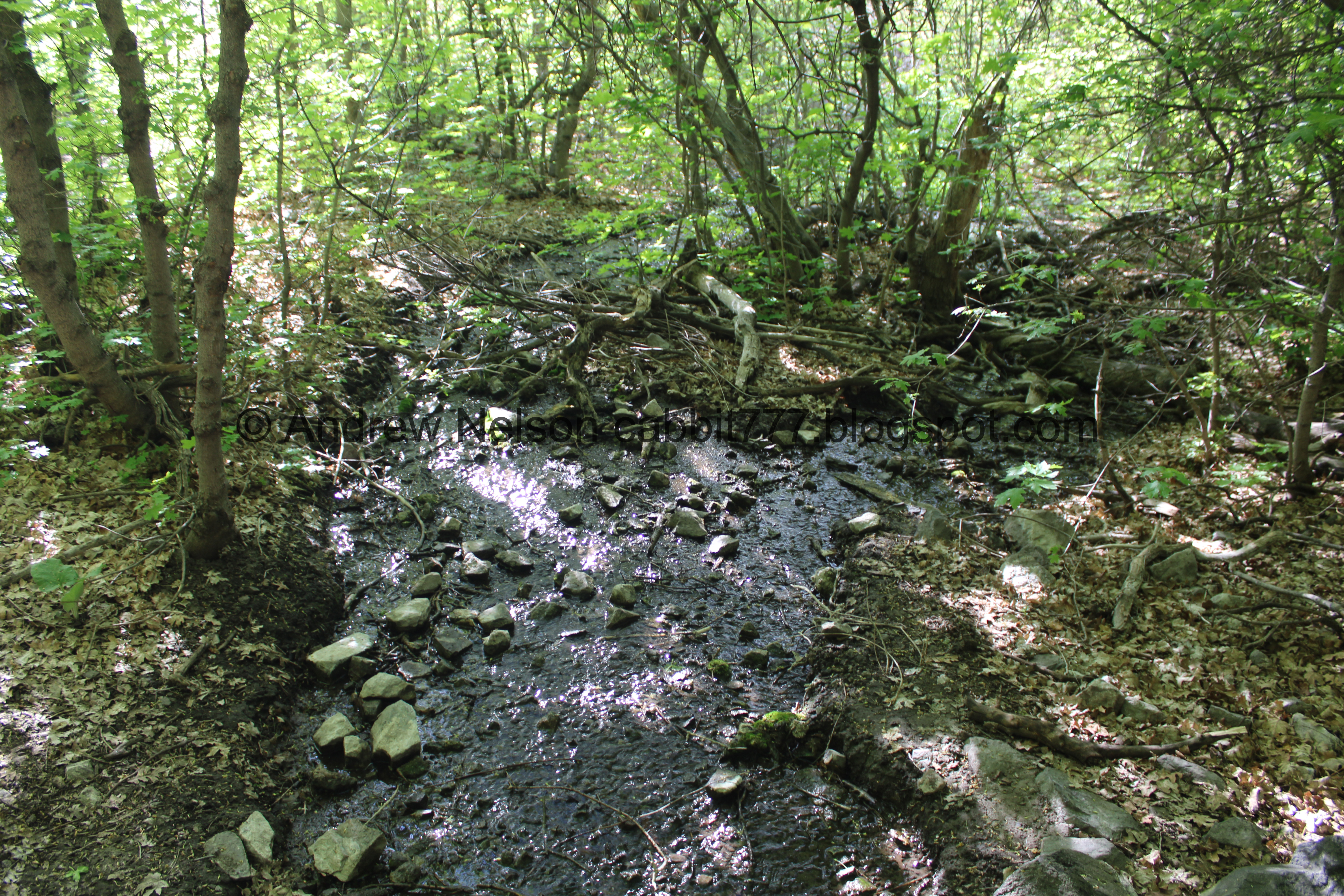
We could hear water running, and eventually found this little stream. It does not appear to be named, but it looks like it flows down into Spring Hollow so maybe it is a bigger spring?

Little bridge over it.

The stream has worked itself down into a pretty deep little gully. It kind of made me question how secure the bridge is.

But it held us.


A couple cascades upstream.

Downstream.

Lots of Oregon grape.

The valley.

Super green tunnel.

Another spring. Wow, there are quite a few through here.

Upstream.

Downstream.

Another trail split. I have not heard of the South Mountain Overlook before. I wonder what that is.
Pretty forest.

A gnarly burl.

More pretty forest.

Then it opens up a bit.

The valley.
.jpg)
Panoramic.

If you look closely you can see The Claw.

The trail and Potato Hill above.

Again.

The Red Potato Junction. Okay, I am familiar with this section. We are going to go right on the Red Potato Trail for about 3/10th of a mile.

Ballhead waterleaf.

Potato Hill.

Little wetland.

Faded glacier lilies.

More waterleaf.

Another spring crossing. This one is a double.

Neat itty bitty waterfall in the first one.

The valley.

Uphill. I'm still pretty sure there was an avalanche or landslide here recently.

The second streambed is dry.

The valley.
.jpg)
Panoramic.

Switchback.

Itty bitty white flowers.

The climb up.

Crossing the spring area again.

The slide area again.

Spring Hollow and The Valley below.
.jpg)
Panoramic.


Continuing the climb.

Some kind of pea.

Larkspur.

Starting to question if I can do this trail. Holy crap that looks a bit intense.

That doesn’t look much better.

Deer butt!

However, this section is nice.

I think this is a camas.

Trail split to the Lexie & Ethan Trail to the right. Left will continue up the Red Potato Trail towards the Potato Hill Trailhead.
I found an article (outside link) that explains Lexie and Ethan were members of the Corner Canyon Mountain Bike Team and unfortunately died in a car accident in 2016. It is nice that Draper honored them.

A penstemon and some other plants.

The trail goes right next to Traverse Ridge Road.

Between this, and what I saw upcoming, it was just a no today. The lizard brain woke up and decided it was not happening. I have done worse, including the upper section of the Red Potato Trail we were just on, but lizard brain said no today. I am half wondering if if there is like.. a bank that I fill up for tolerance for it, and I used my bank last week? Meh, the lizard brain is irrational, so probably not. Anyway, this made me decide it was time to turn back. I was a little mad though, because the entire reason I decided on this trail today was to see the top of Red Rock. Meh. I am not ruling out another attempt.

Another camas.

A group of them.

Closer.

Back to the Red Potato Trail.

The valley.
.jpg)
Panoramic.

The deer is still there, getting it’s munch on.

13th East heading north.

Heading down. Potato Hill above.

Back to the double spring scar.

The wetland heading down the mountain.

At the switchback.


The double spring wetland area again.

Crossing it.


I love the foothills this time of year. So green and pretty.

Into the lush hollow again.

Super pretty.

Another spring.

Upstream.
Downstream.

Super green.

Oregon grape.

Lots of them.

Back to the big spring.

Upstream.

Again.

Continuing down.

Again.

Big patch of waterleaf.

The lower spring.

With the little pipe.

The lower trail split.
Well, I am a little bummed that I couldn’t get myself through it today. However, I think I would like to try again. It wasn’t too busy, and well I really enjoyed the unexpected lush section. 6 out of 10 squirrels.
As for difficulty, it was a bit of a climb DR4.

Dogs are allowed, leashed. Please clean up after your furry friends.

No comments:
Post a Comment