.jpg)
The Little Cottonwood Trail is a nice trail that goes from the mouth of Little Cottonwood Canyon up the canyon. The trail features amazing soaring granite cliffs, a lovely forest, and Little Cottonwood Creek. It is a pretty easy, gentle climb and is an excellent way to explore the canyon at your own pace. This is another one of my go to trails that we do fairly frequently, particularly during the colder months.

Quick Details:
Length: The TH sign says it is 2.8 miles (I think it is actually longer than that) but we did 3 out and back today.
Trail Type: Out and back.
Difficulty: DR3. It is a pretty mild climb.
Elevation Gain: The posted elevation is 1090 but we did about 500 feet today.
Restroom: yes, there are pit toilets at the trailhead.
Dogs? No. Little Cottonwood Canyon is watershed.
Other Info:
To Get Here:
Take i15 to 90th south in Sandy. Head east, go past Wasatch BLVD and look for a parking lot just to the south of where the 2 roads join and become Little Cottonwood Rd.
The Trail:


The cliffs to the south at the mouth of the canyon.

Trailhead sign.
Huh, this Adopt A Trail sign appears to be new.

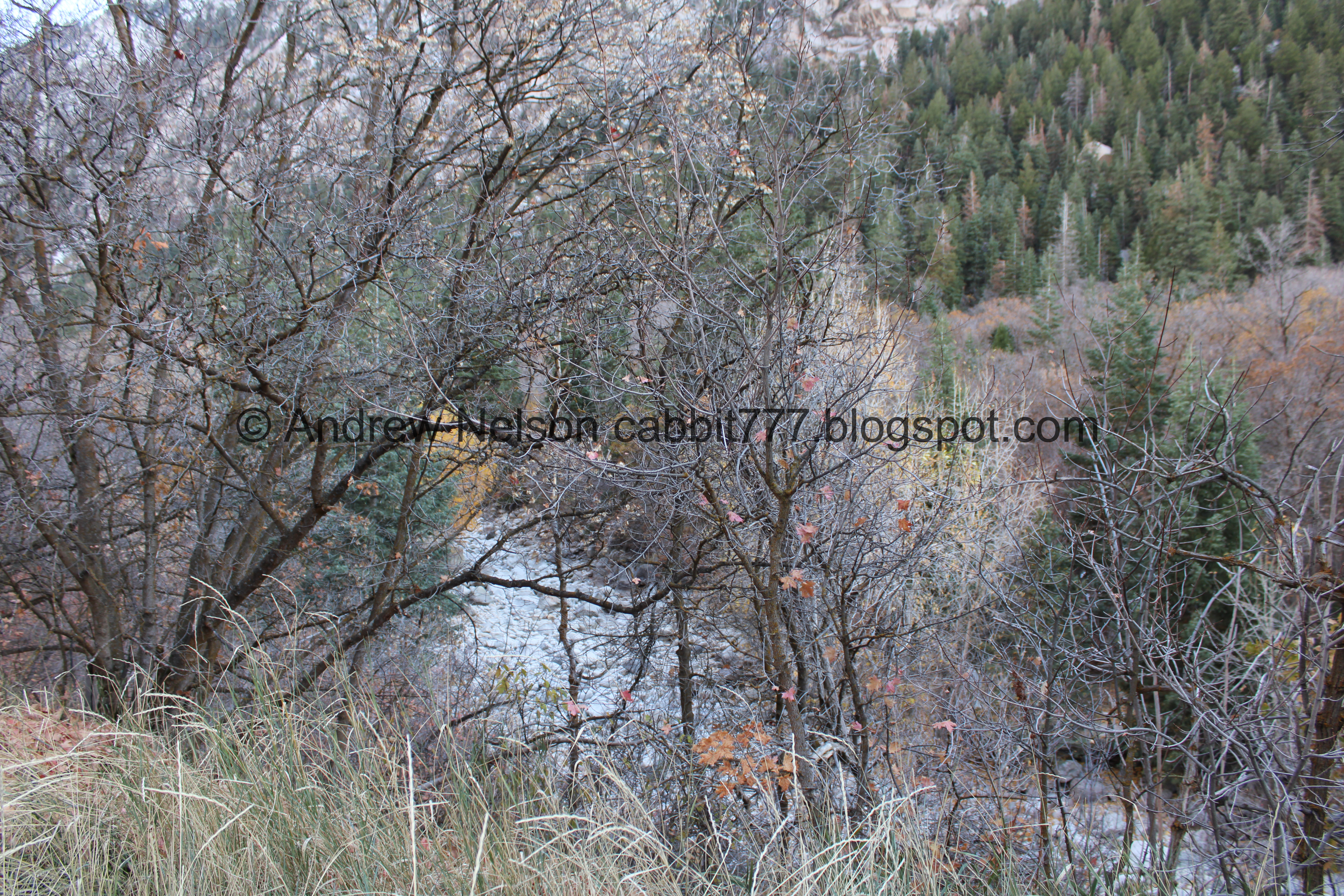
Heading up the canyon.

More cliffs.

I love the ephemeral waterfalls.

Little closer.

For the most part the color appears to be done for the year. But there is a little bit left to enjoy.

View up canyon.

Interesting rock outcropping.

Cliffs to the north.

Crazy ass rock climbers. These guys are REALLY high up.

Cliffs to the north again.

Cliffs to the south.


Little patches of color.

South cliffs.

North cliffs, with more crazy climbers.
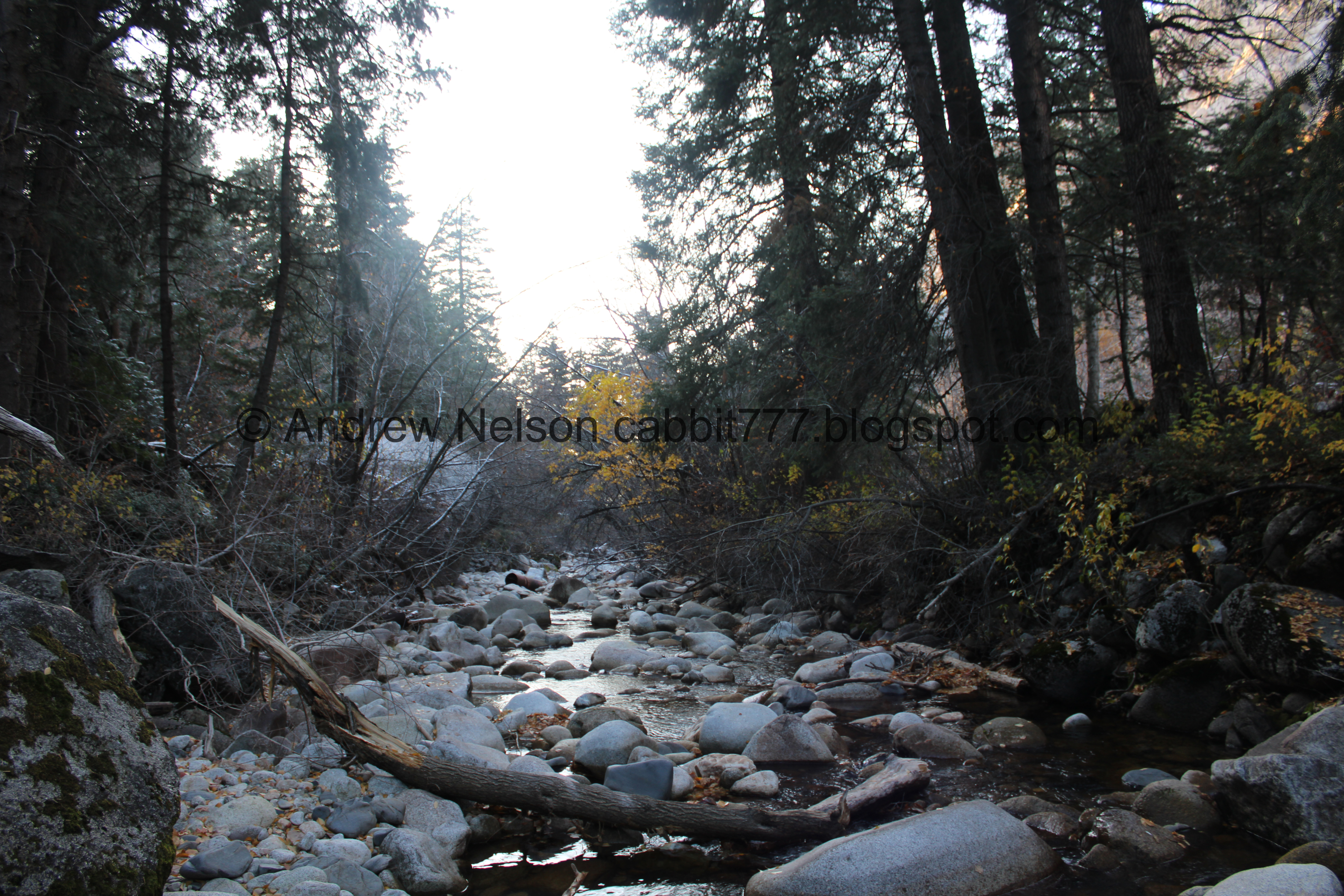
The creek is bone dry down here.

North cliffs again.

The not at all creepy LD$ Records Vault.

Some of the formations near the top look like gargoyles.

Some nice yellow.

Old machinery of some sort.

Old pipe.

The view back down the canyon.

Autumn decorated tree.

The trail crosses through this neighborhood real quick. There are signs to keep you on track. Left fork here, then the right fork.

South cliffs.

Sad sunflowers.

There is water here at the power plant. I guess this is where it is diverted.

The trail continues up to the left of the powerplant.

Little bit more color.

Snow! This far down already? Eep.

The creek below.

The trail again.


Some more color.

The trail again.

The old pipe again.

Some serious damage that happened during our epic winter last year.

Pretty alcove.

More color.

Little waterfall.

The creek.

Less crazy rock climbers. Sure, a fall would still be pretty brutal here if something went wrong, but not an immediate splat. See these kinds of thoughts are why I do not do that particular sport.

The first bridge over the creek.

Above the little waterfall.

It seems a little early in the year for icicles, but here we are.

Downstream.

Upstream.

They tried really, really hard to harvest this rock. You can learn more about this at the nearby Temple Quarry Trail, which actually shares the parking lot for this trail.

Little more color.


Hitting quite a bit more snow than expected today.

Before long we reached Moon Rock.

There was a lesser attempt to harvest this bad boy too.

A tale of two seasons.

Mossy rock.

Another giant boulder.

The site of the old pavilion that was torn down a few years ago.

The old pipe we used to cross as teenagers to get here. I still can’t believe I used to do that.

Oof, lots of snow.

The creek again.

Continuing up the trail for a bit.
Well, we made it to 1.5 miles, and decided that was good enough for the day. The trail does continue up for a bit, but it was cold in the shadow of the mountain today so we called it and turned back.

Leaf litter.

Piece of old pipe.

Little side stream.

The pipe again.

I still can’t believe I used to cross over this as a teen.

Another mossy rock they also tried to harvest.

Back down to Moon Rock.

Neat dual waterfall.

Spillway over Moon Rock.

Upstream.

The other side of Moon Rock.
Downstream.

Upstream, with the dual waterfall again.

A little closer.

An epic candelabra tree! Wow! Look at that thing! Candelabra trees, as I have come to know them, are caused when the leading branch falls over, and some of the branches become new leading branches. There are a lot of fun examples of this in The Redwoods, particularly Trees of Mystery.

Portrait mode to capture it all.

Cliffs to the south.

Snowy trees.

Cliffs to the north.

The creek.

Again.

Back down to the bridge.

Continuing down.

Some nice reds.


Little colorful section.

Cliffs to the south.

More color.

Nice yellows.

Back down to the power plant.

Cliffs to the south again.

More old machinery.

Looking out of the canyon.


More color.

Cliffs to the north.
.jpg)
Panoramic.

Cliffs to the south.

Little more color.

The crazy rock climbers.

Some nice yellow.


Mixed color.

Cliffs to the south again.

There is just something so neat about walking by these soaring cliffs.

More color.

Looking out of the canyon again.

The Temple Quarry Trail shares a trailhead here. Its kind of neat too.

Back to the parking lot.

Cliffs to the south again.
.jpg)
Panoramic.

More color.

Crazy rock climbers again.

Little smidge of sunset on the way home (Passenger Seat Photography (PSP)).
I still really like this trail and hope to be able to enjoy it for years to come. Hopefully it is not ruined by an asinine gondola no one wants. Anyway, it wasn’t too busy today, and it was just pretty. Though with the cold weather I wish I had opted for something a little more sunny today haha. 8 out of 10 squirrels today.
As for difficulty, it is a pretty gentle climb. DR3.
Dogs are not allowed in Little Cottonwood Canyon so be sure to leave Fido home.

No comments:
Post a Comment