.jpg)
This section f The Jordan River Parkway is actually kind of nice and peaceful, for the most part. It goes by some soccer fields, and the Jordan River OHV State Recreation Area so it is pretty quiet. It also offers some nice views of downtown Salt Lake City. You will pass from Salt Lake County into Davis County too. I had reason to be in this part of town so I thought I would revisit this section.

Quick Details:
Length: It is about 2 miles from 1800 N to i215. I went an extra half mile, and then some for about a 5.5 mile out and back, with a small spur.
Trail Type: Out and back, connector.
Difficulty: DR2. It is paved and pretty flat.
Elevation Gain: About 60 feet.
Restroom: No.
Dogs? Yes, leashed.
Other Info: JRP Mile Markers: 43, and 44. Cities: Salt Lake City, Unincorporated, North Salt Lake. Counties: Salt Lake and Davis.
To Get Here:
Take i215 to 700 North. Head east, turn left on Redwood. Rd. Go about 1.6 miles and turn left into the trailhead parking. It is directly north of the middle school.
The Trail:

Trailhead sign.

Informative sign.

Fish sculptures.

Bridge over the river.

Downstream.

Upstream.

The river.


Mile Marker 43. I know this makes me sound crazy, but the reason I redid this section again was to collect pictures of the last mile markers. Last time I did this section I did not know that I would eventually do the entire trail so I didn’t care about them, but now I do. I know, it's weird.

The river again.

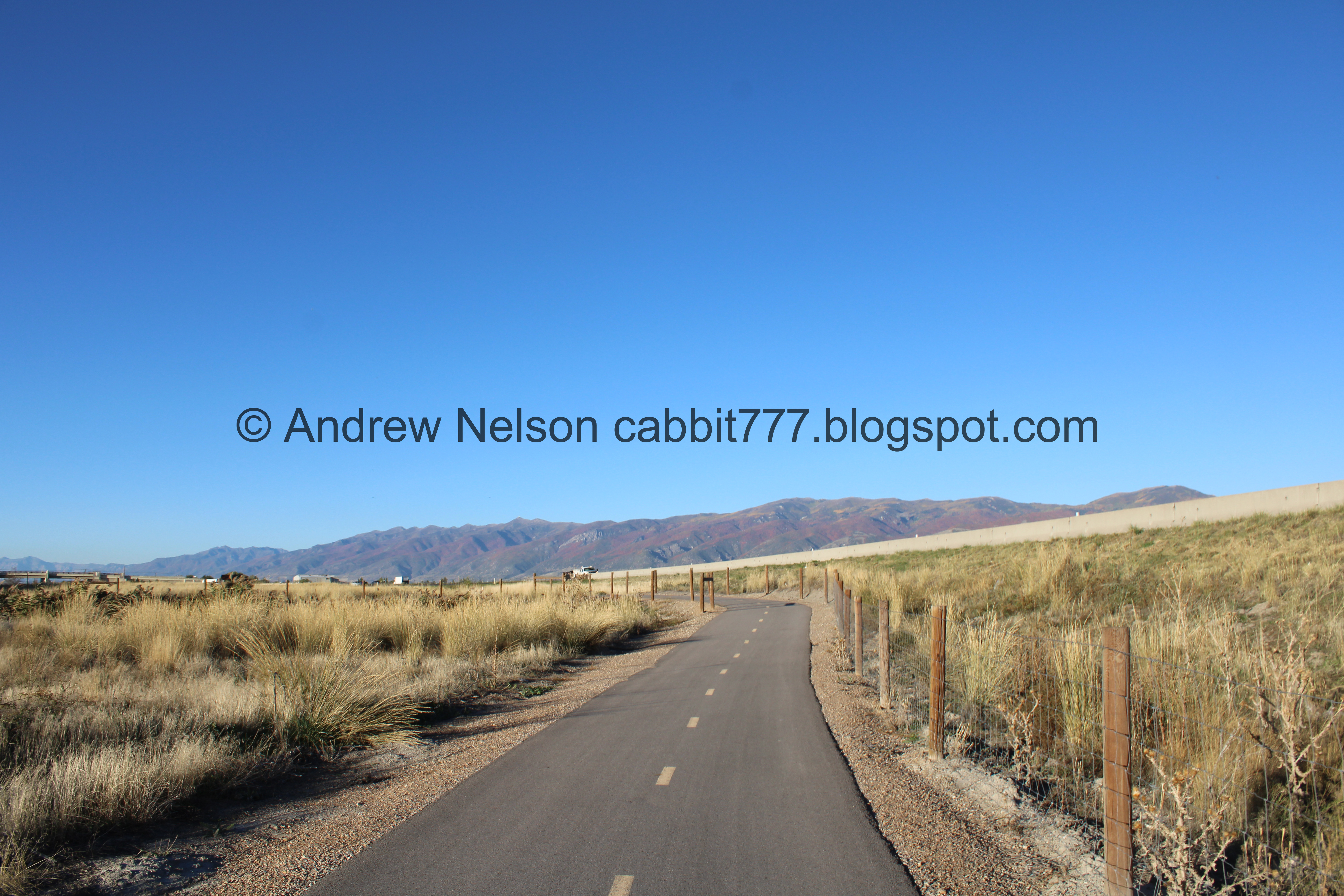
The trail.

River again.

For some reason the river is fenced from the trail in a few spots here. I can think of several areas, even along this section, that would better benefit from a fence then here.

View towards Ensign Peak.

Some white daisy-like flowers still hanging on.
Little swampy area.

Starting to get a view of downtown Salt Lake City.

There is a long boardwalk across this marshy spot.

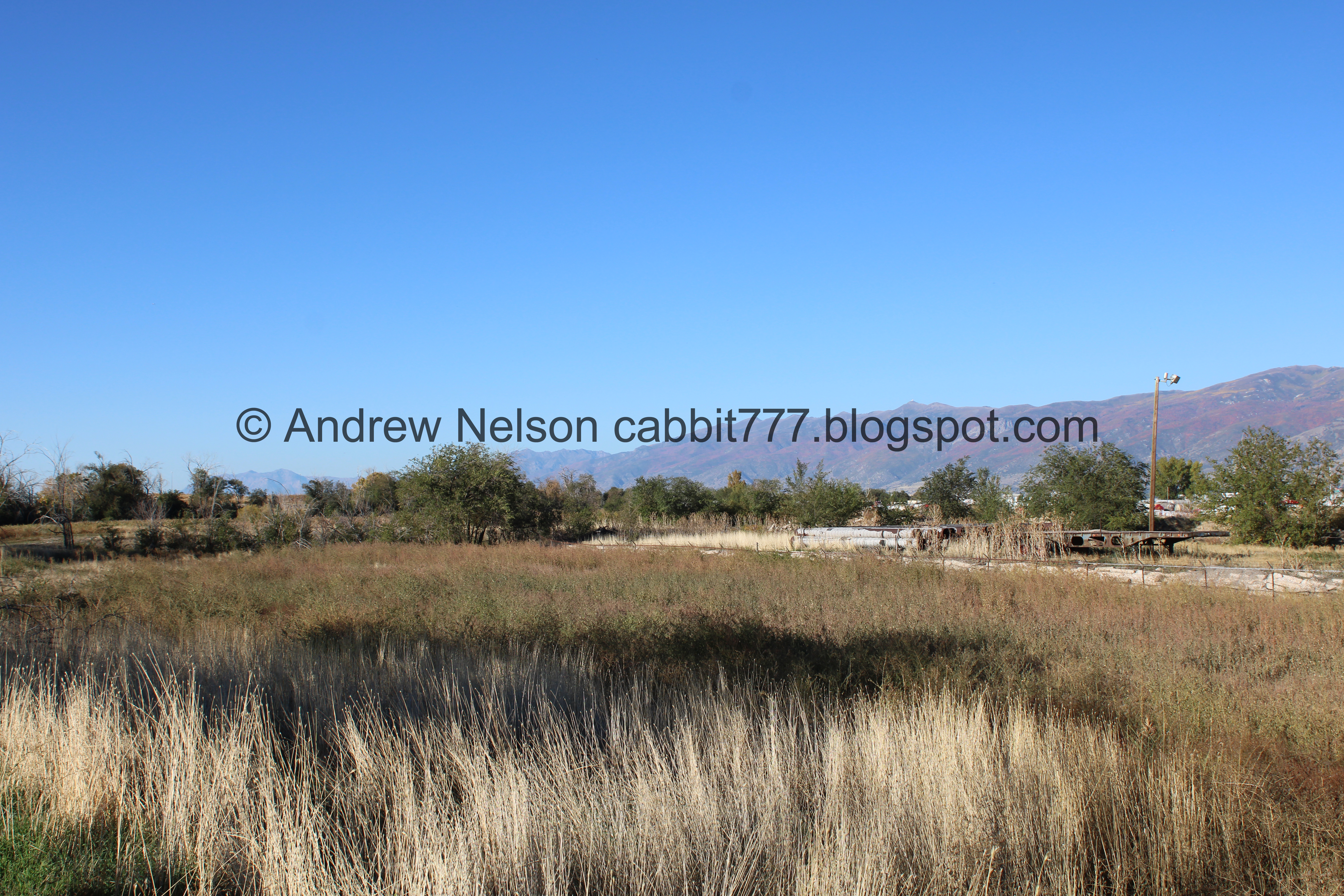
The marsh.

More boardwalk.

The mine scar on north point of the mountain.

Back to the cement.

Sign about how they have found a much more successful measure for planting trees along the river by selecting a smaller canopy, and deeper roots.

Looking towards downtown again. Lots of cranes right now.

Surrounded by phragmites.

Entering an unincorporated area.

Immediately into Davis County.

Which coincides with this “Chevron Mile” which is the final, north mile of the Jordan River Parkway.

Lovely forested section.

Beaver activity. I love with how much our ancestors disregarded and abused the river, that all along the way you can see signs that beaver are still here.

Bend in the river. I decided to go check it out.

The river.
.jpg)
Panoramic.

More beaver activity.

Back on the trail. This section has been nice and pretty quiet so far. You can hear the distant sound of the freeway, but through here it isn’t too bad.


Mile Marker 44. This is the last mile marker on the Jordan River Parkway. As you will see, I think I was pretty thorough looking for the non existent 45.

Another riverbend.

Better view of downtown.

This looks like the aerial targets we have seen on roads, but just a bit smaller. I imagine it serves the same purpose.

The river again.

The Jordan River OHV State Recreation Area on the other side of the river.

This section is next to Redwood Rd for a bit. It’s not very busy through here though.

Starting to see the colorful mountains above Bountiful.

More beaver activity.

The Jordan River OHV area again.

Entering North Salt Lake.

This is another spot you can pick up the trail at the Pony River Express RV Resort.

The river again.

Old structure across the river.

Passing the RV resort.

One of the sadder things I remembered about doing this section last time was there is a lot more garbage this far down river.

Continuing along.

The river again.

More phragmites.

As we get closer to i215 the noise increases.

We reached the end of the Chevron Mile.

And the beginning of the Legacy Parkway Trail.. Although, it would seem the beginning and end of both trails are a little fuzzy… although I believe this was the original connection, and what shows on the official map as the end. It will also be the 2 mile mark. I kept going on the hunt for the illusive mile marker 45 (which does not appear to exist).

Tunnel under an off ramp from i215.

This part is a little unnerving between on and off ramps and of course i215. Lots of high speed traffic on all sides.

This is one of the things I saw that made the lines a little blurry between trails. Hind sight coming to me now, I do recall Salt Lake County has been adding boat launces in the last few years. So I wonder if this is just them doing due diligence to ensure they cover a final river outlet boat ramp? Just conjecture really but that makes some sense.

Heading under 215.

Then the trail is next to Legacy Parkway for a minute.

Mountains above Bountiful again. Also, this appears to the a sewage canal. Yay… o.O

Continuing along the Legacy Parkway.

Fancy bench.

Some sad sunflowers. They are finally winding down for the year.

Colorful mountains.

Looking towards Center Street where the Center Street Trailhead is located. I did not make it that far today.

The strip mine in North Salt Lake. It still blows my mind that people were willing to buy homes above it. That is a whole lot of nope for me, for several reasons.
.jpg)
Quick panoramic.

Mountains again.
Well, I made it to about 2.5 miles, a good quarter mile past where I expected the 45 mile marker should have been so I concluded that even though the trail is 45.3~ miles long, the last mile marker is 44. So I think I can consider my collection of (pictures of) the mile markers is finally complete. Isn’t it weird how we want to complete collections sometimes? Well here was my weird compulsive need to complete a collection, even after I had considered the trail completed.

Colorful mountains again.
.jpg)
Panoramic.

Heading back under i215.


I decided to go a little ways down this connector trail to double check I didn’t miss Mile Marker 45.

Heading under Legacy Parkway. There are a bunch of cliff swallow nests.

Some kind of canal.
Continuing along the connector trail.

The Salt Lake Sewage Canal. o.O

Where the 2 connect.

I think I made it back to the Jordan River. It’s a little hard to tell here due to all the intersecting and connecting canals.
I decided I had gone far enough to confirm no Mile Marker 45, so it was time to turn around.
However, I did find a new loop to do should I find myself in this area again. Start at the Center Street TH, Down The Legacy Parkway, Up this Connector, then across Center Street to the TH again.

Colorful mountains again.

Flock of geese.

Phragmites.

Back to the main Jordan River Parkway.

Still amongst the freeways.

Stinkbug.


Back under i215.

Back to the Chevron Mile.

Back to the Jordan River.

The neighborhood above an the strip mine.

Plane taking of from the airport.

The river again.

Old structure in the water again.

Leaving North Salt Lake and entering an unincorporated area.

The river again.

The Jordan River OHV Recreation Area again.

Starting to get a nice view of downtown.

Again.

Decided to pull out the telephoto lens.

Little closer. The usually easily identifiable temple is covered in scaffolding right now, but it’s in there.

The Capitol.
.jpg)
Panoramic.

Some color on the river.

Downtown again.
I think this is my favorite shot of the day. Its a pretty good view from here.

The river again.

Downtown again.

Panoramic.

Riverbend.


Back to Mile Marker 44.

The trail again.

Gnarly tree.

Beaver activity.

I think this is where the 2 counties connect.

Immediately into Salt Lake City.

The river again.

The trail.

Cranes, cranes galore.

Back to the boardwalk section.

Going around a corner.

I could hear the distinctive call of a kingfisher. Terrible shot, but honestly I didn’t think I was quick enough to catch him at all today so I’ll take it. Kingfishers are one of my favorites! I just love their mohawks and their distinctive rattle.

Some color along the river.

The strip mine again.

Back to cement.

There is a faint trail leading around the other side of the marsh, and looking at the map it looks like there is a pond back there. So, if you want to explore a bit more there is an option.

Ensign Peak again.

Downtown again.

Sign warning not to feed the birds right now due to Avian Flu.


The river again.

The trail.

There is a gigantic soccer field complex on the other side here.

The radio tower for the airport.

Bizarre looking seedpods.

Seriously, what are these?

Mile Marker 43 again.

The river again.

Over achieving branch.

More color.

Back to the bridge.

Some flowers hanging on.

Crossing the bridge.

Downstream.

Upstream.

Back to the parking lot.

The neat fish sculptures again.
I am really glad I came back and redid this section. I got my missing mile markers, yes, but also it was a pretty nice section that was mostly pretty quiet that was very much worth coming back during the warmer weather. I also loved the views of downtown. It was not very busy either. Going with 7 out of 10 squirrels.
As for difficulty, it is paved, and mostly flat DR2.
Dogs are allowed, but should remain leashed at all times.

No comments:
Post a Comment