.jpg)
Spruces Campground is a lovely campground located in Big Cottonwood Canyon. It features numerous developed campsites that all features firepits, and picnic tables, plus room to set up camp. There are several little streams, as well as Big Cottonwood Creek. There is also access to a few nearby trails, although we only found 1 of the 2 that I am aware should connect to it. The campground is closed for the season, so we thought we would come up and explore the area. However, being unfamiliar with the area, we ended up only exploring the lower of 3 main loops.

Quick Details:
Length: We did about a mile around the lower loop, with some extra exploring.
Trail Type: Loop.
Difficulty: DR2. It was super easy, pretty level and paved.
Elevation Gain: About 200 feet.
Restroom: Several, but they are closed for the season with the campground closed. nearby Mill D is probably still open.
Dogs? No. Big Cottonwood Canyon is watershed.
Other Info:
To Get Here:
Drive about 9.8 miles up Big Cottonwood Canyon from Wasatch BLVD. The campground will be on the right, and is signed.

Mountains (Passenger Seat Photography (PSP)).

Mount Olympus (PSP).

Big Cottonwood Canyon to the left, Ferguson Canyon to the right (PSP).

Into the canyon (PSP).


Some great color left (PSP).

Cliffs (PSP). I have been meaning to stop at this pullout for the Bonneville Shoreline for a minute now, it just hasn’t happened yet.

Thankfully they are still suspending the construction during the weekends (PSP). I honestly can’t wait for them to be done with that.


More canyon (PSP).

Approaching the S curve (PSP). Mill B South is quite busy today!

More canyon (PSP).

I knew we got snow in the mountains from the last storm, but did not expect to see it this low (PSP).

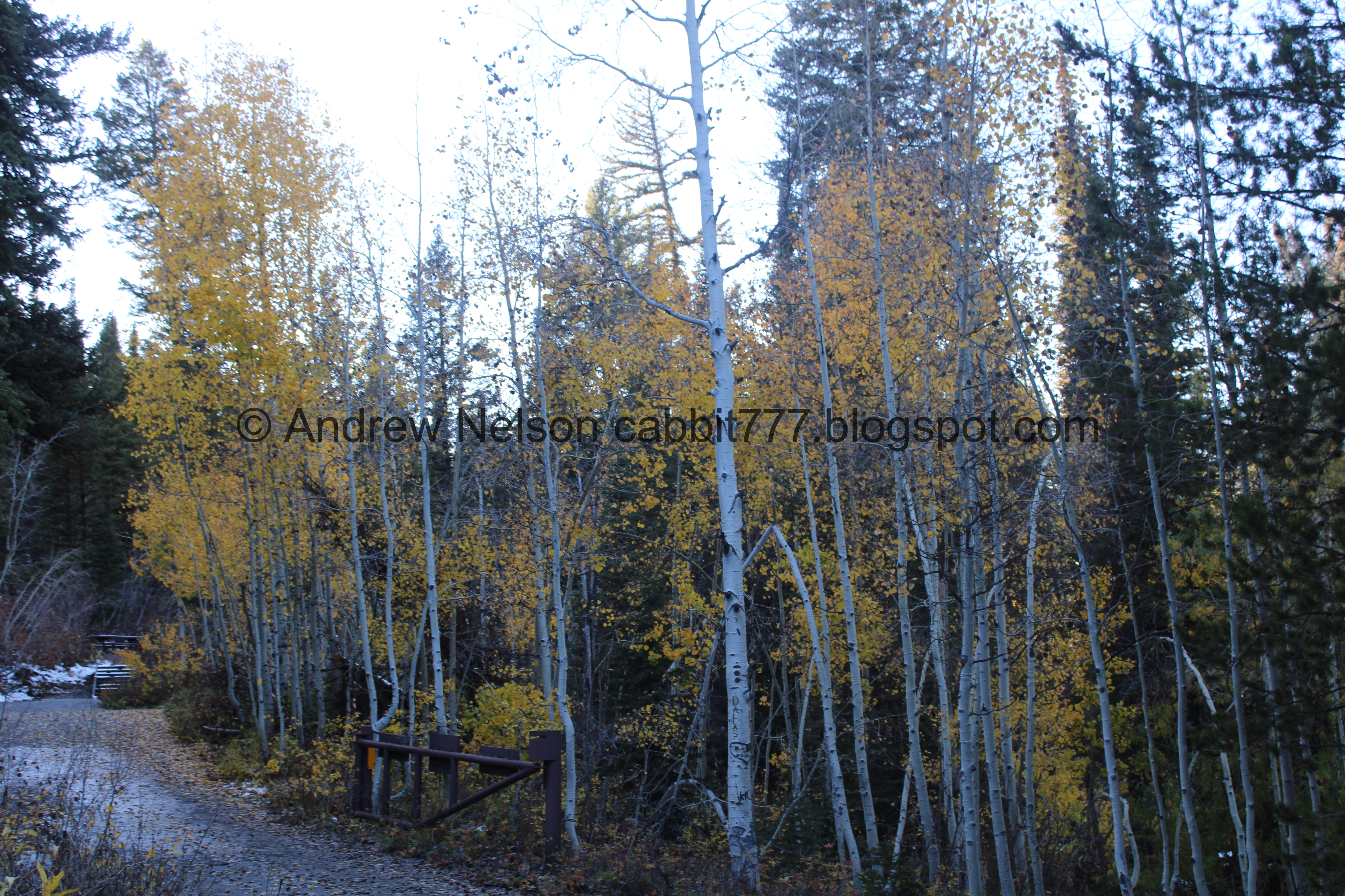
The aspens are starting to fade (PSP).
The Adventure:

Well, I thought there would be more aspens to enjoy up here, but it looks like the last storm did a number on them.

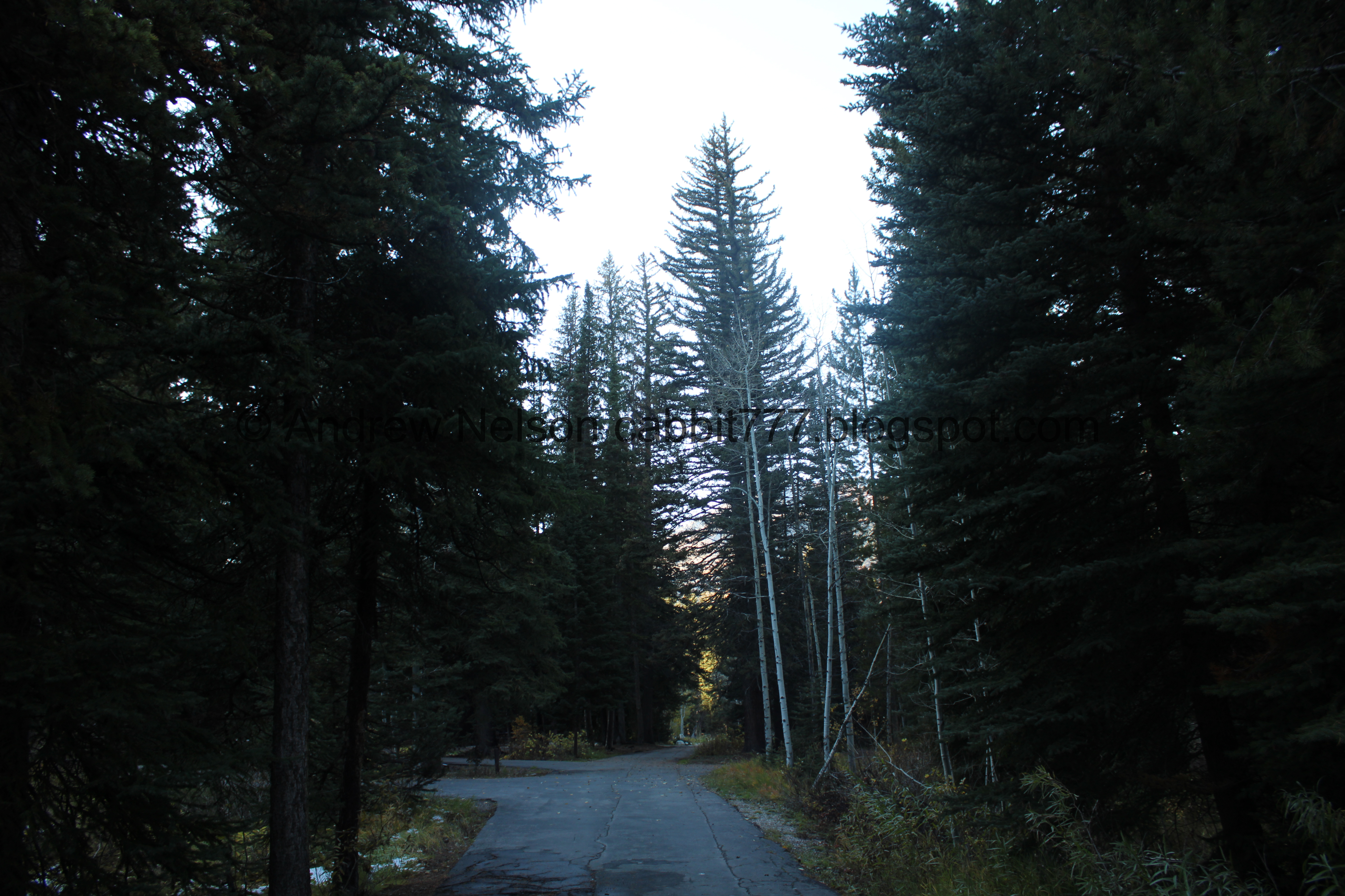
Mixed trees.

The lower loop road.

The first of many little streams.

Yep, the aspens are pretty bare. Darn.

We found the Days Fork Trailhead. I’ve been meaning to check that out sometime, but not today.

It looks a little steep, at least here at the beginning.

An old cabin.

More sad aspens.

Another little stream. Since it recently snowed, I am not sure if they are ephemeral, or if they regularly flow.

Continuing around the loop. This looks like a nice campground. Maybe we’ll plan a trip next year.

Stream #3.

#4.

I think this is downstream.


#5. Wow! I was really surprised by all the little streams through here.

Trees.


WHOA!!! I think I found my first larch trees! Larch trees are a deciduous conifer. Or, a conifer, needle baring tree that changes color and looses its needles in autumn. I didn’t think we had any in Utah.

I had to get in closer.

So cool!
I stumbled upon some interesting history. Between 1905 and 1920 this was the site of the Wasatch Nursery which was charged with finding the best kind of tree's to plant in the canyon. Among others Larch trees were planted, and this stand has remained for over 100 years!
It says that by 1900 there were few trees left in the canyon and erosion caused problems with drinking water downstream. So the nursery was started. They grew many types of trees. Eventually growing over 250,000 seedlings.
Then in 1921 the forest service opened a community camp here.
It also says Larch are not native to Utah, so I guess that is why I have not had much luck finding it until now. But this was neat.
What a fun little bit of history! You can read more here (external link).

Closer look at the needles.


I love them!

Continuing around the loop.

More trees.

Peak on the other side of the canyon.
Some aspens near the lower, lower loop. We didn’t explore that loop.

More.

The developed campsites are pretty nice.

One of the little streams again.

Where 2 smaller streams join a larger stream on their way to Big Cottonwood Creek.

Correction: 3 smaller streams joining the bigger one.
Days Fork above.

I looks like this was recently dug up, and may have replaced a pipe or something.

More trees.

Small waterfall on another little stream on its way to Big Cottonwood Creek.

Joining Big Cottonwood Creek.

Big Cottonwood Creek.

Another little waterfall.

Big Cottonwood Creek again.


Trees.

Back to the main parking lot with a view across the canyon.

We found a UDOT Avalanche snow study plot. I am curious what exactly they might be studying, but there appears to be a number of instruments.

The road to the east appeared to lead to either a ranger or private residence so we did not explore it much more. However, revisiting the map it appears there are 2 additional loops up there. Meh, guess we will have to come back.

Another stream.

Across the canyon again.

Back on Big Cottonwood Rd. (PSP).

Some color near Mill D North (PSP).

More color heading down (PSP).

Back down to the S curve (PSP). You can only see the top here, but I am just happy to get a somewhat decent shot of it passing through haha.

More color (PSP).
Well that was a fun adventure. I wish we had had more light, but it was still nice to get to explore the area. Plus stumbling upon some history I knew nothing about was really neat too. It was not very busy today as well so that was a plus too. 7 out of 10 squirrels.
As for difficulty, it was paved and pretty flat. DR2.
Dogs are not allowed in the canyon so be sure to leave Fido at home.

No comments:
Post a Comment