.jpg)
The Storm Mountain Picnic Area is a pretty picnic area in Big Cottonwood Canyon. It features some pretty trees in fall, a creek, and some climbing areas. Of the 4 picnic areas in Big Cottonwood Canyon this appears to be the largest. The area does have a day use fee to use, however I assume that is to park, and/or use the amenities. I just wanted to explore it and see the color. So we parked on the road and walked in. I think that we are allowed to do that without paying, but I might be wrong.

Quick Details:
Length: About 3/4 of a mile loop.
Trail Type: Loop
Difficulty: Mostly paved and flat. DR3,
Elevation Gain: not sure.
Restroom: Yes
Dogs? No. Big Cottonwood Canyon is watershed.
Other Info: Fee area: $15.00 per day use.
To Get Here:
Head about 2.8 miles up Big Cottonwood Canyon from Wasatch BLVD. The picnic area will be on the left. If parking on the road, I recommend doing so on the south side and crossing the road on foot.
In an effort to not have to run across the busy canyon road, we had to park a little below the picnic area. However looking back, I kind of wish we had parked on the other side instead.


Big Cottonwood Creek.

The creek coming out of Stairs Gulch across the road.

Little waterfall in Big Cottonwood Creek.

Some color across the road.

The Trail:
Some color as we enter the picnic area.

Area sign.

Cliffs.

Some color above the busy parking lot.

An old building of some sort. I assumed it was a restroom, but I am not sure.


More color.

Cliffs.

Random spillway.

Side spillway.

More color.

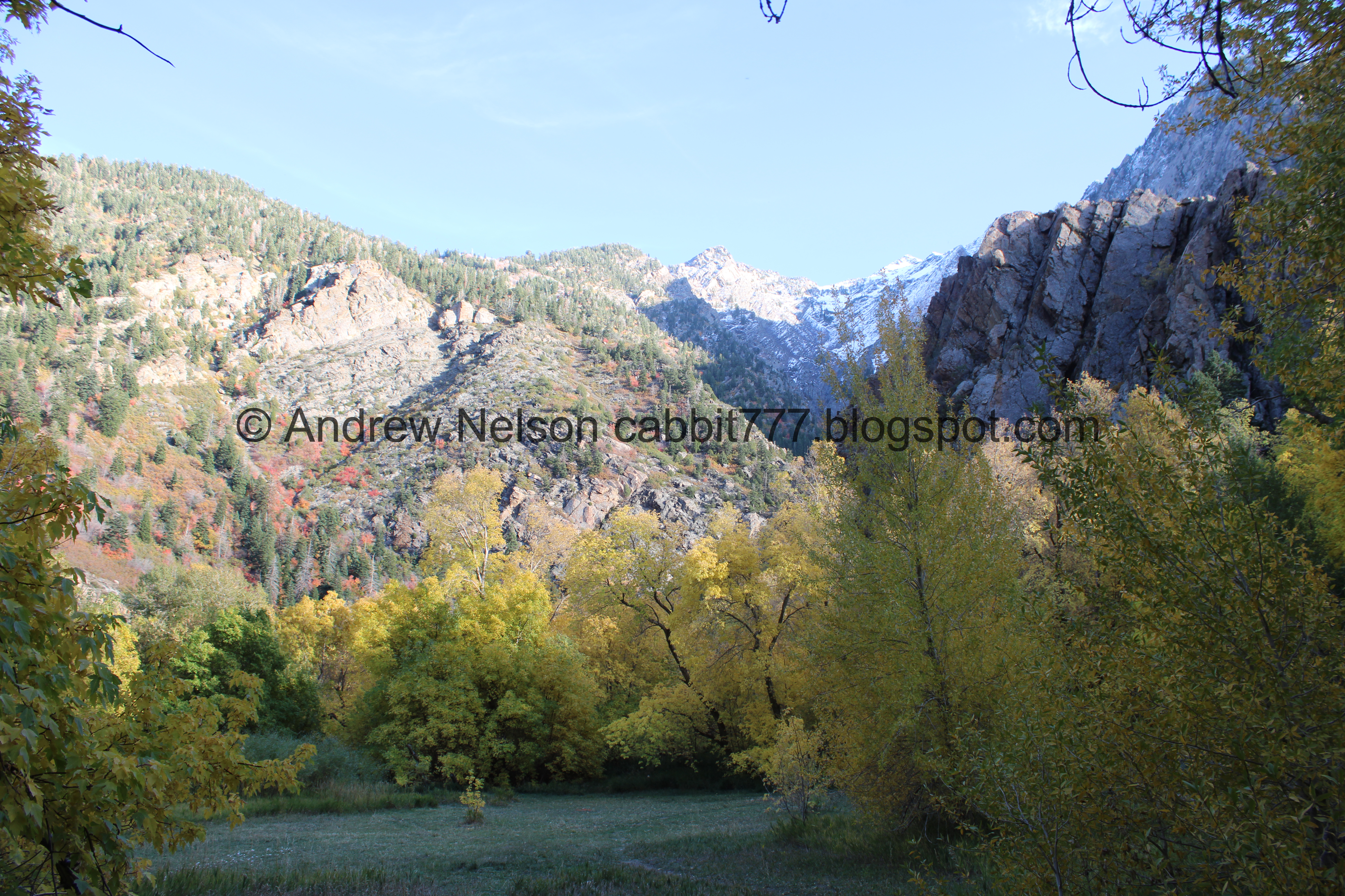
Storm Mountain.

View down to the bridge.

More color.

Big Cottonwood Creek.

Downstream.


Cliffs.


Lots of color.

A sign about how the CCC (nicknamed the Soldiers of Forestry) built the amphitheater here in 1933, as well as a few other still remain monuments in the canyons.
Unfortunately, there was a wedding happening at the amphitheater so I only got a quick glimpse of it and didn’t take any pictures. We kind of came around the corner and went ope! and turned around again. I feel a little bad, but I mean, that sort of thing can happen if you decide to use a public area. Technically I could have kept going, but I am not a dick. It is a shame though cause what I did see briefly looked pretty neat.

Cliffs again.

View up canyon.


More color.

To the south.

Snow on some of the higher peaks.


More color.

The individual picnic sites look nice.

There is a back pathway so we decided to explore that.

Looking up.


More color.

The creek again.

Upstream.
Storm Mountain again.

The spillway again.


More color.

Rock climber. Yep, definitely not a sport I could ever get into.

Trees growing out of the cliff.

Well, according to rule #1: “occupy a vacant camp unit, note number, and return here within 30 minutes” I think we complied with the rules only being here for about 20 minutes or so.


Some color as we leave the area.

Some color across the road, plus Storm Mountain.

More color.

Some color on this side of the road. I am not sure I recommend parking below on this side as the road is quite narrow, without much of a shoulder here. It was a little sketchy.

The creek coming out of Stairs Gulch again.

Trees in a tight canyon.

Heading down the canyon (Passenger Seat Photography (PSP)).

More color.
I am surprised I have lived here pretty much my entire life and only now got around to exploring this picnic area. I am glad we finally decided to check it out. It is pretty neat actually! Even with it being super busy, and a wedding happening, we were able to explore most of it and see this little neat nook in the canyon. 7 out of 10 squirrels.
As for difficulty, it is mostly paved, and we did some non paved stuff that was generally flat. DR3.
Dogs are not allowed in the canyon, so be sure to leave Fido home.

No comments:
Post a Comment