.jpg)
Parleys Trail is an 8 mile trail from the mouth of Parleys Canyon down to the Jordan River Parkway. We have been working our way up from the Jordan River, the previous section was all city so I was a little excited to do this next section that went through some parks. I did enjoy that part, but afterwards the trail was right net to i80 which was quite noisy, and I did not like that part very much. However I am determined to finish this trail. Plus, after a lot of rain, I really do appreciate that we have some paved options to do so we are not mucking around in the mud.

Sugar House Pond in Sugarhouse Park that the trail goes by.
Quick Details:
Length: We did about 4.07 out and back.
Trail Type: Out and back, connector.
Difficulty: It is paved with a gradual incline; DR2.
Elevation Gain: 410 feet.
Restroom: No. The restrooms in Fairmont Park are seemingly permanently closed. However you do pass by a few businesses that probably have one.
Dogs? Yes, Leashed.
Other Info: I would recommend having some earplugs handy for this part.
Cities: Salt Lake City
To Get Here:
Take i80 to 7th east and head north. Turn right on Simpson Ave. Left on 9th east and an immediate right on Sugarmont Dr. Then Fairmont Park will be on the right.

Low clouds clinging to the mountains (Passenger Seat Photography (PSP)).
The Trail:
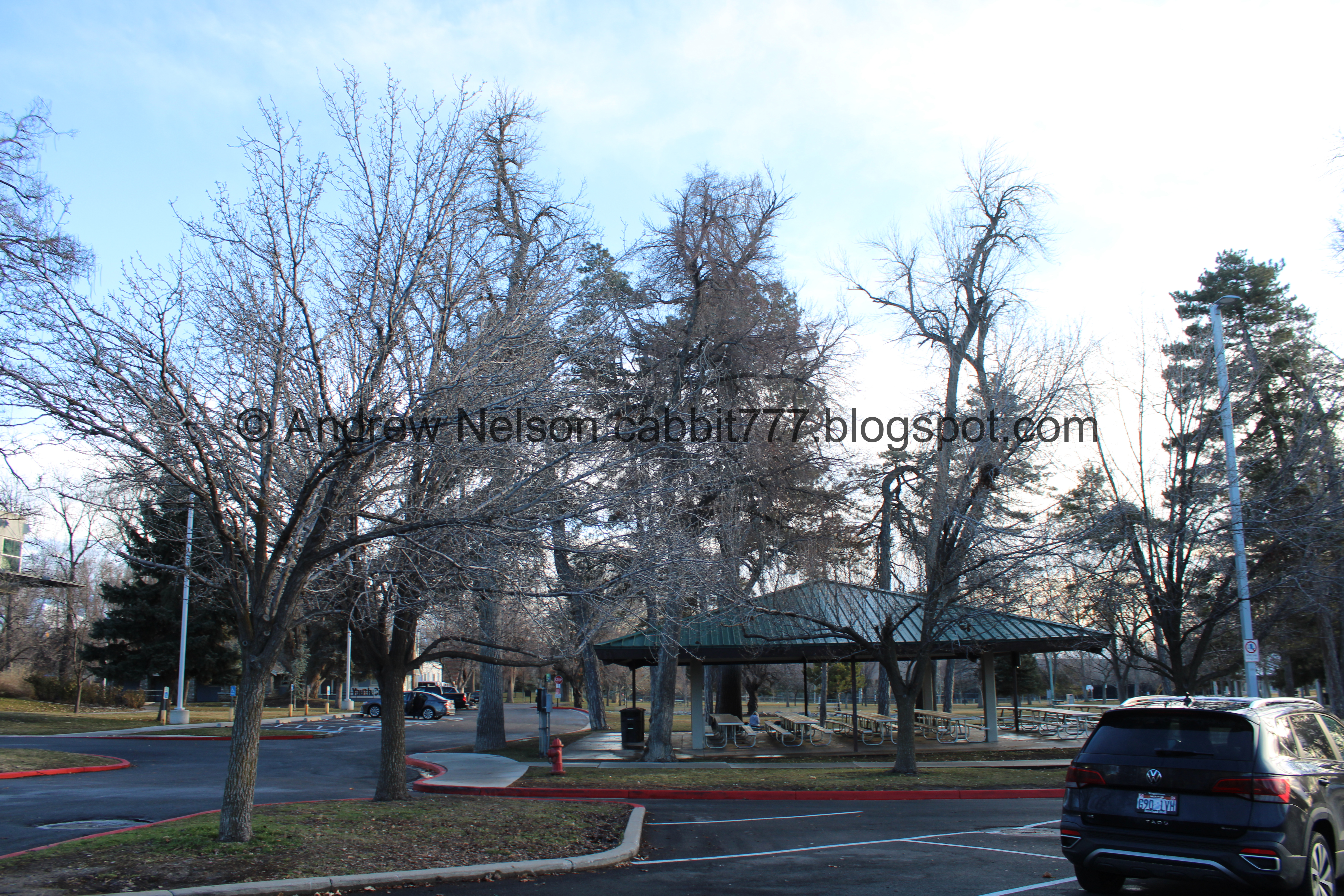
Fairmont Park. I didn’t take a photo but we picked up where we left off on McClelland St.

Fancy new apartment complex.

Heading up Sugarmont Dr.

More fancy apartments being built.

When you hit Highland Dr, you want to swing left.

The new apartments again.

At the first cross street, Wilmington Ave., you are going to swing to the right and keep heading east. There is a longer option to go a little further down Highland, but I decided against that today.

The heart of Sugarhouse is almost completely unrecognizable anymore. o.O

We will continue up Wilmington for just a minute.

I hate to use it as a marker since they went out of business, but I found cutting across the parking for Bed Bath and Beyond and then Petco (shared with Whole Foods, which might be here longer) gets you to Hidden Hollow quicker, and lets you escape the city faster. The official trail map suggests to keep going along Wilmington for a little longer, which just seems silly to me.

Just a bit further and we hit Hidden Hollow.


Sugar beet statues.

Now that we are about halfway up Parleys Trail we finally see Parleys Creek. Just after here it goes underground where it connects to Red Butte Creek, and Emigration Creek and doesn’t see daylight until the 3 Creeks Confluence,. It still really boggles my mind that our ancestors decided to bury our creeks.

Park sign.

Hidden Hollow again.

The was the original Sugarhouse Park. The current Sugarhouse Park was a prison at the time.

Fun carved rock.

Exploring Hidden Hollow.

The hollow.

Parleys Creek again.

One of our drinking water sources.
Also, if it were not for some school children, this little park would have been a parking lot. Oof!

The creek again.

Gathering data.

The creek.

Business on the block.

It’s been vandalized, but I can still read the original awesome message: "Don’t litter, there's critters here!" I love it.

This seems new. I wonder what they plan on doing here?

Pinyon Juniper Community. I am not 100% sure, but it appears to me they bulldozed over some of these for the previously shown structure.

The creek.

Trail marker.

Bridge over Parleys Creek.

Downstream.

Another sugar beet statue.


It looks like they preserved a little bit of an old building and built upon it. I wonder what the story of it might be.

The creek.

Wasatch Foothill Community.

Ty’s Garden.

Then we enter a little corridor that recreates the up river section near Echo.

Faux hoodoos.

The tunnel under 13th east. This is usually a hot spot for the homeless, but it looks like it has been cleared out at least for now.

The red rocks continue on the other side.

Little sculpture that represents the seven big creeks entering the Salt Lake Valley. Lets see, City Creek, Red Butte Creek, Emigration Creek, Parleys Creek, Millcreek, Big Cottonwood Creek, and Little Cottonwood Creek.

Entering Sugar House Park with some mountains.
.jpg)
Panoramic.

Sugar House Pond.

Trail split. You want to keep right here.

The pond again.

Parleys Creek again.

With the control gate.

Some more red rocks.

The park and mountains.

A group of Canada geese flew right over us.

Another look at the pond.

At the south end of the park the trail veers to the east, away from 13th east.

Mountains.

We are still in Sugar House Park.

I wonder why they cut these trees like this, rather than just cutting them down.

So the noise of 13th east has been replaced with the noise of i80. The rest of this section stays pretty close to it, and it is quite loud! If I were to do this section again I would definitely wear earplugs.

The park again.

Old horse shoe pits. At least that's what I think they are.

Pavilion and a small amphitheater. I still wonder why almost every single park in Utah has an amphitheater.

Nearing the back end of the park. The trees are lining Parleys Creek.

Half moon.

17th east. We are going to swing a right here.

There is a dedicated bike lane for this short road side section.

After you cross over i80, you will cross 17th east and head east again. There is a button to activate flashers if needed.

Oh boy! Now the trail is right next to i80. It’s quite loud through here and sometimes you can smell the brakes of idiots that rode them all the way down the canyon.
Again, if I would do this section again, I would definitely wear earplugs.

Mountains.

Wiggly bit.

More mountains.

Fun clouds looking back west.

More mountains.

Then the trail curves to the south away from the freeway.

Then we made it to Hillcrest Park which is just off of 20th East.

I decided that the little connector trail to 20th east would be a good turn around spot.

Neat bridge over 20th east. That pushed me to 2 miles, so that’s a nice round number. Okay, time to head back. It looks like the final section will be about 2.4 miles one way.

Hillcrest Park again.

Trail counter.

Mountains.

Back down the hill.

Which is a 7% grade.

Clouds and the big building in Sugar House.

More clouds.

Back to 17th east.

Mountains.

i80.

Back into Sugar House Park.

Getting a little bit of a sunset.

Sugar House Park.

Parleys Creek.


More fun clouds.

Little more sunset.

Baseball diamond.

More sunset.

The sunset is already fizzling out.

Fun with reflections.

The tall nekkid stumps again.


More fading sunset.

Found an aerial target.

Back to 13th east.

Sugar House Pond.

Parleys Creek again.
The pond again.

Fun pink clouds.

Back to the red rocks.

The 7 creeks garden again.

The tunnel under 13th.

Inside.

More colorful clouds.


Back to the faux hoodoos.

Some hanging gardens.

Back to Hidden Hollow with Parleys Creek below.

We decided to go back along the north side this time as I was pretty sure it was a loop (I was right, it is).

The creek again.

This side is closer to the apartments, but it’s still nice.

Cat.

Railroad.

We decided to go down to the little dock thingy.

Closer.

Oh wow. This is only the 2nd place we have been to that I have seen poison ivy warnings. The other place is Corner Canyon.

Natural cycles.

The creek again.

Closer.

Again.

Riparian Forest.

Bridge. This will get you back to the main trail, but we stayed on this side just a little longer.

Restaurant. Yellow Fin to be exact, so you can hop in for a quick bite if you want. If sushi isn’t your thing there are a couple other nearby options for good food. I recommend Spitz to the south or Wasatch Brew Pub to the west. It looks like you can follow the trail down to Highland for the latter option.

A Look Back.

Warning signs for run off season.

The Sugar Mill: How Sugar House Got It’s Name. It was built in 1854, failed and was converted to a paper mill in 1856, and torn down in 1928. That’s crazy that the thing for which named Sugar House lasted a whole 2 years.

Little stream.

Where Parleys Creek heads underground.

Sugar beet statues.

Heading across the parking lot towards Wilmington Ave.

Wilmington Ave. with the electric car charging stations.

Highland Dr. and the turnoff to Sugarmont Dr.

Sugarmont Dr.

With the fancy apartments.

Back to McClelland St. Cross here, and Sugarmont Ave, and you are back to Fairmont Park.

A little dark and thus, blurry but this manhole cover has the 2002 Olympics stuff on it. Salt Lake sure stuffed those just about anywhere they could.

Little stream in Fairmont Park. I had to use the restroom and was disappointed to learn the restrooms in the park appear to be permanently closed.

The other side.
I know there is a pond in this park, and I was hoping to be able to explore it a little today, but we are pretty much out of daylight, so I might have to come back sometime.

I am honestly quite surprised a climbing structure like this still exists in a public park. It looks super fun though!

Oh wow! The old Granite Furniture neon sign is still there! I bet the city probably offered an incentive to keep it like South Salt Lake did with the Ritz Bowling sign that we saw on the previous section.

Here is what it looks like from 2021 courtesy of Google Maps.

And here is what it used to look like in 2011, and before. It looks like it was switched over somewhere between 2011 and 2014.

Heading back home on i80, with the last sliver of sunset (PSP).
I really enjoyed the first half of this section, but the 2nd half was next to the freeway and was quite loud and ended up giving me a headache. I wish I had earplugs. However, it was nice to explore the middle of the valley, and it was not a very busy trail. Plus, on wet days like this it really is nice to have a paved option to explore. 7 out of 10 squirrels.
As for difficulty, it is paved, and the grade is mostly pretty gradual. DR2.
Dogs are allowed, but should be leashed at all times.

No comments:
Post a Comment