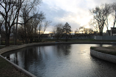
Scott Avenue Park AKA Ben Franklin Park, is a small park in Millcreek. The park features typical park amenities including some open fields, a small playground, a community garden, and well, Mill Creek loops through the north end creating a little pond. There are not a lot of places to enjoy Mill Creek in the valley below the canyon, but this is the 2nd one I have found. This park was specifically built as a detention basin, to hold floodwaters back.
Quick Details:
Length: We did about a quarter mile out and back, so not much.
Trail Type: Out and back, loop option.
Difficulty: It’s pretty flat, but a little lumpy, DR3.
Elevation Gain: Meh, maybe 10 feet.
Restroom: Yes, but not sure if they are year round or not.
Dogs? Yes, leashed.
Other Info:
To Get Here:
Take i15 to 33rd South and head east to 9th East, turn right. (you can use 7th, but then you have to get across it unassisted). About a quarter of a mile later turn left of Scott Avenue. The park will be on the left after a few houses.
Alternately take 45th south to 7th east, and turn right on Scott Avenue.
We came here directly after our previous adventure, so we came from the northeast.
Random giant chair at a Big O Tires we passed on 2000 East between our previous adventure and here (Passenger Seat Photography (PSP)).
Old smoke stack at Brickyard Plaza (PSP). I still need to explore that area someday.
The Trail:
The park, with the little pond that the bend in Mill Creek creates.
Mill Creek.
Coming out from under this bridge.
The pond.
The inlet and a storm water drain outlet.
Overflow wetland?
I learned that this, and several other parks in the county act as detention basins. Detention basins were designed to hold overflow water from spring run off. This helps prevent property damage.
These parks may close during spring run off due to excessive water.
Inlet.
Outlet. I also just noticed the section of wall that fell out. Crazy.
Panoramic.
Ducks and the outlet.
The pond again.
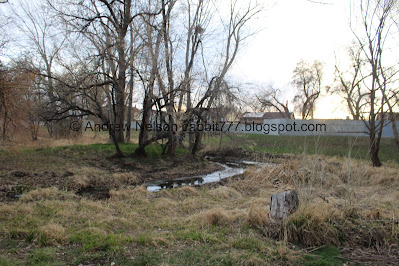
We decided to see where the overflow stream lead.
Continuing down.
It’s almost a nice little creek.
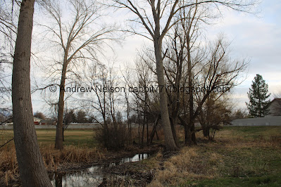
Nice forest.
Super sketchy makeshift bridge. Nope.
The overflow stream again.
Wetland plants.
More.
Another sketchy looking bridge.
Here the park, and the overflow stream curve to the west and keep going for a bit. I have absolutely no idea where it goes from here, but seeing as the park ends at that fence I decided there was no reason to keep going so we turned back. But, you can kind of see where the high water line is along here.
The elbow.
Heading back.
Mount Olympus.
Overflow creek.
It looks like someone is doing some cleanup in the park.
Back to the pond with some ducks.
Panoramic.
I randomly stumbled upon this image on google maps from May 2023. It’s pretty gnarly, but uh, definitely shows the need for the detention basin here. This was about the time the Sugar House Park (also a detention basin) closed due to flooding. Fox13 Article (outside link).
More overflow, the restrooms, the community garden, and the playground at the top left.
Mill Creek flowing through a private yard before it enters the park (PSP).
Well, this was kind of a neat park. Plus it is nice to see a tiny little bit of Mill Creek as it flows through the north end. It was not terribly busy today, which is always a plus. 7 out of 10 squirrels.
As for difficulty, to just enjoy the small pond and Mill Creek, it is paved and easy, DR2. The rest of the park is a little more rough, DR3.
Dogs are allowed, leashed. Please clean up after your furry friends.
.jpg)


.jpg)


.jpg)


No comments:
Post a Comment