.jpg)
This section of the Jordan River Parkway is kind of nice. Last time I did it there was a long detour around some construction, I saw the main project was complete so I thought I would come back. There is still a detour but it is a lot shorter now. This section is decent enough that I still might come back when I know the detour is done. I completed the entire Jordan River Parkway this spring, but there are a couple sections I will revisit, like this one due to detours etc.

Quick Details:
Length: 3.61 miles out and back.
Trail Type: Connector, Out and Back,
Difficulty: DR3. Its mostly paved right now, but there are a couple of hills.
Elevation Gain: 282
Restroom: At each end. Probably seasonal.
Dogs? Yes, leashed. Please clean up after your furry friends.
Other Info: Cities: Bluffdale. Jordan River Mile Markers: 11 and 10
To Get Here:
Take i15 to 14600 South. Head west to Redwood rd. Turn left. Go about a mile, and turn left on Iron Horse Blvd. Take that another 8/10 of a mile, the park will be on the right.
The Trail:

You will pick up the trail at the south end of the parking lot.

Unnamed hollow.

To the east towards Steep Mountain.

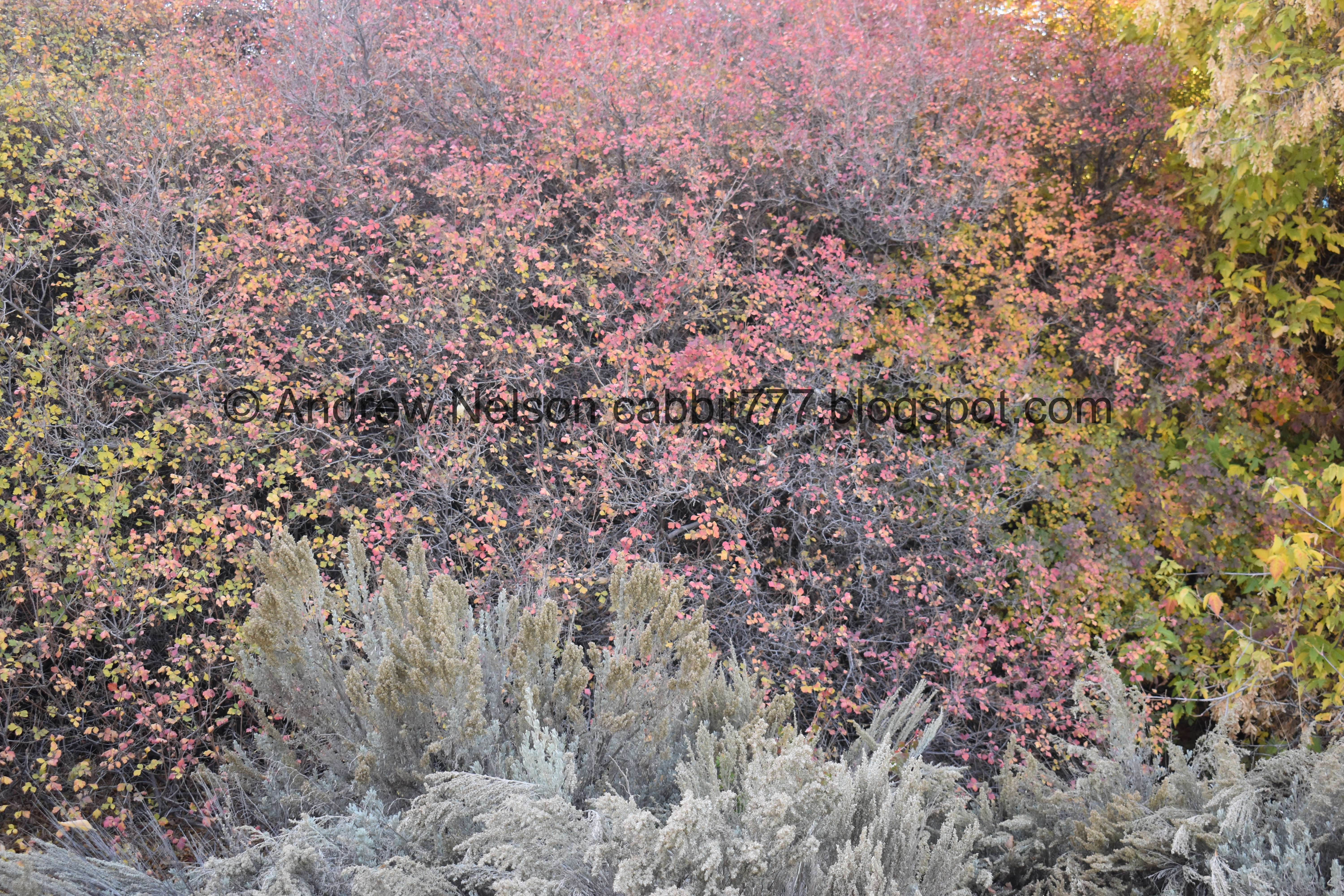
Little bit of color under Mount Jordan.

Last time I was here the detour started to the right here. So we will stay on the main trail and go forward.

Mile Marker 11. One of the few I was missing, because the detour went around it before.

First glimpse of Mount Timpanogos. And I believe that is Point Of The Mountain below it.

First glimpse of the newly constructed Porter Rockwell Bridge.

I believe the original path was to the right, now that is a neighborhood connector. With the completion of the bridge, I believe the trail was re-routed slightly to the left. I confirmed that with some historical views. Now that the bridge is complete, there is a LOT more traffic though this part of Porter Rockwell BLVD. Guess they didn’t want us darting across it any more. Although I don’t see any protected crossing for the Utah Lake Distribution Canal Trail which is just to the west.

Some color and the bridge. Bluffdale is doing way better than Lehi and Saratoga Springs in the fact that they are building major arteries to get around rather than relying on Redwood Rd.

More color.

It’s a bit of a hill.

The bridge again.

Heading underneath it.

A nice view into the Jordan Narrows.

Fancy new sign under the bridge.

The Jordan Narrows again. This is a narrow gully the Jordan River worked its way down from Utah Lake between Point Of The Mountain and the Oquirrh's to the west. In the narrowest part they managed to squeeze in a railroad next to the river. A little higher on the slopes they squeezed in i15 to the east and Redwood Road to the west.

Little bit of color.

The gully below.


Crossing over the Utah and Salt Lake Canal.

The gully again.

With some color.

Looking back at the new bridge.

Here is what it looked like last year from a similar vantage.

You don’t say? LOL

Hard packed dirt.

So I uhm, missed that the detour turned off to the right. I had just been following the bike tire tracks and wandered into the construction area. Luckily it is Saturday so they weren’t working. I posted a picture of what the (looking back) super obvious detour looks like a little further down, in case you do this on a weekday.
I imagine the current detour will be pretty close to the final route when all of this is done.

They are putting in a new neighborhood.

I noticed this small side trail to the south that appeared to head in the right direction, so I took that. Note: This is definitely not the route, but it did get me back on it eventually.

Heading across a nice desert plain.

Mount Timpanogos above Point Of The Mountain again.

Looking back north.

Eventually I connected back to the paved Jordan River Trail.

Nice patch of color.

The Salt Lake and Utah Railroad.
In 1914 the electric railway extended from Salt Lake to Payson. Providing transport for passengers, mail and freight. In the 1920’s automobiles became the preferred mode of transport and ridership declined. Operations ceased altogether in 1946.

Mile marker 10 and a bridge over an unnamed hollow.

This farm has a neat stack of boulders.

I am always looking to see if I can spot Alien Tower from below, but so far have not had much luck. However, I am fairly certain it is that small peak just right of center.

Horses.

Better view of Mount Timpanogos.

Little pond.

The trail again.

Some fun clouds.
Mount Timpanogos again.

I made it to the next junction. I didn’t bother to climb up to Jordan Narrows Park, but that only another 10th of a mile.

Heading back north.

The surprisingly flat horizon from here.

I assumed this was some sort of polygamous compound… I kind of hate the fact that it was a correct assumption.

Back to the little pond.

Horse.

More color.

The neat stacked rocks again.

More horses.

Back to the bridge over an unnamed hollow.

Back to mile marker 10.

Continuing along.

The unnamed hollow.

Mountains to the north.

To the south.

I considered taking that thin trail back the way I had came, but decided against it.

Little bit of color.

I fully acknowledge what an idiot I am. But I was so paranoid about having to try to cross the now very busy Porter Rockwell BLVD like last time, and in the moment I wasn’t sure where the detour would take me, or that it was actually quite short so, I went through the construction area to pick it up where I left it there. As you will soon see, I am an idiot.

Making my way through the future neighborhood. As I mentioned the heavy equipment wasn’t going due to it being Saturday.

Nice view of the new bridge.

Had I taken the detour, this is where it would have spit me out. Had I not completely somehow missed this on the way in I would have known that. It’s so obvious, how in the hell did I miss it earlier?

Continuing along the unpaved section.

The Utah and Salt Lake Canal.

Back to the paved trail.

The new bridge again.

Little bit of color below.

Some more with a little glimpse of the river.

Bridge over the Utah And Salt Lake Canal.

Looks like this might be Wood Hollow above the canal.

Looking south towards the narrows.

Heading back under the bridge.

South again.

Under the bridge. It’s crazy that there is only one set of supports under it. But I remember seeing it being built and the supports on either end seemed pretty substantial.

Little bit more color.

Mile Marker 11.

I wonder what this old structure used to be? Now its a place for local teens to tag.

Mount Jordan and some color.

Back to Parry Farms Park.
Aside from me being an idiot and missing the turn off for the detour I liked this section better than I did last time. I also enjoyed seeing the new bridge completed and how much it added traffic to that road. Bluffdale is doing a LOT better than Lehi and Saratoga springs in the fact that they are building major arteries to get around rather than relying on Redwood Rd. Anyway, not terribly busy today and had some nice sights. 7 out of 10 squirrels.
As for difficulty, it is mostly paved right now. But even when finalized and fully paved there are a couple hilly sections so DR3.
Dogs are allowed, but should remain leashed at all times. Please clean up after your furry friends.

No comments:
Post a Comment